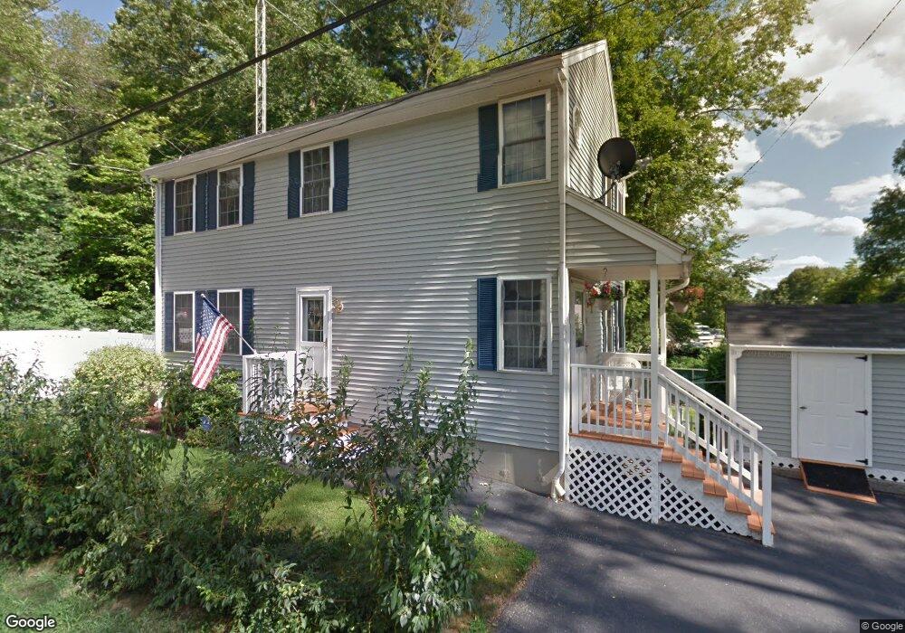
15 Woodman Ave Haverhill, MA 01830
Upper Main Street NeighborhoodEstimated Value: $579,000 - $635,000
3
Beds
3
Baths
1,547
Sq Ft
$389/Sq Ft
Est. Value
About This Home
This home is located at 15 Woodman Ave, Haverhill, MA 01830 and is currently estimated at $601,892, approximately $389 per square foot. 15 Woodman Ave is a home located in Essex County with nearby schools including Pentucket Lake Elementary School.
Ownership History
Date
Name
Owned For
Owner Type
Purchase Details
Closed on
Dec 20, 2024
Sold by
Bibeau William R
Bought by
Bibeau William R and Bibeau Christine M
Current Estimated Value
Create a Home Valuation Report for This Property
The Home Valuation Report is an in-depth analysis detailing your home's value as well as a comparison with similar homes in the area
Home Values in the Area
Average Home Value in this Area
Purchase History
| Date | Buyer | Sale Price | Title Company |
|---|---|---|---|
| Bibeau William R | -- | None Available | |
| Bibeau William R | -- | None Available |
Source: Public Records
Tax History Compared to Growth
Tax History
| Year | Tax Paid | Tax Assessment Tax Assessment Total Assessment is a certain percentage of the fair market value that is determined by local assessors to be the total taxable value of land and additions on the property. | Land | Improvement |
|---|---|---|---|---|
| 2025 | $5,088 | $475,100 | $156,500 | $318,600 |
| 2024 | $4,898 | $460,300 | $153,300 | $307,000 |
| 2023 | $4,841 | $434,200 | $153,300 | $280,900 |
| 2022 | $4,713 | $370,500 | $145,600 | $224,900 |
| 2021 | $4,528 | $336,900 | $130,100 | $206,800 |
| 2020 | $4,404 | $323,800 | $122,400 | $201,400 |
| 2019 | $4,301 | $308,300 | $106,900 | $201,400 |
| 2018 | $4,128 | $289,500 | $100,700 | $188,800 |
| 2017 | $4,133 | $275,700 | $97,600 | $178,100 |
| 2016 | $3,846 | $250,400 | $76,000 | $174,400 |
| 2015 | $3,844 | $250,400 | $76,000 | $174,400 |
Source: Public Records
Map
Nearby Homes
- 0 Plaistow Rd Unit 73184617
- 42 Plaistow Rd
- 113 Brickett Hill Cir Unit 113
- 175 Brickett Hill Cir Unit 175
- 120 Brickett Hill Cir Unit 120
- 8 Iris Way Unit 8
- 55 Ledge Rd
- 1022 Main St
- 994 Main St
- 440 North Ave Unit 60
- 440 North Ave Unit 145
- 440 North Ave Unit 234
- 440 North Ave Unit 110
- 22 W Pine St
- 19 King St
- 28 Forrest St
- 4 Country Meadow Rd
- 201 Oak Ridge Rd
- 207 Oak Ridge Rd
- 15 Canterbury Forest Unit B