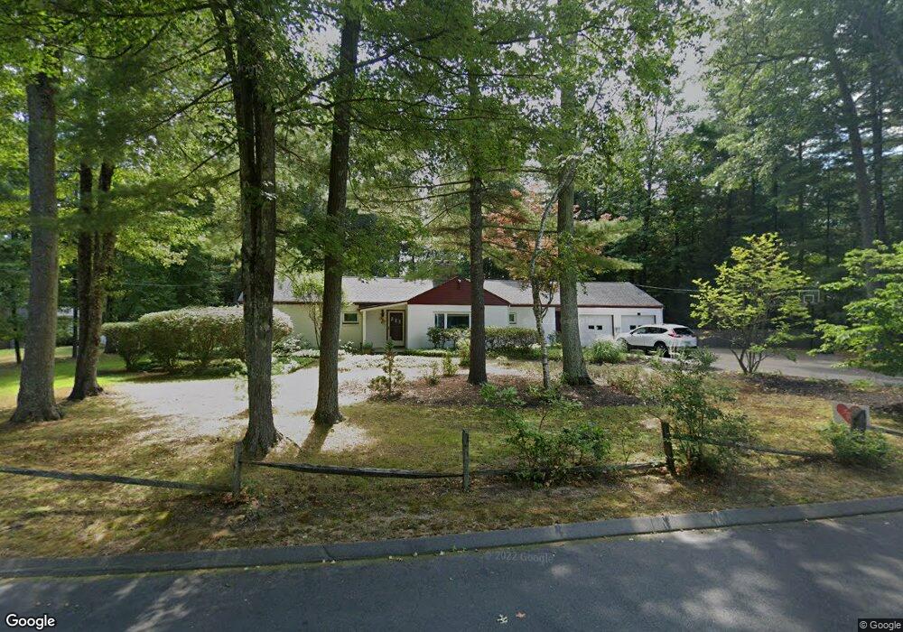
15 Woodside Cir Simsbury, CT 06070
Estimated Value: $374,000 - $452,000
3
Beds
2
Baths
1,639
Sq Ft
$243/Sq Ft
Est. Value
About This Home
This home is located at 15 Woodside Cir, Simsbury, CT 06070 and is currently estimated at $398,962, approximately $243 per square foot. 15 Woodside Cir is a home located in Hartford County with nearby schools including Central School, Henry James Memorial School, and Simsbury High School.
Ownership History
Date
Name
Owned For
Owner Type
Purchase Details
Closed on
Feb 26, 2025
Sold by
Ferraresso Peter D
Bought by
Ferraresso Judith M
Current Estimated Value
Purchase Details
Closed on
Dec 23, 2020
Sold by
Mackay David E and Mackay Dorothy L
Bought by
Dorothy L Mackay 2020 T
Create a Home Valuation Report for This Property
The Home Valuation Report is an in-depth analysis detailing your home's value as well as a comparison with similar homes in the area
Home Values in the Area
Average Home Value in this Area
Purchase History
| Date | Buyer | Sale Price | Title Company |
|---|---|---|---|
| Ferraresso Judith M | -- | None Available | |
| Ferraresso Judith M | -- | None Available | |
| Dorothy L Mackay 2020 T | -- | None Available | |
| Dorothy L Mackay 2020 T L | -- | None Available |
Source: Public Records
Tax History Compared to Growth
Tax History
| Year | Tax Paid | Tax Assessment Tax Assessment Total Assessment is a certain percentage of the fair market value that is determined by local assessors to be the total taxable value of land and additions on the property. | Land | Improvement |
|---|---|---|---|---|
| 2025 | $6,373 | $186,550 | $75,250 | $111,300 |
| 2024 | $6,116 | $183,610 | $75,250 | $108,360 |
| 2023 | $5,842 | $183,610 | $75,250 | $108,360 |
| 2022 | $5,579 | $144,430 | $79,730 | $64,700 |
| 2021 | $5,579 | $144,430 | $79,730 | $64,700 |
| 2020 | $5,357 | $144,430 | $79,730 | $64,700 |
| 2019 | $5,390 | $144,430 | $79,730 | $64,700 |
| 2018 | $5,429 | $144,430 | $79,730 | $64,700 |
| 2017 | $5,159 | $133,090 | $79,730 | $53,360 |
| 2016 | $4,940 | $133,090 | $79,730 | $53,360 |
| 2015 | $4,940 | $133,090 | $79,730 | $53,360 |
| 2014 | $4,943 | $133,090 | $79,730 | $53,360 |
Source: Public Records
Map
Nearby Homes
- 16 Stratton Forest Way
- 3 Stebbins Brook Ln
- 4 Stebbins Brook Ln
- 18 Meadowlark Rd
- 40 Firetown Rd Unit 39
- 1 West St Unit 206
- 15 Sand Hill Rd
- 48 Library Ln Unit 48
- 308 Hopmeadow St
- 301 Bushy Hill Rd
- 10 Sachems Trail
- 25 Barry Ln
- 3 Cobtail Way
- 3 Minister Brook Dr
- 8 Quorn Hunt Rd
- 9 Cobtail Way
- 15 Pinnacle Mountain Rd
- 8 Crane Place
- 395 Bushy Hill Rd
- 26 Winterset Ln
- 11 Woodside Cir
- 21 Woodside Cir
- 16 Woodside Cir
- 14 Woodside Cir
- 3 Woodside Cir
- 6 Forest Ln
- 25 Woodside Cir
- 1 Woodside Cir
- 24 Woodside Cir
- 2 Forest Ln
- 20 Woodside Cir
- 10 Woodside Cir
- 6 Woodside Cir
- 11 Forest Ln
- 5 Forest Ln
- 2 Woodside Cir
- 1 Forest Ln
- 32 Woodside Cir
- 35 Woodside Cir
- 502 Powder Forest Way