15 Wrenfield Ln Darien, CT 06820
Estimated Value: $5,101,000 - $6,794,000
6
Beds
9
Baths
8,677
Sq Ft
$669/Sq Ft
Est. Value
About This Home
This home is located at 15 Wrenfield Ln, Darien, CT 06820 and is currently estimated at $5,808,718, approximately $669 per square foot. 15 Wrenfield Ln is a home located in Fairfield County with nearby schools including Ox Ridge Elementary School, Middlesex Middle School, and Darien High School.
Ownership History
Date
Name
Owned For
Owner Type
Purchase Details
Closed on
Jul 8, 2015
Sold by
Calvillo Sean G and Calvillo Kristie H
Bought by
Sedgwick Realty Llc
Current Estimated Value
Purchase Details
Closed on
May 11, 2004
Sold by
Juterbock Thomas Michael and Juterbock Cynthia Starkel
Bought by
Iovlarios John and Iovlarios Linda
Purchase Details
Closed on
Apr 12, 1991
Sold by
Mansfield Greens Lp
Bought by
Juterbock Thomas and Juterbock Cynthia
Create a Home Valuation Report for This Property
The Home Valuation Report is an in-depth analysis detailing your home's value as well as a comparison with similar homes in the area
Home Values in the Area
Average Home Value in this Area
Purchase History
| Date | Buyer | Sale Price | Title Company |
|---|---|---|---|
| Sedgwick Realty Llc | $885,000 | -- | |
| Iovlarios John | $700,000 | -- | |
| Juterbock Thomas | $725,000 | -- |
Source: Public Records
Mortgage History
| Date | Status | Borrower | Loan Amount |
|---|---|---|---|
| Previous Owner | Juterbock Thomas | $600,000 | |
| Previous Owner | Juterbock Thomas | $1,000,000 | |
| Previous Owner | Juterbock Thomas | $1,000,000 |
Source: Public Records
Tax History Compared to Growth
Tax History
| Year | Tax Paid | Tax Assessment Tax Assessment Total Assessment is a certain percentage of the fair market value that is determined by local assessors to be the total taxable value of land and additions on the property. | Land | Improvement |
|---|---|---|---|---|
| 2025 | $51,061 | $3,298,540 | $910,490 | $2,388,050 |
| 2024 | $48,456 | $3,298,540 | $910,490 | $2,388,050 |
| 2023 | $46,565 | $2,644,250 | $607,040 | $2,037,210 |
| 2022 | $44,692 | $2,593,850 | $607,040 | $1,986,810 |
| 2021 | $43,278 | $2,569,980 | $607,040 | $1,962,940 |
| 2020 | $42,045 | $2,569,980 | $607,040 | $1,962,940 |
| 2019 | $42,328 | $2,569,980 | $607,040 | $1,962,940 |
| 2018 | $56,376 | $3,505,950 | $650,370 | $2,855,580 |
| 2017 | $56,656 | $3,505,950 | $650,370 | $2,855,580 |
| 2016 | $55,289 | $3,505,950 | $650,370 | $2,855,580 |
| 2015 | $53,816 | $3,505,950 | $650,370 | $2,855,580 |
| 2014 | $52,624 | $3,505,950 | $650,370 | $2,855,580 |
Source: Public Records
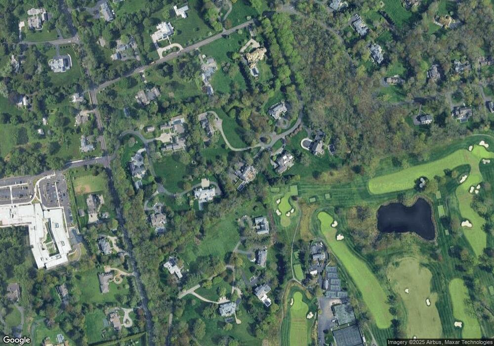
Map
Nearby Homes
- 561 Middlesex Rd
- 109 Stephen Mather Rd
- 20 Marianne Rd
- 7 Tommys Ln
- 469 Brookside Rd
- 201 W Norwalk Rd
- 175 W Norwalk Rd
- 865 Hollow Tree Ridge Rd
- 7 Morehouse Ln
- 6 Priscilla Ln
- 58 Old Rock Ln
- 5 Betmarlea Rd
- 41 Wakemore St
- 97 Richards Ave Unit B10
- 97 Richards Ave Unit E12
- 10 Prospect Ave
- 32 Kensett Ln Unit 32
- 72 Kensett Ln
- 358 Hoyt St
- 5 Gray Squirrel Dr
- 7 Wrenfield Ln
- 16 Wrenfield Ln
- 394 Mansfield Ave
- 370 Mansfield Ave
- 4 Wrenfield Ln
- 400 Mansfield Ave
- 1 Wrenfield Ln
- 366 Mansfield Ave
- 396 Mansfield Ave
- 26 Pembroke Rd
- 38 Pembroke Rd
- 364 Mansfield Ave
- 360 Mansfield Ave
- 398 Mansfield Ave
- 19 Pembroke Rd
- 10 Pembroke Rd
- 362 Mansfield Ave
- 383 Mansfield Ave
- 381 Mansfield Ave
- 19 Salisbury Rd