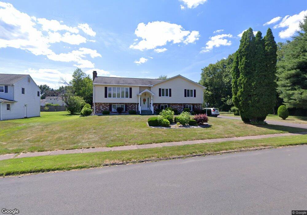
15 Wyndwood Rd Wethersfield, CT 06109
Estimated Value: $485,000 - $516,281
3
Beds
3
Baths
1,614
Sq Ft
$312/Sq Ft
Est. Value
About This Home
This home is located at 15 Wyndwood Rd, Wethersfield, CT 06109 and is currently estimated at $503,570, approximately $312 per square foot. 15 Wyndwood Rd is a home located in Hartford County with nearby schools including Highcrest School, Silas Deane Middle School, and Wethersfield High School.
Ownership History
Date
Name
Owned For
Owner Type
Purchase Details
Closed on
Jun 29, 1989
Sold by
Rockford Margaret
Bought by
Weinstein Judy
Current Estimated Value
Home Financials for this Owner
Home Financials are based on the most recent Mortgage that was taken out on this home.
Original Mortgage
$234,000
Interest Rate
10.56%
Create a Home Valuation Report for This Property
The Home Valuation Report is an in-depth analysis detailing your home's value as well as a comparison with similar homes in the area
Home Values in the Area
Average Home Value in this Area
Purchase History
| Date | Buyer | Sale Price | Title Company |
|---|---|---|---|
| Weinstein Judy | $260,000 | -- |
Source: Public Records
Mortgage History
| Date | Status | Borrower | Loan Amount |
|---|---|---|---|
| Closed | Weinstein Judy | $220,000 | |
| Closed | Weinstein Judy | $234,000 |
Source: Public Records
Tax History Compared to Growth
Tax History
| Year | Tax Paid | Tax Assessment Tax Assessment Total Assessment is a certain percentage of the fair market value that is determined by local assessors to be the total taxable value of land and additions on the property. | Land | Improvement |
|---|---|---|---|---|
| 2025 | $12,434 | $301,660 | $104,540 | $197,120 |
| 2024 | $8,421 | $194,830 | $84,880 | $109,950 |
| 2023 | $8,140 | $194,830 | $84,880 | $109,950 |
| 2022 | $8,004 | $194,830 | $84,880 | $109,950 |
| 2021 | $7,924 | $194,830 | $84,880 | $109,950 |
| 2020 | $7,928 | $194,830 | $84,880 | $109,950 |
| 2019 | $7,937 | $194,830 | $84,880 | $109,950 |
| 2018 | $7,993 | $196,000 | $84,400 | $111,600 |
| 2017 | $7,795 | $196,000 | $84,400 | $111,600 |
| 2016 | $7,554 | $196,000 | $84,400 | $111,600 |
| 2015 | $7,485 | $196,000 | $84,400 | $111,600 |
| 2014 | $7,201 | $196,000 | $84,400 | $111,600 |
Source: Public Records
Map
Nearby Homes
- 887 Cloverdale Cir
- 268 Fox Hill Rd
- 211 Fairlane Dr
- 325 Fox Hill Rd
- 41 Maxwell Dr
- 0 Old Post Rd
- 45 Sandy Dr
- 52 Sandy Dr
- 37 Two Stone Dr
- 34 Clayton Dr
- 88 Highland St
- 19 Jacob Dr
- 37 Deming Rd
- 42 Rose Ct
- 89 Gilbert Ave
- 27 Little Oak Ln Unit 27
- 36 Copper Beech Dr
- 5 Robeth Ln
- 4 Lexington Ct
- 101 Collier Rd
- 9 Wyndwood Rd
- 416 Coppermill Rd
- 860 Cloverdale Cir
- 886 Cloverdale Cir
- 424 Coppermill Rd
- 850 Cloverdale Cir
- 432 Coppermill Rd
- 188 Fox Hill Rd
- 196 Fox Hill Rd
- 180 Fox Hill Rd
- 440 Coppermill Rd
- 206 Fox Hill Rd
- 871 Cloverdale Cir
- 214 Fox Hill Rd
- 863 Cloverdale Cir
- 174 Fox Hill Rd
- 855 Cloverdale Cir
- 895 Cloverdale Cir
- 847 Cloverdale Cir
- 417 Coppermill Rd