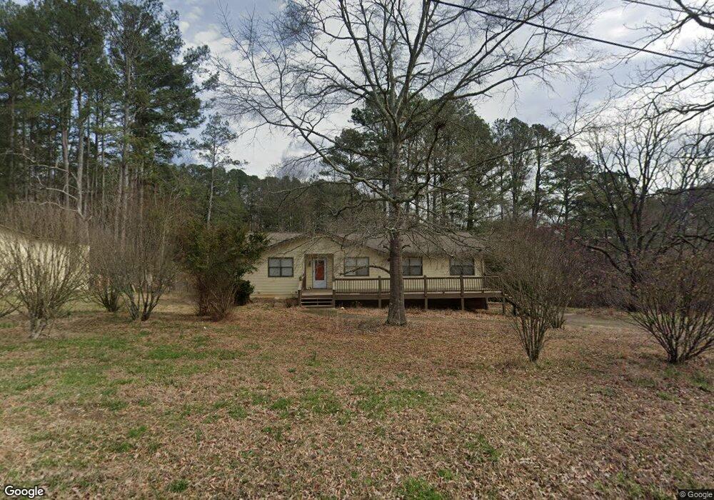
150 Adams Rd Canton, GA 30115
Union Hill NeighborhoodEstimated Value: $369,474 - $465,000
4
Beds
2
Baths
1,438
Sq Ft
$282/Sq Ft
Est. Value
About This Home
This home is located at 150 Adams Rd, Canton, GA 30115 and is currently estimated at $406,119, approximately $282 per square foot. 150 Adams Rd is a home located in Cherokee County with nearby schools including Avery Elementary School, Creekland Middle School, and Creekview High School.
Ownership History
Date
Name
Owned For
Owner Type
Purchase Details
Closed on
Jun 15, 2022
Sold by
Attard Michael G
Bought by
Attard Edna F and Attard Michael J
Current Estimated Value
Create a Home Valuation Report for This Property
The Home Valuation Report is an in-depth analysis detailing your home's value as well as a comparison with similar homes in the area
Home Values in the Area
Average Home Value in this Area
Purchase History
| Date | Buyer | Sale Price | Title Company |
|---|---|---|---|
| Attard Edna F | -- | -- |
Source: Public Records
Tax History
| Year | Tax Paid | Tax Assessment Tax Assessment Total Assessment is a certain percentage of the fair market value that is determined by local assessors to be the total taxable value of land and additions on the property. | Land | Improvement |
|---|---|---|---|---|
| 2025 | $3,644 | $138,776 | $62,200 | $76,576 |
| 2024 | $3,230 | $124,296 | $50,200 | $74,096 |
| 2023 | $2,165 | $108,856 | $40,480 | $68,376 |
| 2022 | $2,297 | $93,216 | $38,880 | $54,336 |
| 2021 | $2,106 | $76,868 | $32,400 | $44,468 |
| 2020 | $1,970 | $71,560 | $32,400 | $39,160 |
| 2019 | $1,834 | $66,760 | $32,400 | $34,360 |
| 2018 | $1,803 | $65,320 | $32,400 | $32,920 |
| 2017 | $1,618 | $164,400 | $32,400 | $33,360 |
| 2016 | $1,618 | $144,700 | $27,000 | $30,880 |
| 2015 | $1,620 | $143,500 | $26,080 | $31,320 |
| 2014 | $1,468 | $130,300 | $21,600 | $30,520 |
Source: Public Records
Map
Nearby Homes
- 1205 Sterlington Dr
- 1209 Sterlington Dr
- 1217 Sterlington Dr
- 1216 Sterlington Dr
- 2001 Epperson Rd
- 1281 Sterlington Dr
- 1107 Forest Creek Dr
- 105 Widgeon Ct
- 258 Arliss Dr
- 174 Wheeler Martin Dr
- 170 Wheeler Martin Dr
- 115 Wood Grove Ln
- 302 Waterfall Ct
- 103 Wood Grove Ln
- 320 Evie Ln
- 7820 E Cherokee Dr
- 4983 Cumming Hwy
- 103 Forest Creek Way
- 322 Evie Ln
- 115 Old Cumming Dr
- 00 Adams Rd
- 502 Henson Way
- 560 Henson Way
- 541 Henson Way
- 501 Henson Way
- 501 Henson Way
- 461 Henson Way
- 430 Henson Way
- 594 Henson Way
- 0 Adams Rd Unit 6095609
- 0 Adams Rd Unit 8479159
- 374 Henson Way
- 512 Henson Rd
- 377 Adams Rd
- 600 Henson Rd
- 458 Henson Rd
- 322 Henson Way
- 620 Henson Rd
- 465 Adams Rd
- 770 Henson Way
Your Personal Tour Guide
Ask me questions while you tour the home.