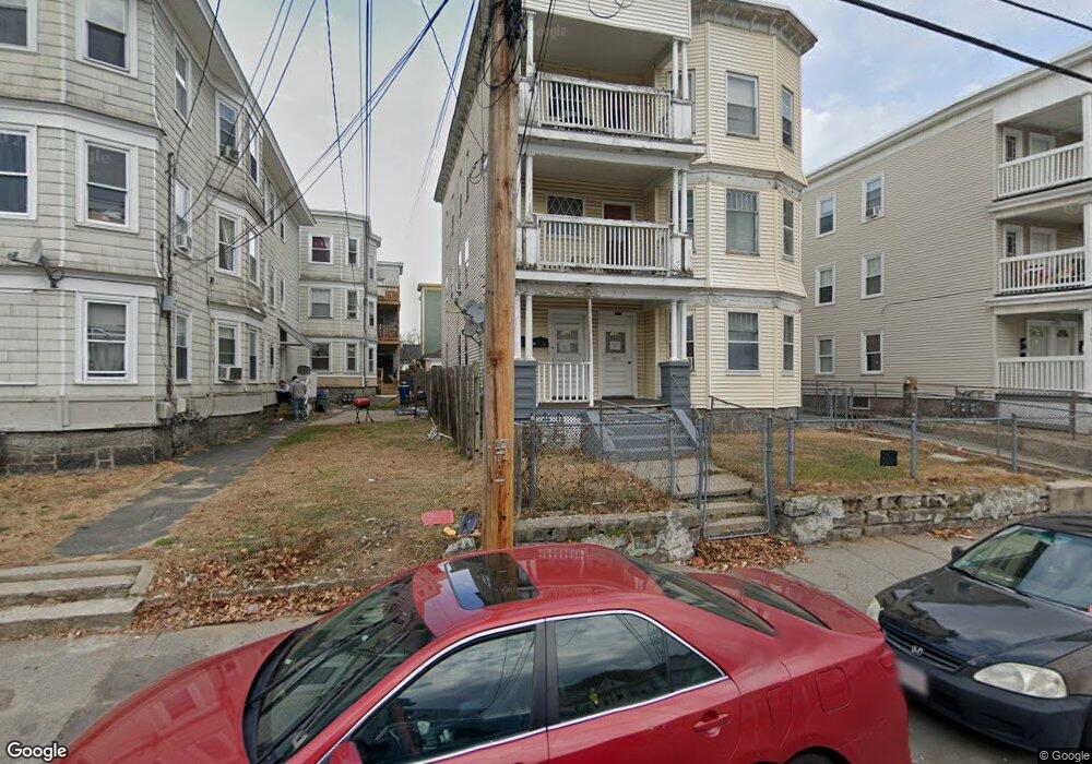
150 Andover St Unit 152 Lawrence, MA 01843
South Common NeighborhoodEstimated Value: $854,000 - $947,000
6
Beds
3
Baths
4,020
Sq Ft
$221/Sq Ft
Est. Value
About This Home
This home is located at 150 Andover St Unit 152, Lawrence, MA 01843 and is currently estimated at $889,333, approximately $221 per square foot. 150 Andover St Unit 152 is a home located in Essex County with nearby schools including John Breen School, South Lawrence East Elementary School, and School For Exceptional Studies.
Ownership History
Date
Name
Owned For
Owner Type
Purchase Details
Closed on
Oct 27, 2005
Sold by
Monroy Billy N
Bought by
Unacha Rachel
Current Estimated Value
Home Financials for this Owner
Home Financials are based on the most recent Mortgage that was taken out on this home.
Original Mortgage
$304,000
Outstanding Balance
$164,013
Interest Rate
5.79%
Mortgage Type
Purchase Money Mortgage
Estimated Equity
$725,320
Purchase Details
Closed on
Jan 20, 2004
Sold by
Monroy Billy N and Monroy Billy
Bought by
Monroy Billy
Create a Home Valuation Report for This Property
The Home Valuation Report is an in-depth analysis detailing your home's value as well as a comparison with similar homes in the area
Home Values in the Area
Average Home Value in this Area
Purchase History
| Date | Buyer | Sale Price | Title Company |
|---|---|---|---|
| Unacha Rachel | $380,000 | -- | |
| Monroy Billy | -- | -- |
Source: Public Records
Mortgage History
| Date | Status | Borrower | Loan Amount |
|---|---|---|---|
| Open | Unacha Rachel | $304,000 |
Source: Public Records
Tax History Compared to Growth
Tax History
| Year | Tax Paid | Tax Assessment Tax Assessment Total Assessment is a certain percentage of the fair market value that is determined by local assessors to be the total taxable value of land and additions on the property. | Land | Improvement |
|---|---|---|---|---|
| 2025 | $6,115 | $694,900 | $114,600 | $580,300 |
| 2024 | $6,155 | $665,400 | $124,000 | $541,400 |
| 2023 | $6,118 | $602,200 | $115,000 | $487,200 |
| 2022 | $6,039 | $527,900 | $104,300 | $423,600 |
| 2021 | $5,764 | $469,800 | $104,300 | $365,500 |
| 2020 | $5,296 | $426,100 | $98,900 | $327,200 |
| 2019 | $5,137 | $375,500 | $82,200 | $293,300 |
| 2018 | $4,966 | $346,800 | $77,800 | $269,000 |
| 2017 | $4,608 | $300,400 | $73,500 | $226,900 |
| 2016 | $4,346 | $280,200 | $60,500 | $219,700 |
| 2015 | $4,264 | $282,000 | $60,500 | $221,500 |
Source: Public Records
Map
Nearby Homes
- 78-80 Osgood St
- 176-178 Bailey St
- 111 Cambridge St Unit D
- 64 Salem St
- 139-141 Foster St
- 356-360 S Union St
- 91 Farnham St
- 27-29 Dorchester St
- 46 Loring St
- 83 Jamaica St
- 317 Middlesex St
- 11 Fernwood St
- 11 Patton St
- 114 Beverly St
- 42 Durso Ave
- 177 & 183 Massachusetts Ave
- 13 Kingston St
- 25 Durham St
- 127 Marblehead St Unit A
- 78 Union St Unit 80
- 150-152 Andover St
- 140 Andover St Unit 142
- 158 Andover St Unit 160
- 158 Andover St Unit 3
- 158 Andover St Unit 2
- 45 Phillips St
- 45 Phillips St Unit 1
- 45 Phillips St Unit 2
- 45 Phillips St Unit 3
- 49 Phillips St Unit 2
- 49 Phillips St
- 41 Phillips St
- 49 Phillips St
- 35 Phillips St Unit 37
- 211 Farnham St
- 162 Andover St Unit 164
- 162 Andover St Unit 1st floor
- 147 Andover St Unit 149
- 157 Andover St Unit B
- 157 Andover St Unit A