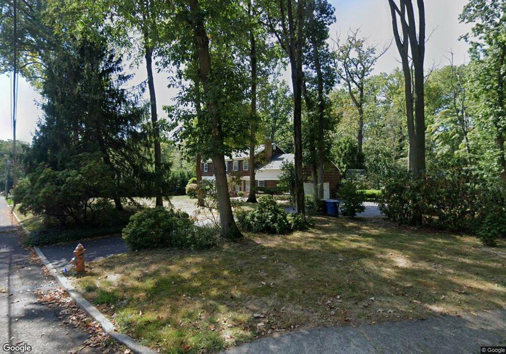
150 Bamm Hollow Rd Middletown, NJ 07748
New Monmouth NeighborhoodEstimated Value: $1,074,160 - $1,506,000
4
Beds
3
Baths
3,070
Sq Ft
$415/Sq Ft
Est. Value
About This Home
This home is located at 150 Bamm Hollow Rd, Middletown, NJ 07748 and is currently estimated at $1,273,040, approximately $414 per square foot. 150 Bamm Hollow Rd is a home located in Monmouth County with nearby schools including Nut Swamp Elementary School, Thompson Middle School, and Middletown - South High School.
Ownership History
Date
Name
Owned For
Owner Type
Purchase Details
Closed on
May 5, 2011
Sold by
Weiss Donna H and Sahner Todd M
Bought by
Vitt Michael
Current Estimated Value
Home Financials for this Owner
Home Financials are based on the most recent Mortgage that was taken out on this home.
Original Mortgage
$417,000
Outstanding Balance
$287,732
Interest Rate
4.88%
Mortgage Type
New Conventional
Estimated Equity
$985,308
Purchase Details
Closed on
Apr 18, 2007
Sold by
Sahner Todd M and Sahner Donna H
Bought by
Weiss Donna H
Create a Home Valuation Report for This Property
The Home Valuation Report is an in-depth analysis detailing your home's value as well as a comparison with similar homes in the area
Home Values in the Area
Average Home Value in this Area
Purchase History
| Date | Buyer | Sale Price | Title Company |
|---|---|---|---|
| Vitt Michael | $575,000 | None Available | |
| Weiss Donna H | $67,000 | None Available |
Source: Public Records
Mortgage History
| Date | Status | Borrower | Loan Amount |
|---|---|---|---|
| Open | Vitt Michael | $417,000 |
Source: Public Records
Tax History Compared to Growth
Tax History
| Year | Tax Paid | Tax Assessment Tax Assessment Total Assessment is a certain percentage of the fair market value that is determined by local assessors to be the total taxable value of land and additions on the property. | Land | Improvement |
|---|---|---|---|---|
| 2025 | $14,984 | $974,400 | $487,600 | $486,800 |
| 2024 | $15,663 | $910,900 | $435,800 | $475,100 |
| 2023 | $15,663 | $901,200 | $430,600 | $470,600 |
| 2022 | $15,284 | $799,800 | $351,700 | $448,100 |
| 2021 | $15,284 | $734,800 | $336,300 | $398,500 |
| 2020 | $14,562 | $681,100 | $291,600 | $389,500 |
| 2019 | $14,338 | $678,900 | $291,600 | $387,300 |
| 2018 | $14,320 | $660,800 | $291,600 | $369,200 |
| 2017 | $13,598 | $640,200 | $291,600 | $348,600 |
| 2016 | $13,988 | $656,400 | $316,600 | $339,800 |
| 2015 | $13,549 | $634,300 | $296,600 | $337,700 |
| 2014 | $11,501 | $525,400 | $286,600 | $238,800 |
Source: Public Records
Map
Nearby Homes
- 93 Wallace Rd
- 74 Fish Hawk Dr
- 7 Cormorant Dr
- 234 Borden Rd
- 83 Green Meadow Blvd
- 164 Heights Terrace
- 911 Middletown Lincroft Rd
- 8 Church St
- 185 Ballantine Rd
- 11 Mayflower Dr
- 17 Terry Ln
- 45 Galloping Hill Cir
- 93 Twin Brooks Ave
- 17 Winding Brook Way
- 20 Devon Rd
- 78 Ironwood Ct
- 30 Winchester Ln
- 33 Winchester Ln
- 4 Takolusa Dr
- 35 Woodland Dr