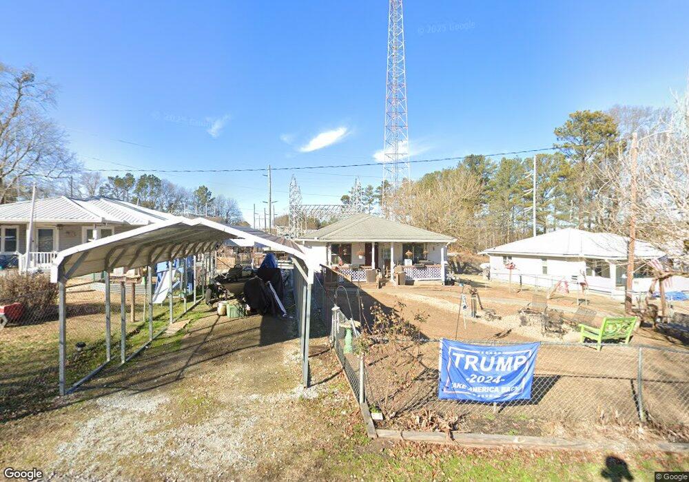
150 Benson Dr Dallas, GA 30132
Estimated Value: $196,000 - $265,000
2
Beds
1
Bath
900
Sq Ft
$266/Sq Ft
Est. Value
About This Home
This home is located at 150 Benson Dr, Dallas, GA 30132 and is currently estimated at $239,815, approximately $266 per square foot. 150 Benson Dr is a home located in Paulding County with nearby schools including Lillian C. Poole Elementary School, Herschel Jones Middle School, and Paulding County High School.
Ownership History
Date
Name
Owned For
Owner Type
Purchase Details
Closed on
Aug 18, 2015
Sold by
Chaney Loria Ann
Bought by
Chaney Jonathan David
Current Estimated Value
Purchase Details
Closed on
Jun 4, 2013
Sold by
Hall Gladys E
Bought by
Chaney Loria and Chaney David
Purchase Details
Closed on
May 29, 2013
Sold by
Chaney Gladys E Estate
Purchase Details
Closed on
Oct 15, 2007
Sold by
Bray Built Homes Inc
Bought by
Hall Gladys E
Create a Home Valuation Report for This Property
The Home Valuation Report is an in-depth analysis detailing your home's value as well as a comparison with similar homes in the area
Home Values in the Area
Average Home Value in this Area
Purchase History
| Date | Buyer | Sale Price | Title Company |
|---|---|---|---|
| Chaney Jonathan David | -- | -- | |
| Chaney Loria | $30,000 | -- | |
| -- | -- | -- | |
| Hall Gladys E | $80,000 | -- |
Source: Public Records
Tax History Compared to Growth
Tax History
| Year | Tax Paid | Tax Assessment Tax Assessment Total Assessment is a certain percentage of the fair market value that is determined by local assessors to be the total taxable value of land and additions on the property. | Land | Improvement |
|---|---|---|---|---|
| 2024 | $2,378 | $76,200 | $3,160 | $73,040 |
| 2023 | $2,195 | $72,600 | $3,040 | $69,560 |
| 2022 | $2,082 | $61,480 | $2,640 | $58,840 |
| 2021 | $1,550 | $45,760 | $2,120 | $43,640 |
| 2020 | $1,390 | $41,040 | $2,200 | $38,840 |
| 2019 | $1,243 | $36,240 | $3,720 | $32,520 |
| 2018 | $905 | $30,040 | $5,440 | $24,600 |
| 2017 | $843 | $27,600 | $5,440 | $22,160 |
| 2016 | $502 | $16,600 | $5,440 | $11,160 |
| 2015 | $502 | $16,320 | $5,440 | $10,880 |
| 2014 | $472 | $14,960 | $5,440 | $9,520 |
| 2013 | -- | $12,120 | $5,200 | $6,920 |
Source: Public Records
Map
Nearby Homes
- 107 Salem Place
- 0 Cole Lake Rd Unit 7651259
- 0 Cole Lake Rd Unit 10607141
- 1119 W Memorial Dr
- 60 Westside Cir
- 298 Buchanan Hwy
- 380 Buchanan Hwy
- +/-1.0 Cole Lake Rd
- 361 West Ave
- 1160 W Memorial Dr
- 119 Mcbee St
- 219 Briarwood Dr
- 217 Victory Dr
- 136 Rosewood Dr
- 216 Briarwood Dr Unit 3
- 109 Westwood Dr
- 120 Remington Place Blvd
- 47 Whitley Ct
- 200 Polk Ave
- 102 Natalie Ct