150 Bird Ln Kunkletown, PA 18058
Estimated Value: $244,000 - $309,000
3
Beds
2
Baths
1,248
Sq Ft
$221/Sq Ft
Est. Value
About This Home
This home is located at 150 Bird Ln, Kunkletown, PA 18058 and is currently estimated at $275,489, approximately $220 per square foot. 150 Bird Ln is a home located in Monroe County with nearby schools including Pleasant Valley Elementary School, Pleasant Valley Intermediate School, and Pleasant Valley Middle School.
Ownership History
Date
Name
Owned For
Owner Type
Purchase Details
Closed on
May 20, 2013
Sold by
Wray Gregory B and Wray Cindy L
Bought by
Horney Bridgette N
Current Estimated Value
Home Financials for this Owner
Home Financials are based on the most recent Mortgage that was taken out on this home.
Original Mortgage
$75,600
Outstanding Balance
$50,514
Interest Rate
2.25%
Mortgage Type
FHA
Estimated Equity
$224,975
Create a Home Valuation Report for This Property
The Home Valuation Report is an in-depth analysis detailing your home's value as well as a comparison with similar homes in the area
Home Values in the Area
Average Home Value in this Area
Purchase History
| Date | Buyer | Sale Price | Title Company |
|---|---|---|---|
| Horney Bridgette N | $77,000 | None Available |
Source: Public Records
Mortgage History
| Date | Status | Borrower | Loan Amount |
|---|---|---|---|
| Open | Horney Bridgette N | $75,600 |
Source: Public Records
Tax History Compared to Growth
Tax History
| Year | Tax Paid | Tax Assessment Tax Assessment Total Assessment is a certain percentage of the fair market value that is determined by local assessors to be the total taxable value of land and additions on the property. | Land | Improvement |
|---|---|---|---|---|
| 2025 | $870 | $137,300 | $18,790 | $118,510 |
| 2024 | $631 | $137,300 | $18,790 | $118,510 |
| 2023 | $3,911 | $137,300 | $18,790 | $118,510 |
| 2022 | $3,798 | $137,300 | $18,790 | $118,510 |
| 2021 | $3,711 | $137,300 | $18,790 | $118,510 |
| 2020 | $2,954 | $50,910 | $18,790 | $32,120 |
| 2019 | $2,207 | $13,000 | $2,250 | $10,750 |
| 2018 | $2,182 | $12,590 | $2,250 | $10,340 |
| 2017 | $2,182 | $12,590 | $2,250 | $10,340 |
| 2016 | $322 | $12,590 | $2,250 | $10,340 |
| 2015 | -- | $12,590 | $2,250 | $10,340 |
| 2014 | -- | $12,590 | $2,250 | $10,340 |
Source: Public Records
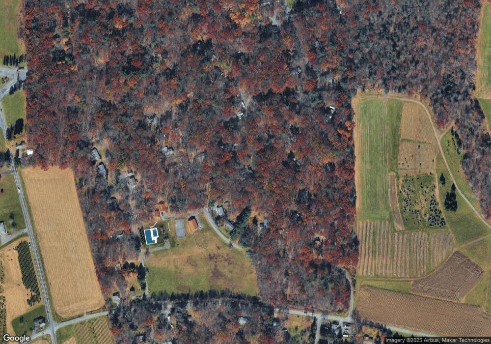
Map
Nearby Homes
- 117 Edgewood Ln
- 178 Ash Ln
- 196 Dogwood Ln
- 115 Gumwood Ln
- 0 Rd
- 1116 Dr
- 687 Dotters Corner Rd
- 217 Lower Valley Dr
- 500 Sumac Ct
- 924 Hell Hollow Rd
- W14 Greenwood Dr
- 3 Tioga Dr
- Lot K15 Lincoln Green Dr K15
- 115 Murphy Ln
- 1619 Sugar Ln
- 4167 Forest Dr
- 8743 Sherwood Dr
- 8749 W Kings Way
- R12 Robinhood Dr
- 9153 Robinhood Dr
- 501 & 502 Dogwood Ln
- 408 Dogwood Ln
- 4348 Rr 4
- 506 Beech Ln
- 403 Beech Ln
- 401 Beech Ln
- 123 Dogwood Ln
- 510 Edgewood Ln
- 111 Edgewood Ln
- 415 Chestnut Ln
- 127 Edgewood Ln
- 509 Edgewood Ln
- 507 Edgewood Ln
- 167 Bird Ln
- 109 Crabapple Ln
- 713 Dogwood Ln
- Lot 509 Edgewood Ln
- 0 Edgewood Ln
- 813 Edgewood Ln
- 118 Bird Ln