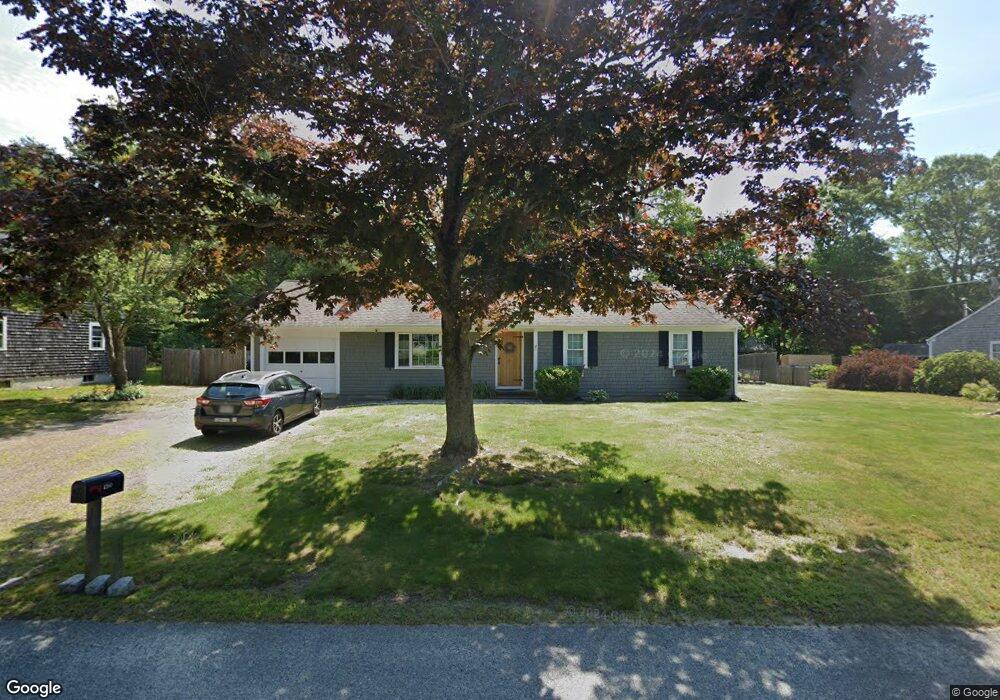
150 Buckskin Path Centerville, MA 02632
Centerville NeighborhoodEstimated Value: $539,000 - $620,000
3
Beds
1
Bath
1,001
Sq Ft
$565/Sq Ft
Est. Value
About This Home
This home is located at 150 Buckskin Path, Centerville, MA 02632 and is currently estimated at $566,058, approximately $565 per square foot. 150 Buckskin Path is a home located in Barnstable County with nearby schools including Centerville Elementary School, Barnstable United Elementary School, and Barnstable Intermediate School.
Ownership History
Date
Name
Owned For
Owner Type
Purchase Details
Closed on
Dec 1, 1993
Sold by
Ward Audrey F
Bought by
Lenahan Brian J
Current Estimated Value
Create a Home Valuation Report for This Property
The Home Valuation Report is an in-depth analysis detailing your home's value as well as a comparison with similar homes in the area
Home Values in the Area
Average Home Value in this Area
Purchase History
| Date | Buyer | Sale Price | Title Company |
|---|---|---|---|
| Lenahan Brian J | $90,000 | -- |
Source: Public Records
Mortgage History
| Date | Status | Borrower | Loan Amount |
|---|---|---|---|
| Open | Lenahan Brian J | $212,000 | |
| Closed | Lenahan Brian J | $20,000 |
Source: Public Records
Tax History
| Year | Tax Paid | Tax Assessment Tax Assessment Total Assessment is a certain percentage of the fair market value that is determined by local assessors to be the total taxable value of land and additions on the property. | Land | Improvement |
|---|---|---|---|---|
| 2025 | $3,692 | $456,400 | $152,200 | $304,200 |
| 2024 | $3,543 | $453,700 | $152,200 | $301,500 |
| 2023 | $3,348 | $401,400 | $138,400 | $263,000 |
| 2022 | $3,178 | $329,700 | $102,500 | $227,200 |
| 2021 | $3,039 | $289,700 | $102,500 | $187,200 |
| 2020 | $3,098 | $282,700 | $102,500 | $180,200 |
| 2019 | $2,963 | $262,700 | $102,500 | $160,200 |
| 2018 | $2,703 | $240,900 | $107,900 | $133,000 |
| 2017 | $2,526 | $234,800 | $107,900 | $126,900 |
| 2016 | $2,568 | $235,600 | $108,700 | $126,900 |
| 2015 | $2,494 | $229,900 | $105,400 | $124,500 |
Source: Public Records
Map
Nearby Homes
- 296 Buckskin Path
- 315 Prince Hinckley Rd
- 51 Larch Ln
- 900 Old Stage Rd
- 82 Yacht Club Rd
- 19 Marrick Ct
- 53 Meadow Farm Rd
- 52 Meadow Farm Rd
- 87 Foxglove Rd
- 200 Lumbert Mill Rd
- 103 Pine Tree Dr
- 66 Tern Ln
- 62 Three Ponds Dr
- 1028 Old Falmouth Rd
- 7 Ebenezer
- 324 Patriot Way
- 40 Sachem Dr
- 83 Lake Dr
- 156 S Main St
- 481 Lakeside Dr W
- 162 Buckskin Path
- 140 Buckskin Path
- 22 Rachel Carson Ln
- 151 Buckskin Path
- 25 Rachel Carson Ln
- 139 Buckskin Path
- 165 Buckskin Path
- 256 Stoney Cliff Rd
- 246 Stoney Cliff Rd
- 14 Rachel Carson Ln
- 274 Stoney Cliff Rd
- 180 Buckskin Path
- 21 Rachel Carson Ln
- 236 Stoney Cliff Rd
- 302 Skunknet Rd
- 292 Skunknet Rd
- 179 Buckskin Path
- 279 Monomoy Cir
- 2 Rachel Carson Ln
- 9 Rachel Carson Ln
Your Personal Tour Guide
Ask me questions while you tour the home.