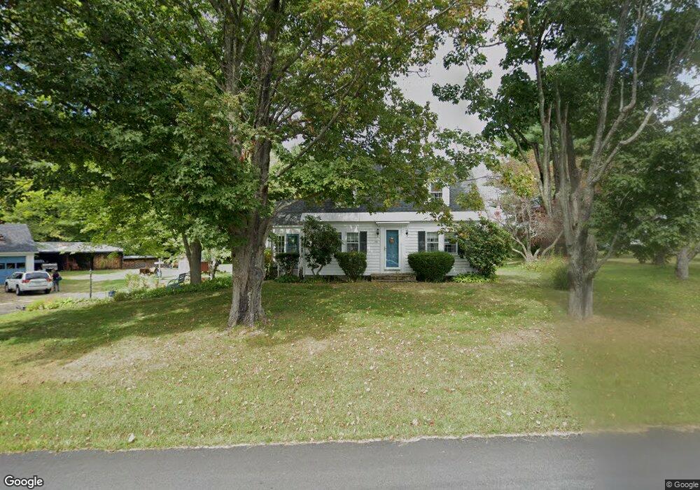
150 Cedar Rd Eliot, ME 03903
East Eliot NeighborhoodEstimated Value: $423,000 - $520,000
2
Beds
2
Baths
1,260
Sq Ft
$375/Sq Ft
Est. Value
About This Home
This home is located at 150 Cedar Rd, Eliot, ME 03903 and is currently estimated at $472,183, approximately $374 per square foot. 150 Cedar Rd is a home located in York County with nearby schools including Marshwood High School and Seacoast Waldorf School.
Ownership History
Date
Name
Owned For
Owner Type
Purchase Details
Closed on
Jan 28, 2022
Sold by
Raitt David W
Bought by
Fowler Ryan M and Fowler Jordan A
Current Estimated Value
Home Financials for this Owner
Home Financials are based on the most recent Mortgage that was taken out on this home.
Original Mortgage
$366,000
Outstanding Balance
$337,117
Interest Rate
3.22%
Mortgage Type
Purchase Money Mortgage
Estimated Equity
$135,066
Create a Home Valuation Report for This Property
The Home Valuation Report is an in-depth analysis detailing your home's value as well as a comparison with similar homes in the area
Home Values in the Area
Average Home Value in this Area
Purchase History
| Date | Buyer | Sale Price | Title Company |
|---|---|---|---|
| Fowler Ryan M | $280,500 | None Available |
Source: Public Records
Mortgage History
| Date | Status | Borrower | Loan Amount |
|---|---|---|---|
| Open | Fowler Ryan M | $366,000 |
Source: Public Records
Tax History Compared to Growth
Tax History
| Year | Tax Paid | Tax Assessment Tax Assessment Total Assessment is a certain percentage of the fair market value that is determined by local assessors to be the total taxable value of land and additions on the property. | Land | Improvement |
|---|---|---|---|---|
| 2024 | $3,684 | $310,900 | $155,100 | $155,800 |
| 2023 | $3,587 | $292,800 | $148,100 | $144,700 |
| 2022 | $3,475 | $287,200 | $148,100 | $139,100 |
| 2021 | $3,484 | $258,100 | $125,200 | $132,900 |
| 2020 | $3,219 | $243,700 | $119,800 | $123,900 |
| 2019 | $3,582 | $243,700 | $119,800 | $123,900 |
| 2018 | $3,582 | $243,700 | $119,800 | $123,900 |
| 2017 | $3,485 | $243,700 | $119,800 | $123,900 |
| 2016 | $3,424 | $243,700 | $119,800 | $123,900 |
| 2015 | $3,412 | $243,700 | $119,800 | $123,900 |
| 2014 | $3,363 | $243,700 | $119,800 | $123,900 |
| 2013 | $3,210 | $243,700 | $119,800 | $123,900 |
Source: Public Records
Map
Nearby Homes
- Lot 2 Cedar Tbd
- Lot 1 Cedar Tbd
- TBD Cedar Rd
- 34 Imperial Dr
- 16 Imperial Dr
- 25 Heritage Dr
- 19 Heritage Dr
- 10 Broadfields Rd
- 35 Marshwood Dr
- 1708 State Rd
- 18 Governor Hill Rd
- 82 Stacy Ln
- 708 River Rd Unit 3
- 708 River Rd Unit 2
- 25 Fosters Dr
- 25 Shore Ln
- 4 Shore Ln
- 0 Goodwin Rd Unit 1626810
- 126 Dover Point Rd
- Slip B18 Little Bay