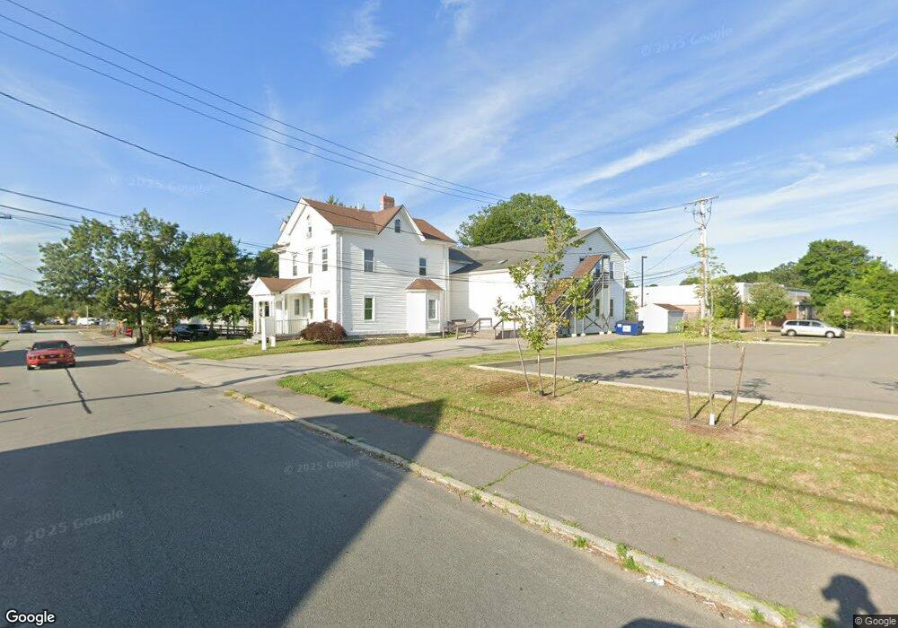
150 Cohannet St Taunton, MA 02780
Estimated Value: $551,526
5
Beds
3
Baths
8,660
Sq Ft
$64/Sq Ft
Est. Value
About This Home
This home is located at 150 Cohannet St, Taunton, MA 02780 and is currently priced at $551,526, approximately $63 per square foot. 150 Cohannet St is a home located in Bristol County with nearby schools including H. H. Galligan School, Taunton High School, and John F. Parker Middle School.
Ownership History
Date
Name
Owned For
Owner Type
Purchase Details
Closed on
Mar 24, 2009
Sold by
Main Cohannet Llc
Bought by
Northeastern Corp and Taun Portuguese Dsa Ch
Current Estimated Value
Home Financials for this Owner
Home Financials are based on the most recent Mortgage that was taken out on this home.
Original Mortgage
$204,000
Outstanding Balance
$130,539
Interest Rate
5.25%
Mortgage Type
Commercial
Create a Home Valuation Report for This Property
The Home Valuation Report is an in-depth analysis detailing your home's value as well as a comparison with similar homes in the area
Home Values in the Area
Average Home Value in this Area
Purchase History
| Date | Buyer | Sale Price | Title Company |
|---|---|---|---|
| Northeastern Corp | $255,000 | -- | |
| Northeastern Corp | $255,000 | -- |
Source: Public Records
Mortgage History
| Date | Status | Borrower | Loan Amount |
|---|---|---|---|
| Open | Northeastern Corp | $204,000 | |
| Closed | Northeastern Corp | $204,000 |
Source: Public Records
Tax History Compared to Growth
Tax History
| Year | Tax Paid | Tax Assessment Tax Assessment Total Assessment is a certain percentage of the fair market value that is determined by local assessors to be the total taxable value of land and additions on the property. | Land | Improvement |
|---|---|---|---|---|
| 2025 | -- | $834,100 | $112,600 | $721,500 |
| 2024 | -- | $737,900 | $112,600 | $625,300 |
| 2023 | $0 | $669,700 | $112,600 | $557,100 |
| 2022 | $0 | $520,600 | $93,800 | $426,800 |
| 2021 | $0 | $471,600 | $85,300 | $386,300 |
| 2020 | $0 | $427,300 | $85,300 | $342,000 |
| 2019 | $0 | $405,100 | $85,300 | $319,800 |
| 2018 | $0 | $410,000 | $86,200 | $323,800 |
| 2017 | $0 | $393,700 | $81,700 | $312,000 |
| 2016 | -- | $383,300 | $79,300 | $304,000 |
| 2015 | -- | $388,700 | $77,600 | $311,100 |
| 2014 | -- | $399,100 | $77,600 | $321,500 |
Source: Public Records
Map
Nearby Homes
- 46 Harrison St Unit 4
- 19 Mason St
- 278 Cohannet St
- 48 Taunton Green
- 98 Winthrop St
- 16 Clinton St
- 48 Oak St
- 39 Myrtle St
- 0, M64 L51 Knapp St
- 0 M64 L39 Knapp St
- 0, M64 L49 Knapp St
- 0, M64 L50 Knapp St
- 72 Barnum St
- 16 Kilton St
- 132 Winthrop St
- 5 Dean Ave
- 22 Everett St
- 215 High St Unit 21
- 215 High St Unit 20
- 26 Kilmer Ave
- 144 Cohannet St Unit 1
- 144 Cohannet St
- 144 Cohannet St Unit 2
- 155 Cohannet St
- 161 Cohannet St
- 57 Winthrop St
- 167 Cohannet St
- 63 Winthrop St Unit S C1&2
- 63 Winthrop St Unit A1
- 63 Winthrop St Unit 3
- 63 Winthrop St Unit C3
- 63 Winthrop St
- 63 Winthrop St Unit C1& C2
- 63 Winthrop St Unit C 1&2
- 63 Winthrop St Unit 2 & 3
- 63 Winthrop St Unit 2
- 1 Porter St
- 1 Porter St
- 111 High St
- 193 Cohannet St