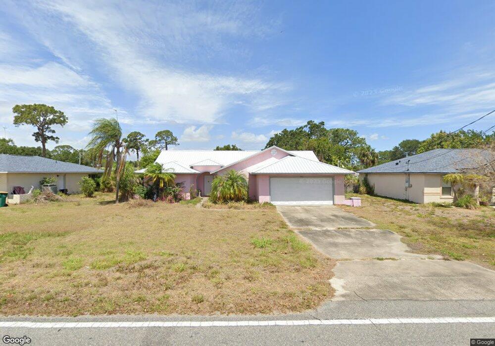
150 Cone Rd Merritt Island, FL 32952
Estimated Value: $308,000 - $340,000
3
Beds
2
Baths
1,517
Sq Ft
$212/Sq Ft
Est. Value
About This Home
This home is located at 150 Cone Rd, Merritt Island, FL 32952 and is currently estimated at $321,898, approximately $212 per square foot. 150 Cone Rd is a home located in Brevard County with nearby schools including Tropical Elementary School, Thomas Jefferson Middle School, and Merritt Island High School.
Ownership History
Date
Name
Owned For
Owner Type
Purchase Details
Closed on
Oct 26, 2011
Sold by
Aronson Matthew R and Aronson Jacquelyn L
Bought by
Omalley George B
Current Estimated Value
Purchase Details
Closed on
Jul 16, 2010
Sold by
Bryant William E and Bryant Grace R
Bought by
Aronson Matthew R and Aronson Jaquelyn L
Home Financials for this Owner
Home Financials are based on the most recent Mortgage that was taken out on this home.
Original Mortgage
$87,817
Interest Rate
4.73%
Create a Home Valuation Report for This Property
The Home Valuation Report is an in-depth analysis detailing your home's value as well as a comparison with similar homes in the area
Home Values in the Area
Average Home Value in this Area
Purchase History
| Date | Buyer | Sale Price | Title Company |
|---|---|---|---|
| Omalley George B | $96,500 | Liberty Title | |
| Aronson Matthew R | $89,000 | State Title Partners Llp |
Source: Public Records
Mortgage History
| Date | Status | Borrower | Loan Amount |
|---|---|---|---|
| Previous Owner | Aronson Matthew R | $87,817 |
Source: Public Records
Tax History Compared to Growth
Tax History
| Year | Tax Paid | Tax Assessment Tax Assessment Total Assessment is a certain percentage of the fair market value that is determined by local assessors to be the total taxable value of land and additions on the property. | Land | Improvement |
|---|---|---|---|---|
| 2025 | $1,500 | $113,280 | -- | -- |
| 2024 | $1,467 | $110,090 | -- | -- |
| 2023 | $1,467 | $106,890 | $0 | $0 |
| 2022 | $1,365 | $103,780 | $0 | $0 |
| 2021 | $1,381 | $100,760 | $0 | $0 |
| 2020 | $1,320 | $99,370 | $0 | $0 |
| 2019 | $1,257 | $97,140 | $0 | $0 |
| 2018 | $1,248 | $95,330 | $0 | $0 |
| 2017 | $1,241 | $93,370 | $0 | $0 |
| 2016 | $1,245 | $91,450 | $24,000 | $67,450 |
| 2015 | $1,262 | $90,820 | $24,000 | $66,820 |
| 2014 | $1,264 | $90,100 | $24,000 | $66,100 |
Source: Public Records
Map
Nearby Homes
- 95 Peck Ave
- 476 Nancie Ave
- 90 S Tropical Way
- 66 Moore Ave
- 489 Kennwood Ave
- 115 Carib Dr
- 140 Brandy Ln
- 3190 S Courtenay Pkwy
- 185 Moore Ave
- 180 Brandy Ln
- 327 S Tropical Trail
- 30 Victoria St
- 220 Bel Aire Dr S
- 106 Victoria St
- 270 W Lauren Ct
- 225 S Tropical Trail Unit 423
- 225 S Tropical Trail Unit 414
- 225 S Tropical Trail Unit 607
- 280 Andros Dr
- 230 Andros Dr