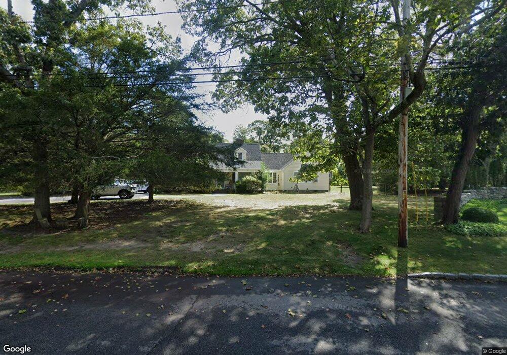
150 Dock Rd East Islip, NY 11730
Estimated Value: $769,589 - $1,193,000
--
Bed
--
Bath
--
Sq Ft
0.83
Acres
About This Home
This home is located at 150 Dock Rd, East Islip, NY 11730 and is currently estimated at $931,147. 150 Dock Rd is a home located in Suffolk County with nearby schools including John F. Kennedy Elementary School, East Islip Middle School, and East Islip High School.
Ownership History
Date
Name
Owned For
Owner Type
Purchase Details
Closed on
Oct 8, 2003
Sold by
Umbdenstock Peter A and Umbdenstock Glenda M
Bought by
Carolan Michael and Carolan Johanna
Current Estimated Value
Home Financials for this Owner
Home Financials are based on the most recent Mortgage that was taken out on this home.
Original Mortgage
$385,000
Outstanding Balance
$177,195
Interest Rate
6.01%
Mortgage Type
Purchase Money Mortgage
Estimated Equity
$753,952
Create a Home Valuation Report for This Property
The Home Valuation Report is an in-depth analysis detailing your home's value as well as a comparison with similar homes in the area
Home Values in the Area
Average Home Value in this Area
Purchase History
| Date | Buyer | Sale Price | Title Company |
|---|---|---|---|
| Carolan Michael | $550,000 | Fidelity National Title Ins |
Source: Public Records
Mortgage History
| Date | Status | Borrower | Loan Amount |
|---|---|---|---|
| Open | Carolan Michael | $385,000 |
Source: Public Records
Tax History Compared to Growth
Tax History
| Year | Tax Paid | Tax Assessment Tax Assessment Total Assessment is a certain percentage of the fair market value that is determined by local assessors to be the total taxable value of land and additions on the property. | Land | Improvement |
|---|---|---|---|---|
| 2024 | $14,860 | $50,700 | $18,600 | $32,100 |
| 2023 | $14,860 | $50,700 | $18,600 | $32,100 |
| 2022 | $13,584 | $50,700 | $18,600 | $32,100 |
| 2021 | $13,584 | $50,700 | $18,600 | $32,100 |
| 2020 | $14,496 | $50,700 | $18,600 | $32,100 |
| 2019 | $14,496 | $0 | $0 | $0 |
| 2018 | -- | $50,700 | $18,600 | $32,100 |
| 2017 | $13,221 | $50,700 | $18,600 | $32,100 |
| 2016 | $13,303 | $50,700 | $18,600 | $32,100 |
| 2015 | -- | $50,700 | $18,600 | $32,100 |
| 2014 | -- | $50,700 | $18,600 | $32,100 |
Source: Public Records
Map
Nearby Homes
- 300 Maple St
- 3 Lavender Ln
- 43 Hollins Ln
- 24 Brushwood Ct
- 110 Saint Marks Ln
- 116 Bayview Ave
- 59 Wingam Dr
- 14 Brian Dr
- 57 Wave Crest Dr
- 5 Sheep Pasture Ln
- 22 Brian Dr
- 24 Hollister Ln
- 82 the Helm
- 2449I Union Ave Unit 34A
- 11 Woodside Ave
- 11 Cranberry Dr
- 17 Somerset Ave
- 29 Irish Ln
- 136 the Helm
- 7 Sutton Place
- 8 Meadowfarm Rd
- 10 Meadowfarm Rd
- 18 Meadowfarm Rd
- 6 Meadowfarm Rd
- 23 Meadowfarm Rd
- 30 Meadowfarm Rd
- 9 Meadowfarm Rd
- 15 Meadowfarm Rd
- 3 Meadowfarm Rd
- 91 Percy Williams Dr
- 21 Meadowfarm Rd
- 40 Meadowfarm Rd
- 95 Percy Williams Dr
- 25 Meadowfarm Rd
- 170 Dock Rd
- 80 Percy Williams Dr
- 99 Percy Williams Dr
- 132 Dock Rd
- 90 Percy Williams Dr
- 85 Percy Williams Dr