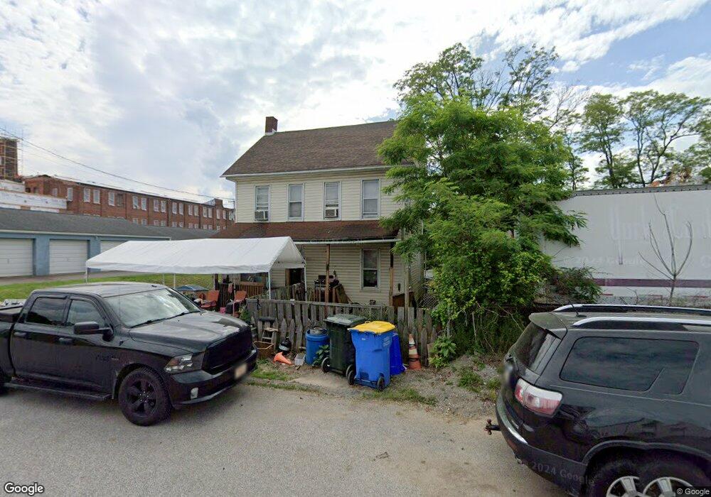
150 E Broad St Dallastown, PA 17313
Estimated Value: $189,000 - $204,000
2
Beds
2
Baths
1,344
Sq Ft
$146/Sq Ft
Est. Value
About This Home
This home is located at 150 E Broad St, Dallastown, PA 17313 and is currently estimated at $196,405, approximately $146 per square foot. 150 E Broad St is a home located in York County with nearby schools including Dallastown Elementary School, Dallastown Area Middle School, and Dallastown Area High School.
Ownership History
Date
Name
Owned For
Owner Type
Purchase Details
Closed on
Jun 5, 2001
Sold by
Bankers Trust Company
Bought by
Robinson William E and Robinson Tammy L
Current Estimated Value
Home Financials for this Owner
Home Financials are based on the most recent Mortgage that was taken out on this home.
Original Mortgage
$49,550
Outstanding Balance
$18,888
Interest Rate
7.15%
Mortgage Type
FHA
Estimated Equity
$177,517
Purchase Details
Closed on
Sep 5, 2000
Sold by
Backel Clarence W and Backel Odessa M
Bought by
Bankers Trust Company and Salomon Brothers Mtg Securities Vii Inc
Create a Home Valuation Report for This Property
The Home Valuation Report is an in-depth analysis detailing your home's value as well as a comparison with similar homes in the area
Home Values in the Area
Average Home Value in this Area
Purchase History
| Date | Buyer | Sale Price | Title Company |
|---|---|---|---|
| Robinson William E | $50,000 | -- | |
| Bankers Trust Company | $1,315 | -- |
Source: Public Records
Mortgage History
| Date | Status | Borrower | Loan Amount |
|---|---|---|---|
| Open | Robinson William E | $49,550 |
Source: Public Records
Tax History Compared to Growth
Tax History
| Year | Tax Paid | Tax Assessment Tax Assessment Total Assessment is a certain percentage of the fair market value that is determined by local assessors to be the total taxable value of land and additions on the property. | Land | Improvement |
|---|---|---|---|---|
| 2025 | $3,207 | $92,330 | $23,870 | $68,460 |
| 2024 | $3,207 | $92,330 | $23,870 | $68,460 |
| 2023 | $3,207 | $92,330 | $23,870 | $68,460 |
| 2022 | $3,105 | $92,330 | $23,870 | $68,460 |
| 2021 | $2,928 | $92,330 | $23,870 | $68,460 |
| 2020 | $2,928 | $92,330 | $23,870 | $68,460 |
| 2019 | $2,919 | $92,330 | $23,870 | $68,460 |
| 2018 | $2,919 | $92,330 | $23,870 | $68,460 |
| 2017 | $2,805 | $92,330 | $23,870 | $68,460 |
| 2016 | $0 | $92,330 | $23,870 | $68,460 |
| 2015 | -- | $92,330 | $23,870 | $68,460 |
| 2014 | -- | $92,330 | $23,870 | $68,460 |
Source: Public Records
Map
Nearby Homes
- 64 S Pleasant Ave
- 56 E Frederick St
- 122 S Pleasant Ave
- 74 S Main St
- 0 S Franklin St
- 355 W Main St
- 732 Blossom Hill Ln
- 106 Teila Dr
- 774 Blossom Hill Ln
- 428 W Main St
- 136 Teila Dr
- 2855 Springwood Rd
- 260 Country Ridge Dr
- 265 Winners Cir Unit 265
- 126 Country Ridge Dr
- 400 Carriage Ln Unit 400
- 156 Country Ridge Dr
- 0 Cape Horn Rd
- 211 Country Ridge Dr
- 131 Country Ridge Dr
- 101 E Broad St
- 100 E Broad St
- 132 N Lombard St
- 138 N Lombard St
- 249 E Maple St
- 17 E Broad St
- 20 E Broad St
- 140 N Lombard St
- 361 E Maple St
- 381 E Maple St
- 131 N Lombard St
- 16 E Broad St
- 137 N Lombard St
- 322 E King St
- 15 E Broad St
- 251 E Maple St
- 296 N Park St
- 247 E Maple St
- 351 E Maple St
- 245 E Maple St