150 Firethorne Trail Basking Ridge, NJ 07920
Estimated Value: $498,000 - $644,253
--
Bed
--
Bath
1,357
Sq Ft
$421/Sq Ft
Est. Value
About This Home
This home is located at 150 Firethorne Trail, Basking Ridge, NJ 07920 and is currently estimated at $571,813, approximately $421 per square foot. 150 Firethorne Trail is a home located in Somerset County with nearby schools including Liberty Corner Elementary School, William Annin Middle School, and Ridge High School.
Ownership History
Date
Name
Owned For
Owner Type
Purchase Details
Closed on
Aug 11, 1993
Sold by
Cedars Deve Corp
Bought by
Ayzenberg Vladimir and Ayzenberg Lyubov
Current Estimated Value
Home Financials for this Owner
Home Financials are based on the most recent Mortgage that was taken out on this home.
Original Mortgage
$139,000
Interest Rate
7.11%
Create a Home Valuation Report for This Property
The Home Valuation Report is an in-depth analysis detailing your home's value as well as a comparison with similar homes in the area
Home Values in the Area
Average Home Value in this Area
Purchase History
| Date | Buyer | Sale Price | Title Company |
|---|---|---|---|
| Ayzenberg Vladimir | $154,900 | -- |
Source: Public Records
Mortgage History
| Date | Status | Borrower | Loan Amount |
|---|---|---|---|
| Closed | Ayzenberg Vladimir | $139,000 |
Source: Public Records
Tax History Compared to Growth
Tax History
| Year | Tax Paid | Tax Assessment Tax Assessment Total Assessment is a certain percentage of the fair market value that is determined by local assessors to be the total taxable value of land and additions on the property. | Land | Improvement |
|---|---|---|---|---|
| 2025 | $8,274 | $556,300 | $175,000 | $381,300 |
| 2024 | $8,274 | $465,100 | $175,000 | $290,100 |
| 2023 | $8,542 | $452,900 | $175,000 | $277,900 |
| 2022 | $8,684 | $431,800 | $175,000 | $256,800 |
| 2021 | $8,170 | $387,200 | $175,000 | $212,200 |
| 2020 | $8,087 | $386,200 | $175,000 | $211,200 |
| 2019 | $7,680 | $377,600 | $175,000 | $202,600 |
| 2018 | $7,228 | $360,500 | $175,000 | $185,500 |
| 2017 | $7,246 | $364,300 | $175,000 | $189,300 |
| 2016 | $7,150 | $366,500 | $175,000 | $191,500 |
| 2015 | $6,968 | $363,700 | $170,000 | $193,700 |
| 2014 | $6,533 | $337,800 | $175,000 | $162,800 |
Source: Public Records
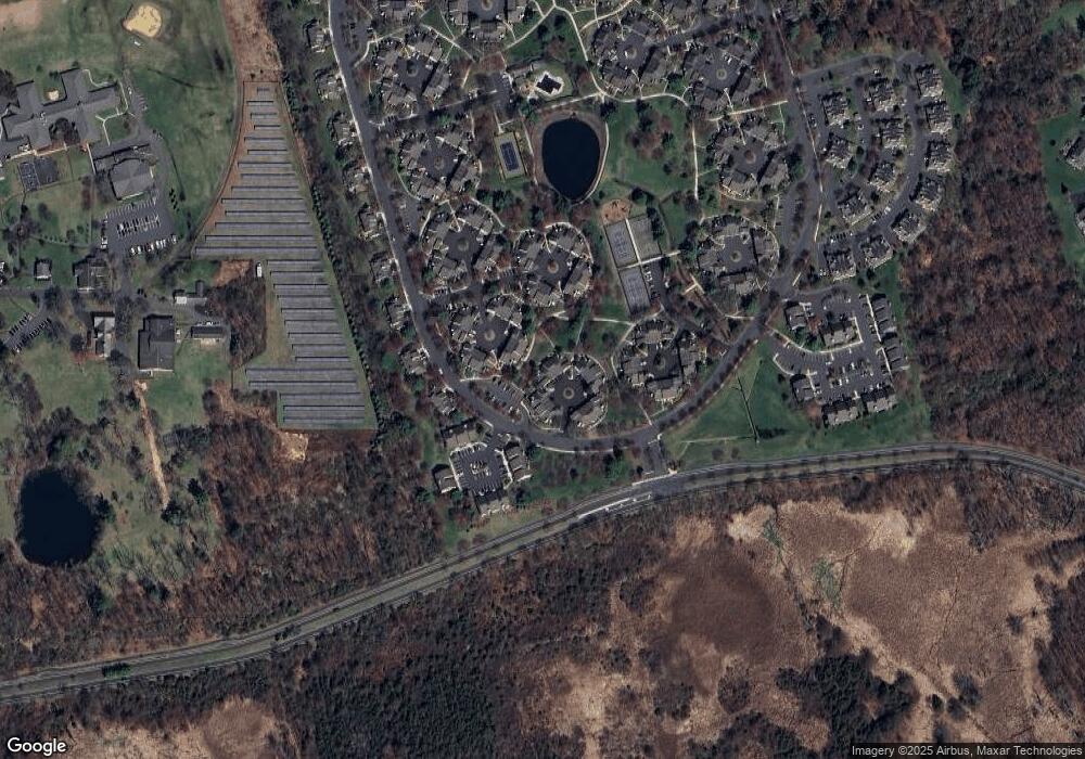
Map
Nearby Homes
- 227 Arrowood Way
- 2305 Privet Way
- 7 Chestnut Ct
- 242 Alexandria Way
- 23 Hampton Ct
- 138 Alexandria Way Condo Unit 138
- 67 Woodward Ln
- 279 English Place
- 1 Potomac Dr Condo
- 267 English Place
- 55 Potomac Dr
- 103 Potomac Dr
- 22 Woodward Ln
- 49 Alexandria Way Unit 5
- 14 Woodward Ln
- 71 Alexandria Way Unit 3
- 176 Potomac Dr
- 341 Penns Way Unit D2
- 21 Alexandria Way
- 168 Potomac Dr Condo Unit 168
- 151 Firethorne Trail
- 152 Firethorne Trail
- 149 Firethorne Trail
- 153 Firethorne Trail
- 167 Locust Ln
- 147 Firethorne Trail
- 169 Locust Ln
- 154 Firethorne Trail
- 146 Firethorne Trail
- 166 Locust Ln
- 155 Firethorne Trail
- 156 Firethorne Trail
- 170 Locust Ln
- 157 Firethorne Trail
- 161 Firethorne Trail
- 160 Firethorne Trail
- 171 Locust Ln
- 165 Locust Ln
- 158 Firethorne Trail
- 159 Firethorne Trail