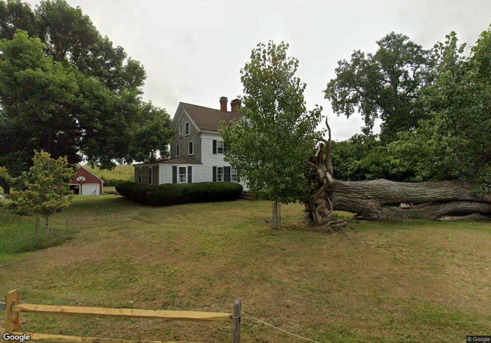
150 Fort Hill Rd Eastham, MA 02642
Estimated Value: $1,192,891 - $1,291,000
7
Beds
3
Baths
2,693
Sq Ft
$459/Sq Ft
Est. Value
About This Home
This home is located at 150 Fort Hill Rd, Eastham, MA 02642 and is currently estimated at $1,237,223, approximately $459 per square foot. 150 Fort Hill Rd is a home located in Barnstable County with nearby schools including Eastham Elementary School, Nauset Regional Middle School, and Nauset Regional High School.
Ownership History
Date
Name
Owned For
Owner Type
Purchase Details
Closed on
Aug 22, 2013
Sold by
Lingham Amy B and Burrill Jenny M
Bought by
Fort Hill Ft and Burrill Jenny M
Current Estimated Value
Purchase Details
Closed on
Jun 5, 1986
Bought by
Fort Hill Ft
Create a Home Valuation Report for This Property
The Home Valuation Report is an in-depth analysis detailing your home's value as well as a comparison with similar homes in the area
Home Values in the Area
Average Home Value in this Area
Purchase History
| Date | Buyer | Sale Price | Title Company |
|---|---|---|---|
| Fort Hill Ft | -- | -- | |
| Fort Hill Ft | -- | -- |
Source: Public Records
Mortgage History
| Date | Status | Borrower | Loan Amount |
|---|---|---|---|
| Previous Owner | Fort Hill Ft | $10,000 |
Source: Public Records
Tax History Compared to Growth
Tax History
| Year | Tax Paid | Tax Assessment Tax Assessment Total Assessment is a certain percentage of the fair market value that is determined by local assessors to be the total taxable value of land and additions on the property. | Land | Improvement |
|---|---|---|---|---|
| 2025 | $8,796 | $1,140,900 | $587,400 | $553,500 |
| 2024 | $7,767 | $1,108,000 | $570,200 | $537,800 |
| 2023 | $7,231 | $998,700 | $528,000 | $470,700 |
| 2022 | $7,081 | $825,300 | $471,400 | $353,900 |
| 2021 | $6,899 | $751,500 | $428,500 | $323,000 |
| 2020 | $815 | $740,400 | $437,300 | $303,100 |
| 2019 | $6,015 | $729,100 | $424,600 | $304,500 |
| 2018 | $5,915 | $708,400 | $412,300 | $296,100 |
| 2017 | $5,487 | $694,600 | $404,200 | $290,400 |
| 2016 | $5,129 | $689,400 | $404,200 | $285,200 |
| 2015 | $4,784 | $673,800 | $396,300 | $277,500 |
Source: Public Records
Map
Nearby Homes
- 1875 State Hwy
- 60 Smith Heights Way
- 1975 State Hwy Unit 1
- 1975 State Hwy Unit 3
- 1975 State Hwy Unit 5
- 30 Cove Rd
- 180 Country Ln
- 25 Twin Rocks Dr
- 330 Hay Rd
- 510 Hay Rd
- 46 Freeman Ln
- 993 Intonti Way
- 995 Intonti Way
- 6 Snow Way
- 20 Kittiwake Ln
- 785 State Hwy Unit 9
- 40 Northwest St
- 20 White Pines Dr
- 40 Rogers Ln
- 3 Bramblewood Ln
- 75 Fort Hill Rd
- 125 Mary Chase Rd
- 35 Governor Prence Rd
- 55 Mary Chase Rd
- 155 Mary Chase Rd
- 25 Governor Prence Rd
- 30 Governor Prence Rd
- 45 Governor Prence Rd Unit D
- 45 Governor Prence Rd Unit C
- 45 Governor Prence Rd Unit B
- 45 Governor Prence Rd Unit A
- 45 Governor Prence Rd
- 45 Governor Prence Rd Unit 3
- 175 Mary Chase Rd
- 215 Mary Chase Rd
- 55 Governor Prence Rd
- 120 Mary Chase Rd
- 40 Governor Prence Rd
- 90 Mary Chase Rd
- 160 Mary Chase Rd