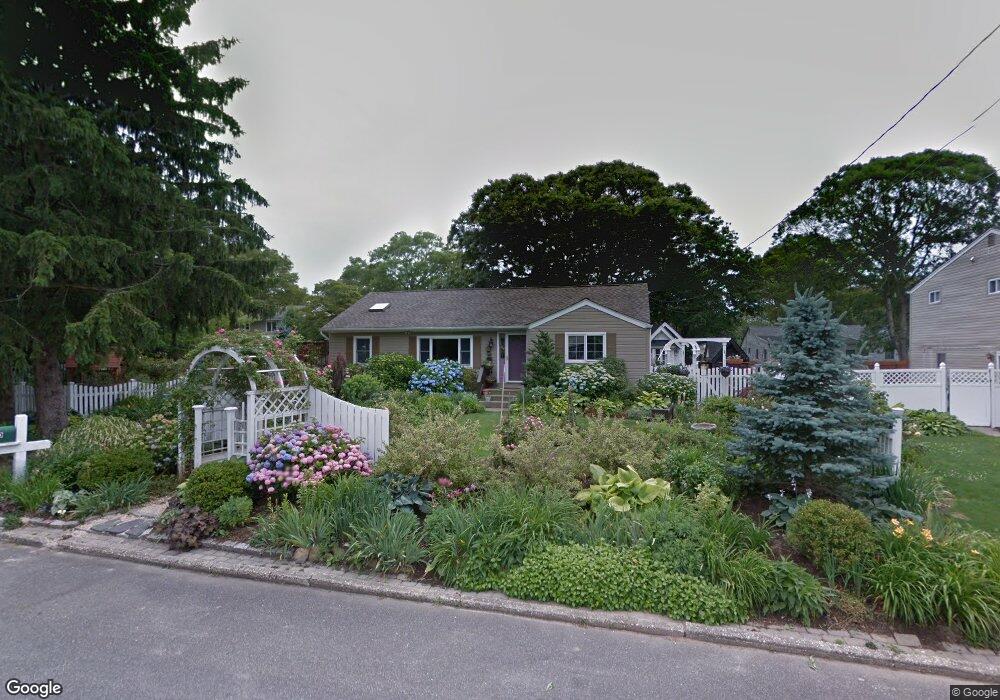
150 Grove St Port Jefferson Station, NY 11776
Estimated Value: $528,000 - $567,000
3
Beds
1
Bath
1,136
Sq Ft
$480/Sq Ft
Est. Value
About This Home
This home is located at 150 Grove St, Port Jefferson Station, NY 11776 and is currently estimated at $544,831, approximately $479 per square foot. 150 Grove St is a home located in Suffolk County with nearby schools including John F Kennedy Middle School and Comsewogue High School.
Ownership History
Date
Name
Owned For
Owner Type
Purchase Details
Closed on
Sep 22, 2016
Sold by
Pagano John A and Pagano Linda D
Bought by
Pagano Linda D
Current Estimated Value
Home Financials for this Owner
Home Financials are based on the most recent Mortgage that was taken out on this home.
Original Mortgage
$165,000
Outstanding Balance
$74,212
Interest Rate
2.74%
Mortgage Type
New Conventional
Estimated Equity
$470,619
Purchase Details
Closed on
Nov 3, 1997
Sold by
Christie James and Christie Linda
Bought by
Pagano John A and Pagano Linda D
Create a Home Valuation Report for This Property
The Home Valuation Report is an in-depth analysis detailing your home's value as well as a comparison with similar homes in the area
Home Values in the Area
Average Home Value in this Area
Purchase History
| Date | Buyer | Sale Price | Title Company |
|---|---|---|---|
| Pagano Linda D | -- | First Resource Title & Abstr | |
| Pagano John A | $128,500 | Chicago Title Insurance Co |
Source: Public Records
Mortgage History
| Date | Status | Borrower | Loan Amount |
|---|---|---|---|
| Open | Pagano Linda D | $165,000 |
Source: Public Records
Tax History Compared to Growth
Tax History
| Year | Tax Paid | Tax Assessment Tax Assessment Total Assessment is a certain percentage of the fair market value that is determined by local assessors to be the total taxable value of land and additions on the property. | Land | Improvement |
|---|---|---|---|---|
| 2024 | $9,777 | $2,525 | $200 | $2,325 |
| 2023 | $9,777 | $2,525 | $200 | $2,325 |
| 2022 | $8,592 | $2,525 | $200 | $2,325 |
| 2021 | $8,592 | $2,525 | $200 | $2,325 |
| 2020 | $8,818 | $2,525 | $200 | $2,325 |
| 2019 | $8,818 | $0 | $0 | $0 |
| 2018 | $8,386 | $2,525 | $200 | $2,325 |
| 2017 | $8,386 | $2,525 | $200 | $2,325 |
| 2016 | $7,867 | $2,400 | $200 | $2,200 |
| 2015 | -- | $2,400 | $200 | $2,200 |
| 2014 | -- | $2,400 | $200 | $2,200 |
Source: Public Records
Map
Nearby Homes
- 172 Norwood Ave
- 171 Minrol St
- 203 Sterling St
- 191 Bergen St
- 4 Forest Ave
- 1107 Sara Cir Unit "B"
- 1209 Sara Cir
- 16 Maryanne Ave
- 105 Commodore Cir
- 148 Captains Way
- 22 Washington Ave
- 26 Forest Ave
- 30 Yale St
- 460 Old Town Rd Unit 7G
- 460 Old Town Rd Unit 24E
- 460 Old Town Rd Unit 7K
- 460 Old Town Rd Unit 8H
- 460 Old Town Rd Unit 25L Upper Unit
- 460 Old Town Rd Unit 26P
- 460 Old Town Rd Unit 25M