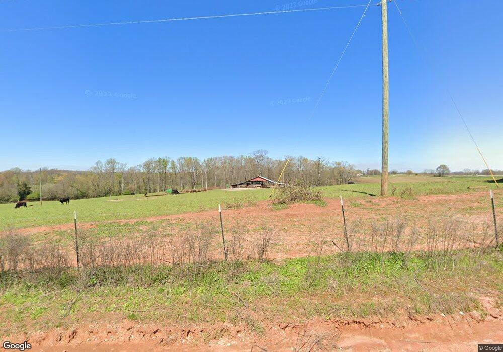
150 Guerry Hall Rd Carnesville, GA 30521
Estimated Value: $222,000 - $976,277
4
Beds
3
Baths
2,366
Sq Ft
$253/Sq Ft
Est. Value
About This Home
This home is located at 150 Guerry Hall Rd, Carnesville, GA 30521 and is currently estimated at $599,139, approximately $253 per square foot. 150 Guerry Hall Rd is a home located in Franklin County with nearby schools including Franklin County High School.
Ownership History
Date
Name
Owned For
Owner Type
Purchase Details
Closed on
Mar 26, 2024
Sold by
Hall Guerry
Bought by
Eavenson Wesley D
Current Estimated Value
Purchase Details
Closed on
Apr 16, 2002
Sold by
Hall Angela S
Bought by
Hall Guerry B
Purchase Details
Closed on
Jul 22, 1977
Bought by
Hall Guerry B
Create a Home Valuation Report for This Property
The Home Valuation Report is an in-depth analysis detailing your home's value as well as a comparison with similar homes in the area
Home Values in the Area
Average Home Value in this Area
Purchase History
| Date | Buyer | Sale Price | Title Company |
|---|---|---|---|
| Eavenson Wesley D | -- | -- | |
| Hall Guerry B | -- | -- | |
| Hall Guerry B | -- | -- |
Source: Public Records
Tax History Compared to Growth
Tax History
| Year | Tax Paid | Tax Assessment Tax Assessment Total Assessment is a certain percentage of the fair market value that is determined by local assessors to be the total taxable value of land and additions on the property. | Land | Improvement |
|---|---|---|---|---|
| 2025 | $3,501 | $427,151 | $324,444 | $102,707 |
| 2024 | $3,329 | $347,520 | $254,728 | $92,792 |
| 2023 | $3,383 | $317,189 | $231,569 | $85,620 |
| 2022 | $3,170 | $258,815 | $179,681 | $79,134 |
| 2021 | $3,071 | $250,116 | $179,681 | $70,435 |
| 2020 | $2,979 | $216,939 | $149,734 | $67,205 |
| 2019 | $2,846 | $216,939 | $149,734 | $67,205 |
| 2018 | $2,594 | $200,292 | $141,338 | $58,954 |
| 2017 | $2,488 | $193,974 | $141,338 | $52,636 |
| 2016 | $2,392 | $187,955 | $141,338 | $46,617 |
| 2015 | -- | $187,954 | $141,338 | $46,617 |
| 2014 | -- | $190,034 | $141,338 | $48,696 |
| 2013 | -- | $190,152 | $141,337 | $48,814 |
Source: Public Records
Map
Nearby Homes
- 775 Riverbend Rd
- 24 Tomlin Way
- 1020 Riverbend Rd
- 7527 Highway 326
- 689 Riverside Ct
- 166 Timberlane Dr
- 1000 Nails Creek Crossing
- 0 Varner Rd
- 161 Meadow Lake Dr
- 139 Meadow Lake Dr
- 41 Manley Terrace
- 9 Dons Ct
- 31 Dons Ct
- 2100 Westbrook Rd
- 731 Borders Rd
- 0 Nails Creek Crossing Unit 10584678
- 0 5 Points Rd
- 8065 Sandy Cross Rd
- 24302 Georgia 59
- 163 M t Trail
- 0 Guerry Hall Rd Hwy 326 Unit 2773398
- 0 Guerry Hall Rd Hwy 326 Unit 3233510
- 2475 Bold Springs Rd
- 326 Guerry Hall Rd
- 2616 Bold Springs Rd
- 2706 Bold Springs Rd
- 2558 Bold Springs Rd
- 2720 Bold Springs Rd
- 400 Martin Rd
- 900 Guerry Hall Rd
- 0 Guerry Hall Rd Unit 7495865
- 0 Guerry Hall Rd Unit 5574344
- 115 Madinah Rd
- 2930 Bold Springs Rd
- 1236 Guerry Hall Rd
- 1226 Guerry Hall Rd
- 0 Tomlin Way Unit 20109308
- 0 Tomlin Way Unit 7538355
- 0 Tomlin Way Unit 7200963
- 3067 Bold Springs Rd
