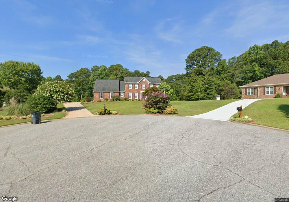
150 Hanover Cir Fayetteville, GA 30214
Estimated Value: $406,000 - $491,000
--
Bed
--
Bath
3,011
Sq Ft
$143/Sq Ft
Est. Value
About This Home
This home is located at 150 Hanover Cir, Fayetteville, GA 30214 and is currently estimated at $431,158, approximately $143 per square foot. 150 Hanover Cir is a home located in Fayette County with nearby schools including Bennett's Mill Middle School, Fayette County High School, and Rising Star Montessori School.
Ownership History
Date
Name
Owned For
Owner Type
Purchase Details
Closed on
Jan 6, 2017
Sold by
Humphrey David L
Bought by
Adams Derick D
Current Estimated Value
Home Financials for this Owner
Home Financials are based on the most recent Mortgage that was taken out on this home.
Original Mortgage
$228,779
Outstanding Balance
$187,175
Interest Rate
3.87%
Mortgage Type
FHA
Estimated Equity
$243,983
Create a Home Valuation Report for This Property
The Home Valuation Report is an in-depth analysis detailing your home's value as well as a comparison with similar homes in the area
Home Values in the Area
Average Home Value in this Area
Purchase History
| Date | Buyer | Sale Price | Title Company |
|---|---|---|---|
| Adams Derick D | $233,000 | -- | |
| Adams Derick D | $233,000 | -- |
Source: Public Records
Mortgage History
| Date | Status | Borrower | Loan Amount |
|---|---|---|---|
| Open | Adams Derick D | $228,779 | |
| Closed | Adams Derick D | $228,779 |
Source: Public Records
Tax History Compared to Growth
Tax History
| Year | Tax Paid | Tax Assessment Tax Assessment Total Assessment is a certain percentage of the fair market value that is determined by local assessors to be the total taxable value of land and additions on the property. | Land | Improvement |
|---|---|---|---|---|
| 2024 | $3,066 | $156,144 | $22,000 | $134,144 |
| 2023 | $2,669 | $149,640 | $22,000 | $127,640 |
| 2022 | $2,989 | $144,440 | $22,000 | $122,440 |
| 2021 | $2,655 | $107,440 | $22,000 | $85,440 |
| 2020 | $2,911 | $103,560 | $14,000 | $89,560 |
| 2019 | $2,603 | $91,720 | $14,000 | $77,720 |
| 2018 | $2,758 | $93,200 | $11,840 | $81,360 |
| 2017 | $2,394 | $84,520 | $12,000 | $72,520 |
| 2016 | $2,228 | $75,840 | $12,000 | $63,840 |
| 2015 | $1,908 | $63,960 | $12,000 | $51,960 |
| 2014 | $1,757 | $58,160 | $12,000 | $46,160 |
| 2013 | -- | $54,080 | $0 | $0 |
Source: Public Records
Map
Nearby Homes
- 190 Rolison Way
- 150 Rolison Way
- 235 Rolison Way
- 170 Liberty Dr
- 150 Bartow St Unit LOT 5
- 140 Bartow St Unit LOT 4
- 130 Reese St
- 140 Rolison Way
- 560 Hawthorne Dr
- 145 Heritage Way
- 230 White Rd
- 145 Woodsong Dr
- 0 Highway 92 N Unit 10594507
- 0 Highway 92 N Unit 7570733
- 585 Huddleston Rd
- 115 Westside Way
- 615 New Hope Rd
- 615 New Hope Rd Unit NO SUBDIVISION
- 220 Lang Dr
- E OF 118 Stanley Rd
- 140 Hanover Cir
- 165 Hanover Cir Unit 3
- 155 Hanover Cir
- 130 Hanover Cir
- 158 Hickory Rd
- 145 Hanover Cir
- 125 Hartford Place Unit 22
- 125 Hartford Place
- 120 Hanover Cir
- 250 Hickory Rd
- 157 Hickory Rd
- 260 Cedar Cir Unit 1
- 260 Cedar Cir
- 115 Hartford Place
- 135 Hanover Cir
- 163 Hickory Rd
- 168 Hickory Rd
- 370 Brandon Mill Cir
- 250 Cedar Cir