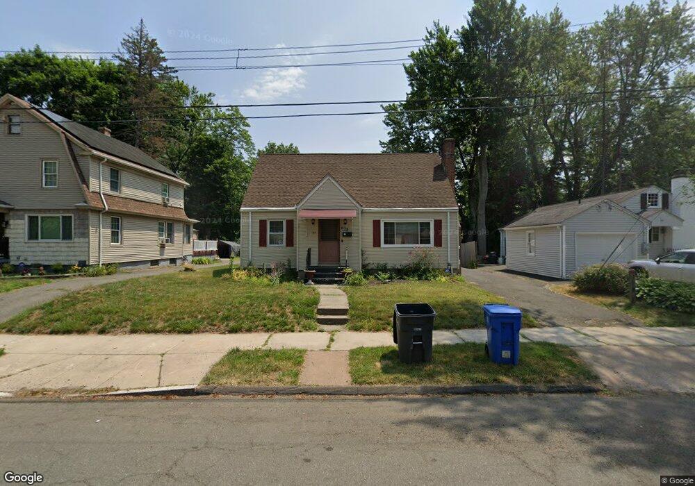
150 Hartland St Hartford, CT 06112
Blue Hills NeighborhoodEstimated Value: $260,000 - $332,000
3
Beds
3
Baths
1,182
Sq Ft
$245/Sq Ft
Est. Value
About This Home
This home is located at 150 Hartland St, Hartford, CT 06112 and is currently estimated at $289,212, approximately $244 per square foot. 150 Hartland St is a home located in Hartford County with nearby schools including Rawson School, Breakthrough Magnet School - North Campus, and West Middle School.
Ownership History
Date
Name
Owned For
Owner Type
Purchase Details
Closed on
Sep 6, 2011
Sold by
Seymour Madalene S
Bought by
Redding Chandra
Current Estimated Value
Home Financials for this Owner
Home Financials are based on the most recent Mortgage that was taken out on this home.
Original Mortgage
$116,958
Outstanding Balance
$80,791
Interest Rate
4.52%
Mortgage Type
Purchase Money Mortgage
Estimated Equity
$208,421
Create a Home Valuation Report for This Property
The Home Valuation Report is an in-depth analysis detailing your home's value as well as a comparison with similar homes in the area
Home Values in the Area
Average Home Value in this Area
Purchase History
| Date | Buyer | Sale Price | Title Company |
|---|---|---|---|
| Redding Chandra | $120,000 | -- |
Source: Public Records
Mortgage History
| Date | Status | Borrower | Loan Amount |
|---|---|---|---|
| Open | Redding Chandra | $116,958 | |
| Closed | Redding Chandra | $10,300 |
Source: Public Records
Tax History Compared to Growth
Tax History
| Year | Tax Paid | Tax Assessment Tax Assessment Total Assessment is a certain percentage of the fair market value that is determined by local assessors to be the total taxable value of land and additions on the property. | Land | Improvement |
|---|---|---|---|---|
| 2025 | $4,100 | $59,462 | $7,424 | $52,038 |
| 2024 | $4,100 | $59,462 | $7,424 | $52,038 |
| 2023 | $4,100 | $59,462 | $7,424 | $52,038 |
| 2022 | $4,100 | $59,462 | $7,424 | $52,038 |
| 2021 | $3,307 | $44,520 | $8,750 | $35,770 |
| 2020 | $3,307 | $44,520 | $8,750 | $35,770 |
| 2019 | $3,307 | $44,520 | $8,750 | $35,770 |
| 2018 | $3,196 | $43,019 | $8,455 | $34,564 |
| 2016 | $3,027 | $40,746 | $8,053 | $32,693 |
| 2015 | $3,027 | $38,810 | $7,670 | $31,140 |
| 2014 | $2,813 | $37,861 | $7,482 | $30,379 |
Source: Public Records
Map
Nearby Homes
- 86 Hartland St
- 70 Burnham St Unit 72
- 152 Burnham St
- 90 Manchester St
- 355 Cornwall St Unit 357
- 147 Morningside St W
- 179 Manchester St
- 11 Pershing St Unit 13
- 171 N Canaan St
- 180 Brookline Ave
- 125 Lebanon St Unit 127
- 10 Baltic St Unit 12
- 181 Westminster St
- 36 Baltic St Unit 38
- 218 Holcomb St Unit 220
- 211 Holcomb St Unit 213
- 97 E Burnham St
- 97 Boothbay St
- 157 Pembroke St Unit 159
- 67 Elizabeth Ave
- 146 Hartland St
- 154 Hartland St
- 144 Hartland St
- 160 Hartland St
- 164 Hartland St
- 130 Hartland St
- 479 Cornwall St
- 483 Cornwall St
- 145 Hartland St
- 487 Cornwall St
- 2 Simpson St
- 471 Cornwall St
- 141 Hartland St
- 491 Cornwall St
- 89 Harold St
- 85 Harold St Unit 87
- 95 Harold St
- 467 Cornwall St
- 83 Harold St
- 8 Simpson St