Estimated Value: $553,000 - $648,000
3
Beds
4
Baths
2,520
Sq Ft
$235/Sq Ft
Est. Value
About This Home
This home is located at 150 Highway Ff, Eolia, MO 63344 and is currently estimated at $592,566, approximately $235 per square foot. 150 Highway Ff is a home located in Lincoln County with nearby schools including Clopton Elementary School, Pike/Lincoln Technical Center, and Clopton High School.
Ownership History
Date
Name
Owned For
Owner Type
Purchase Details
Closed on
May 3, 2017
Sold by
French Charlotte J and Bruere John T
Bought by
Reuther Ryan W and Reuther Daniele M
Current Estimated Value
Home Financials for this Owner
Home Financials are based on the most recent Mortgage that was taken out on this home.
Original Mortgage
$237,600
Outstanding Balance
$183,834
Interest Rate
4.23%
Mortgage Type
Future Advance Clause Open End Mortgage
Estimated Equity
$408,732
Create a Home Valuation Report for This Property
The Home Valuation Report is an in-depth analysis detailing your home's value as well as a comparison with similar homes in the area
Purchase History
| Date | Buyer | Sale Price | Title Company |
|---|---|---|---|
| Reuther Ryan W | $297,023 | Ust |
Source: Public Records
Mortgage History
| Date | Status | Borrower | Loan Amount |
|---|---|---|---|
| Open | Reuther Ryan W | $237,600 |
Source: Public Records
Tax History
| Year | Tax Paid | Tax Assessment Tax Assessment Total Assessment is a certain percentage of the fair market value that is determined by local assessors to be the total taxable value of land and additions on the property. | Land | Improvement |
|---|---|---|---|---|
| 2025 | $2,193 | $38,416 | $5,580 | $32,836 |
| 2024 | $2,069 | $34,520 | $4,408 | $30,112 |
| 2023 | $2,063 | $36,104 | $5,428 | $30,676 |
| 2022 | $1,954 | $32,876 | $4,408 | $28,468 |
| 2021 | $1,965 | $161,544 | $0 | $0 |
| 2020 | $1,740 | $140,864 | $0 | $0 |
| 2019 | $1,742 | $140,864 | $0 | $0 |
| 2018 | $1,753 | $28,753 | $0 | $0 |
| 2017 | $1,678 | $27,451 | $0 | $0 |
| 2016 | $1,512 | $24,343 | $0 | $0 |
| 2015 | $1,547 | $24,343 | $0 | $0 |
| 2014 | $1,541 | $24,277 | $0 | $0 |
| 2013 | -- | $24,277 | $0 | $0 |
Source: Public Records
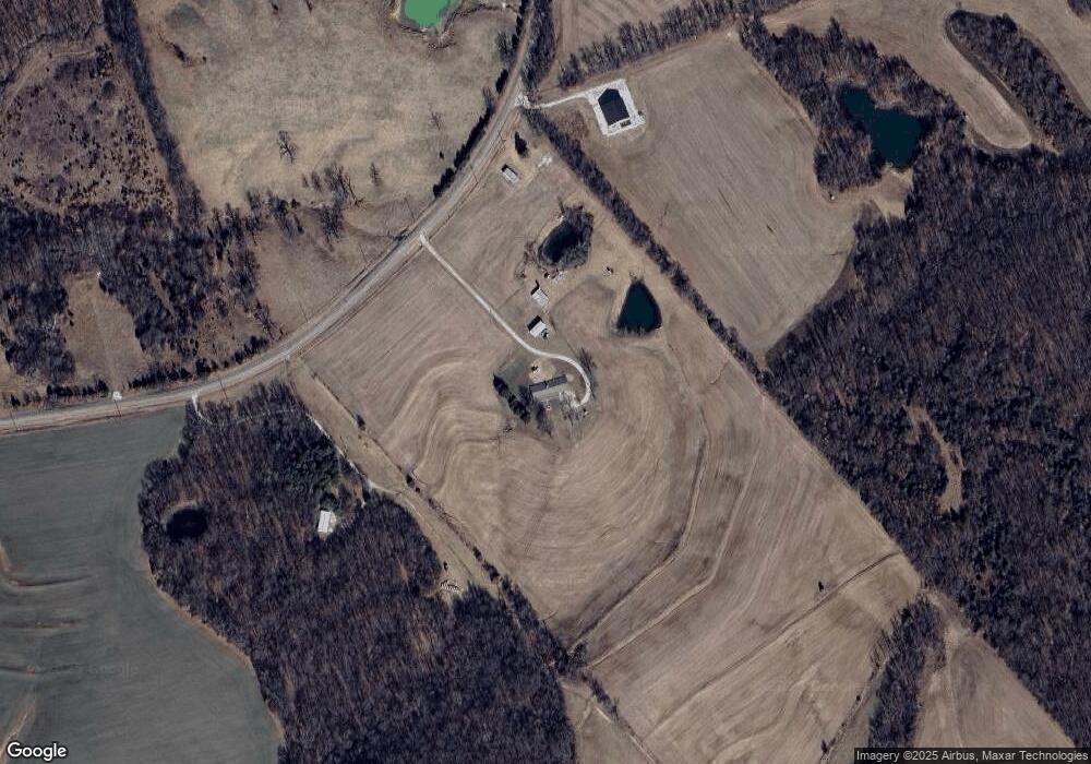
Map
Nearby Homes
- 207 Golden Ct
- 330 Timberline Ct Lot 5
- 335 Timberline Ct Lot 6
- 310 Morgan Meadows Ln
- 324 Timberline Ct Lot 4
- 329 Timberline Ct Lot 7
- 318 Timberline Ct Lot 3
- 312 Timberline Ct Lot 2
- 306 Timberline Ct Lot 1
- 120 Willow Ln
- 305 Timberline Ct Lot 11
- 214 College Cir
- 51 Fox Hollow Ln
- 612 N Main St
- 581 Highway Z
- 28 Ac + - Pike 224
- 0 Pike 224 Unit MAR25021843
- 144 Highway F
- 26321 Highway H
- 70 Whiteside Estates Dr
- 170 Highway Ff
- 0 72 Ac M L Hwy Ff
- 311 Highway Ff
- 30 Highway Ff
- 0 Welch Rd
- 229 Acres Highway D
- 0 4 23+ - Acres Morgan Ln Unit 10055882
- 11 Morgan + -Acres Ln
- 46 Eolia Acs
- 0 Cornerstone Farm Unit 10004619
- 54 Acres + -
- 46Acs Eolia
- 54+/- Acres
- 0 30 + - Acres Hwy Ff
- 0 225 Ac M L Morgan Ln
- 0 Morgan Lane (Tract 2)
- 0 13 035 Ac Ml Morgan Ln
- 10 Welch Rd
- 0 Morgan Lane (Tract 3 2)
- 0 Morgan Lane (Tract 3 1)
Your Personal Tour Guide
Ask me questions while you tour the home.