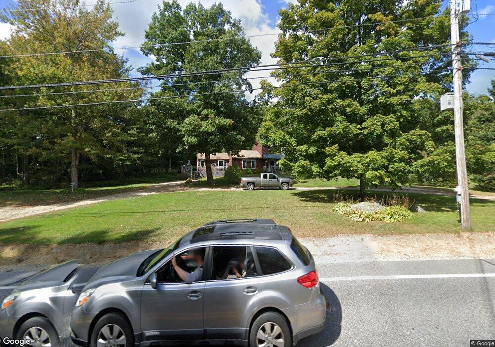
150 Lewiston Rd New Gloucester, ME 04260
Estimated Value: $362,000 - $435,610
3
Beds
3
Baths
572
Sq Ft
$688/Sq Ft
Est. Value
About This Home
This home is located at 150 Lewiston Rd, New Gloucester, ME 04260 and is currently estimated at $393,653, approximately $688 per square foot. 150 Lewiston Rd is a home located in Cumberland County with nearby schools including Gray-New Gloucester High School and Fiddlehead School of Arts & Science.
Ownership History
Date
Name
Owned For
Owner Type
Purchase Details
Closed on
Oct 17, 2013
Sold by
Leighton Beverly F
Bought by
Ramsdell Jessica L
Current Estimated Value
Create a Home Valuation Report for This Property
The Home Valuation Report is an in-depth analysis detailing your home's value as well as a comparison with similar homes in the area
Home Values in the Area
Average Home Value in this Area
Purchase History
| Date | Buyer | Sale Price | Title Company |
|---|---|---|---|
| Ramsdell Jessica L | -- | -- |
Source: Public Records
Tax History Compared to Growth
Tax History
| Year | Tax Paid | Tax Assessment Tax Assessment Total Assessment is a certain percentage of the fair market value that is determined by local assessors to be the total taxable value of land and additions on the property. | Land | Improvement |
|---|---|---|---|---|
| 2025 | $3,350 | $216,565 | $74,821 | $141,744 |
| 2024 | $3,225 | $216,565 | $74,821 | $141,744 |
| 2023 | $3,095 | $216,565 | $74,821 | $141,744 |
| 2022 | $2,989 | $216,565 | $74,821 | $141,744 |
| 2021 | $2,989 | $216,565 | $74,821 | $141,744 |
| 2020 | $2,875 | $210,592 | $68,848 | $141,744 |
| 2019 | $3,030 | $179,300 | $62,600 | $116,700 |
| 2018 | $2,833 | $179,300 | $62,600 | $116,700 |
| 2017 | $2,797 | $179,300 | $62,600 | $116,700 |
| 2016 | $2,636 | $179,300 | $62,600 | $116,700 |
| 2015 | $2,627 | $179,300 | $62,600 | $116,700 |
| 2014 | $2,600 | $179,300 | $62,600 | $116,700 |
| 2013 | $2,412 | $179,300 | $62,600 | $116,700 |
Source: Public Records
Map
Nearby Homes
- TBD Targett Rd
- 155 & 151 Gloucester Hill Rd
- 0018-C Gloucester Hill Rd
- 22 Shaw Rd
- 0 Mayall
- 271 Bennett Rd
- 160 Gloucester Hill Rd
- 343 Shaker Rd
- 10 Cobbs Bridge Rd
- 24 Swamp Rd
- 27 Callaway Dr Unit 27B
- 17 Callaway Dr Unit 17
- 136 Shaker Rd
- 1 Colley Hill Rd
- 4 Chelsey Ln
- 127 Shaker Rd Unit 61
- 22 Gray Park
- 2 Dr
- 164 Intervale Rd
- 25 Main St
- 0 Rt 100
- 3 Wabanaki Trail
- 132 Lewiston Rd
- 160 Lewiston Rd
- 148 Lewiston Rd
- 171 Lewiston Rd
- 163 Lewiston Rd
- 124 Lewiston Rd
- 178 Lewiston Rd
- 123 Lewiston Rd
- 66 Winston Way
- 21 Glendale Dr
- 32 Winston Way
- 86+ Skip'S& Winston Way
- 16 Jack Hall Rd
- 109 Lewiston Rd
- 26 Winston Way
- 25 Glendale Dr
- 27 Town Farm Rd