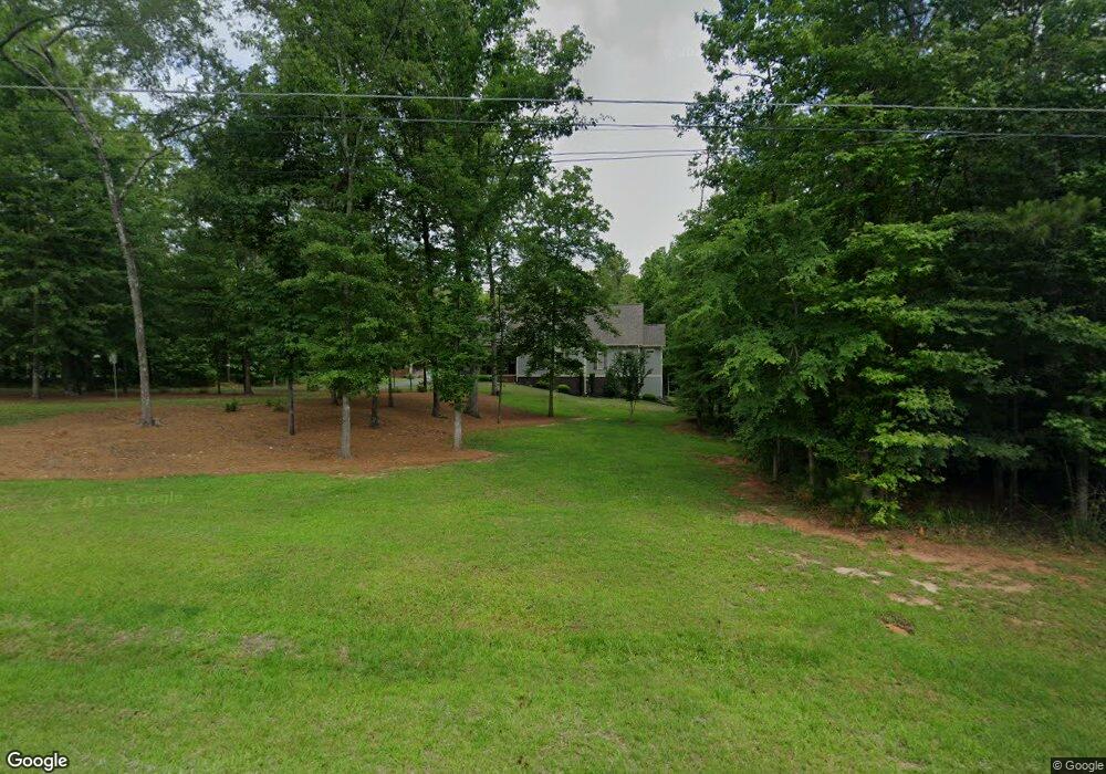
150 Loraine Forest Dr Macon, GA 31210
Estimated Value: $369,000 - $548,132
4
Beds
4
Baths
3,070
Sq Ft
$141/Sq Ft
Est. Value
About This Home
This home is located at 150 Loraine Forest Dr, Macon, GA 31210 and is currently estimated at $434,283, approximately $141 per square foot. 150 Loraine Forest Dr is a home with nearby schools including T.G. Scott Elementary School, Mary Persons High School, and St. Andrews Montessori School.
Ownership History
Date
Name
Owned For
Owner Type
Purchase Details
Closed on
Mar 31, 2017
Sold by
Smith Victoria Q
Bought by
Smith Victoria Q and Smith Bobby Lee
Current Estimated Value
Purchase Details
Closed on
Mar 13, 2015
Sold by
Pearce Jeanne B
Bought by
Smith Victoria Q
Purchase Details
Closed on
Mar 14, 2013
Sold by
Pearce Jeanne B
Bought by
Pearce Jeanne B
Purchase Details
Closed on
Jul 19, 1988
Sold by
Pearce Mickey E and Pearce Jeanne B
Bought by
Brown Joe Henry and Selma Reed Brown
Purchase Details
Closed on
Apr 16, 1985
Sold by
Blum Herbert B
Bought by
Pearce Mickey E and Jeanne Brown S
Create a Home Valuation Report for This Property
The Home Valuation Report is an in-depth analysis detailing your home's value as well as a comparison with similar homes in the area
Home Values in the Area
Average Home Value in this Area
Purchase History
| Date | Buyer | Sale Price | Title Company |
|---|---|---|---|
| Smith Victoria Q | -- | -- | |
| Smith Victoria Q | $38,000 | -- | |
| Pearce Jeanne B | -- | -- | |
| Brown Joe Henry | -- | -- | |
| Pearce Mickey E | $11,000 | -- |
Source: Public Records
Tax History Compared to Growth
Tax History
| Year | Tax Paid | Tax Assessment Tax Assessment Total Assessment is a certain percentage of the fair market value that is determined by local assessors to be the total taxable value of land and additions on the property. | Land | Improvement |
|---|---|---|---|---|
| 2024 | $3,835 | $148,240 | $24,000 | $124,240 |
| 2023 | $3,681 | $129,360 | $24,000 | $105,360 |
| 2022 | $3,177 | $129,360 | $24,000 | $105,360 |
| 2021 | $3,289 | $129,360 | $24,000 | $105,360 |
| 2020 | $3,372 | $129,360 | $24,000 | $105,360 |
| 2019 | $3,399 | $129,360 | $24,000 | $105,360 |
| 2018 | $3,213 | $122,600 | $24,000 | $98,600 |
| 2017 | $3,563 | $122,600 | $24,000 | $98,600 |
| 2016 | $420 | $20,880 | $20,880 | $0 |
| 2015 | $547 | $20,880 | $20,880 | $0 |
| 2014 | $607 | $24,000 | $24,000 | $0 |
Source: Public Records
Map
Nearby Homes
- 158 Loraine Forest Dr
- 140 Loraine Forest Dr
- 0 Loraine Forest Dr
- 161 Loraine Forest Dr
- 161 Loraine Forest Dr
- 170 Loraine Forest Dr
- 170 Loraine Forest Dr Unit 9A
- 170 Loraine Forest Dr
- 171 Loraine Forest Dr
- 205 Loraine Woods Dr
- 203 Loraine Woods Dr
- 207 Loraine Woods Dr
- 101 Loraine Forest Ct
- 130 Loraine Forest Dr
- 201 Loraine Woods Dr
- 200 Loraine Forest Dr
- 141 Loraine Forest Dr
- 120 Loraine Forest Dr
- 109 Loraine Woods Dr
- 103 Loraine Forest Ct