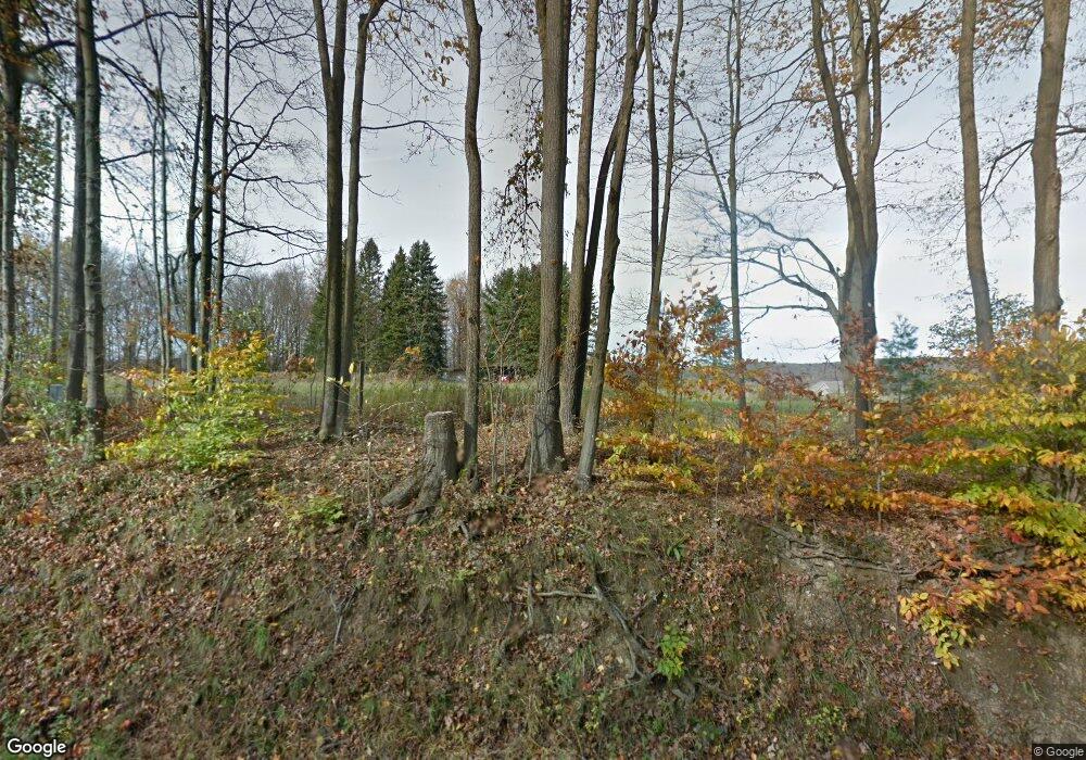
150 Maple St Sugar Grove, PA 16350
Estimated Value: $203,214 - $216,000
3
Beds
3
Baths
1,671
Sq Ft
$126/Sq Ft
Est. Value
About This Home
This home is located at 150 Maple St, Sugar Grove, PA 16350 and is currently estimated at $210,738, approximately $126 per square foot. 150 Maple St is a home located in Warren County with nearby schools including Eisenhower Elementary School, Eisenhower Middle/High School, and Railroad School.
Ownership History
Date
Name
Owned For
Owner Type
Purchase Details
Closed on
Oct 17, 2024
Sold by
Landin Peter D and Landin Elaine
Bought by
Hanson Karl N and Hanson Abagail A
Current Estimated Value
Purchase Details
Closed on
Dec 28, 2017
Sold by
Hughes Thomas W and Hughes Sandra L
Bought by
Hanson Karl N
Home Financials for this Owner
Home Financials are based on the most recent Mortgage that was taken out on this home.
Original Mortgage
$40,000
Interest Rate
3.94%
Mortgage Type
New Conventional
Purchase Details
Closed on
Sep 24, 2003
Bought by
Hughes Thomas and Karen Landin
Create a Home Valuation Report for This Property
The Home Valuation Report is an in-depth analysis detailing your home's value as well as a comparison with similar homes in the area
Home Values in the Area
Average Home Value in this Area
Purchase History
| Date | Buyer | Sale Price | Title Company |
|---|---|---|---|
| Hanson Karl N | $50,000 | None Listed On Document | |
| Hanson Karl N | $130,000 | Lafayette Settlement Svcs | |
| Hughes Thomas | -- | -- |
Source: Public Records
Mortgage History
| Date | Status | Borrower | Loan Amount |
|---|---|---|---|
| Previous Owner | Hanson Karl N | $40,000 |
Source: Public Records
Tax History Compared to Growth
Tax History
| Year | Tax Paid | Tax Assessment Tax Assessment Total Assessment is a certain percentage of the fair market value that is determined by local assessors to be the total taxable value of land and additions on the property. | Land | Improvement |
|---|---|---|---|---|
| 2024 | $2,341 | $32,592 | $4,051 | $28,541 |
| 2023 | $2,296 | $32,592 | $4,051 | $28,541 |
| 2022 | $2,649 | $32,592 | $4,051 | $28,541 |
| 2021 | $2,633 | $32,592 | $4,051 | $28,541 |
| 2020 | $2,633 | $32,592 | $4,051 | $28,541 |
| 2019 | $2,789 | $32,592 | $4,051 | $28,541 |
| 2018 | $2,625 | $32,592 | $4,051 | $28,541 |
| 2017 | $2,564 | $32,592 | $4,051 | $28,541 |
| 2016 | $2,499 | $32,592 | $0 | $0 |
| 2015 | -- | $32,592 | $0 | $0 |
| 2014 | -- | $32,592 | $0 | $0 |
| 2013 | -- | $32,592 | $4,051 | $28,541 |
Source: Public Records
Map
Nearby Homes
- Lot 28 Maple St St
- 12505 Jackson Run Rd
- 00 Busti Rd
- 265 Big Tree Sugar Grove Rd
- 4371 Lawson Rd
- 455 Creek Rd
- 0 Pine Ridge Vl Rd
- 0 Pine Ridge - Vl Rd
- 0 Mead Rd Unit R1624975
- 0 Washington St
- 00 Nutt Rd
- 3714 Mead Rd
- 878 - 884 - 888 - 89 Busti Sugar Grove Rd
- 0 Burton Rd Unit R1628359
- 0 Orr St
- 3710 Cowing Rd
- 2777 Matthews Run Rd
- 00 Indian Camp Run
- 2205 Indian Camp Run Rd
- 1520 Trask Rd
