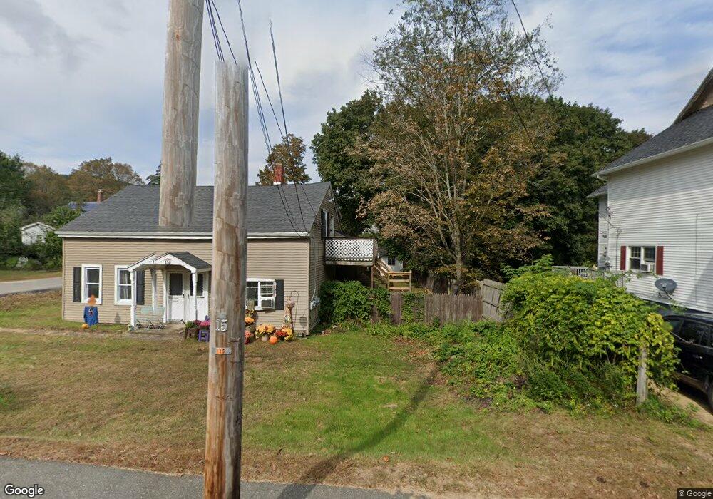
150 Maple St Warren, MA 01083
Estimated Value: $264,000 - $360,000
5
Beds
3
Baths
2,039
Sq Ft
$158/Sq Ft
Est. Value
About This Home
This home is located at 150 Maple St, Warren, MA 01083 and is currently estimated at $321,762, approximately $157 per square foot. 150 Maple St is a home with nearby schools including Quaboag Regional High School.
Ownership History
Date
Name
Owned For
Owner Type
Purchase Details
Closed on
May 5, 2023
Sold by
Burke Amy and Burke Jonathan
Bought by
Russell Joseph A
Current Estimated Value
Home Financials for this Owner
Home Financials are based on the most recent Mortgage that was taken out on this home.
Original Mortgage
$202,500
Outstanding Balance
$196,467
Interest Rate
6.42%
Mortgage Type
Purchase Money Mortgage
Estimated Equity
$125,295
Purchase Details
Closed on
Sep 27, 2019
Sold by
Burke Jonathan
Bought by
Burke Jonathan and Burke Amy
Home Financials for this Owner
Home Financials are based on the most recent Mortgage that was taken out on this home.
Original Mortgage
$18,904
Interest Rate
3.5%
Mortgage Type
Unknown
Purchase Details
Closed on
Dec 3, 1997
Sold by
Bernson Albert T and Country Bk Savings
Bought by
Dineen Bernard H and Dineen Patricia A
Create a Home Valuation Report for This Property
The Home Valuation Report is an in-depth analysis detailing your home's value as well as a comparison with similar homes in the area
Home Values in the Area
Average Home Value in this Area
Purchase History
| Date | Buyer | Sale Price | Title Company |
|---|---|---|---|
| Russell Joseph A | $270,000 | None Available | |
| Burke Jonathan | -- | -- | |
| Dineen Bernard H | $42,000 | -- |
Source: Public Records
Mortgage History
| Date | Status | Borrower | Loan Amount |
|---|---|---|---|
| Open | Russell Joseph A | $202,500 | |
| Previous Owner | Burke Jonathan | $18,904 | |
| Previous Owner | Burke Jonathan | $135,100 | |
| Previous Owner | Dineen Bernard H | $121,700 | |
| Previous Owner | Dineen Bernard H | $159,700 |
Source: Public Records
Tax History
| Year | Tax Paid | Tax Assessment Tax Assessment Total Assessment is a certain percentage of the fair market value that is determined by local assessors to be the total taxable value of land and additions on the property. | Land | Improvement |
|---|---|---|---|---|
| 2025 | $2,568 | $173,400 | $46,600 | $126,800 |
| 2024 | $2,613 | $173,400 | $46,600 | $126,800 |
| 2023 | $2,560 | $162,000 | $46,600 | $115,400 |
| 2022 | $2,220 | $142,700 | $38,300 | $104,400 |
| 2021 | $6,297 | $133,600 | $36,200 | $97,400 |
| 2020 | $2,167 | $126,300 | $36,200 | $90,100 |
| 2019 | $6,095 | $120,400 | $36,200 | $84,200 |
| 2018 | $6,063 | $116,800 | $36,200 | $80,600 |
| 2017 | $4,022 | $113,600 | $37,600 | $76,000 |
| 2016 | $2,157 | $108,700 | $35,900 | $72,800 |
| 2015 | $2,038 | $108,700 | $35,900 | $72,800 |
| 2014 | $2,076 | $108,700 | $35,900 | $72,800 |
Source: Public Records
Map
Nearby Homes
- 59 High St
- 233 Maple St
- 170 Bridge St
- 83 Comins Pond Rd
- Lot 4 Brimfield Rd
- 36 Nelson St
- Lot 8 Southbridge Rd
- LOT 7 Southbridge Rd
- Lot 5 Brimfield Rd
- Lot 3 Brimfield Rd
- 111 Quaboag St
- 17 Otis St
- 29 Liberty St
- 8 Otis St
- Lot 7 Reed St
- 366 Southbridge Rd
- 0 Town Farm Rd
- 352 Reed St
- 95 Town Farm Rd
- Lot 3C Crouch Rd
Your Personal Tour Guide
Ask me questions while you tour the home.