Estimated Value: $713,471 - $799,000
4
Beds
3
Baths
2,527
Sq Ft
$294/Sq Ft
Est. Value
About This Home
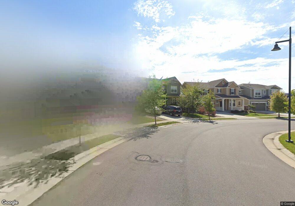
This home is located at 150 Maxwell Cir, Erie, CO 80516 and is currently estimated at $744,118, approximately $294 per square foot. 150 Maxwell Cir is a home located in Weld County with nearby schools including Red Hawk Elementary School, Erie Middle School, and Erie High School.
Ownership History
Date
Name
Owned For
Owner Type
Purchase Details
Closed on
Jun 9, 2023
Sold by
Andel Mark
Bought by
Neitenbach Jeffrey W and Neitenbach Lindsay D
Current Estimated Value
Home Financials for this Owner
Home Financials are based on the most recent Mortgage that was taken out on this home.
Original Mortgage
$553,600
Interest Rate
6.67%
Mortgage Type
New Conventional
Purchase Details
Closed on
Dec 19, 2013
Sold by
Meritage Homes Of Colorado
Bought by
Andel Mark
Home Financials for this Owner
Home Financials are based on the most recent Mortgage that was taken out on this home.
Original Mortgage
$357,815
Interest Rate
4.36%
Mortgage Type
FHA
Create a Home Valuation Report for This Property
The Home Valuation Report is an in-depth analysis detailing your home's value as well as a comparison with similar homes in the area
Home Values in the Area
Average Home Value in this Area
Purchase History
| Date | Buyer | Sale Price | Title Company |
|---|---|---|---|
| Neitenbach Jeffrey W | $692,000 | First American Title | |
| Andel Mark | $364,416 | None Available |
Source: Public Records
Mortgage History
| Date | Status | Borrower | Loan Amount |
|---|---|---|---|
| Previous Owner | Neitenbach Jeffrey W | $553,600 | |
| Previous Owner | Andel Mark | $357,815 |
Source: Public Records
Tax History Compared to Growth
Tax History
| Year | Tax Paid | Tax Assessment Tax Assessment Total Assessment is a certain percentage of the fair market value that is determined by local assessors to be the total taxable value of land and additions on the property. | Land | Improvement |
|---|---|---|---|---|
| 2025 | $7,487 | $42,380 | $8,750 | $33,630 |
| 2024 | $7,487 | $42,380 | $8,750 | $33,630 |
| 2023 | $7,289 | $47,790 | $10,420 | $37,370 |
| 2022 | $5,637 | $34,170 | $7,160 | $27,010 |
| 2021 | $5,715 | $35,140 | $7,360 | $27,780 |
| 2020 | $5,511 | $34,050 | $5,430 | $28,620 |
| 2019 | $5,545 | $34,050 | $5,430 | $28,620 |
| 2018 | $5,177 | $31,900 | $4,540 | $27,360 |
| 2017 | $5,081 | $31,900 | $4,540 | $27,360 |
| 2016 | $4,746 | $30,560 | $4,780 | $25,780 |
| 2015 | $4,650 | $30,560 | $4,780 | $25,780 |
| 2014 | $3,965 | $10,820 | $10,820 | $0 |
Source: Public Records
Map
Nearby Homes
- 195 Briggs St
- 360 Ambrose St
- 310 Ambrose St
- 390 Ambrose St
- 111 Ambrose St
- 173 Ambrose St
- 110 Ferris Ln
- 270 Holbrook St
- 420 Anderson St
- 410 Anderson St
- 0 County Line Rd and Maxwell Ave
- 365 Briggs St
- 555 Gallegos Cir
- 0 High St Unit REC9712912
- 0 Holbrook St
- 250 Holbrook St
- 626 Gallegos St
- 370 Lawley Dr
- 448 Biscuit St
- 448 Biscuit St Unit 1-23
- 148 Maxwell Cir
- 152 Maxwell Cir
- 146 Maxwell Cir
- 154 Maxwell Cir
- 153 Maxwell Cir
- 156 Maxwell Cir
- 151 Maxwell Cir
- 149 Maxwell Cir
- 158 Maxwell Cir
- 140 Maxwell Ave
- 160 Maxwell Cir
- 111 Westwood Way
- 121 Westwood Way
- 137 Maxwell Ave
- 131 Westwood Way
- 142 Maxwell Ave
- 21 S Briggs St
- 141 Westwood Way
- 162 Maxwell Cir
- 151 Westwood Dr