150 Mohawk Dr Westport, MA 02790
Estimated Value: $631,636 - $778,000
4
Beds
2
Baths
2,250
Sq Ft
$324/Sq Ft
Est. Value
About This Home
This home is located at 150 Mohawk Dr, Westport, MA 02790 and is currently estimated at $728,409, approximately $323 per square foot. 150 Mohawk Dr is a home with nearby schools including North End Elementary School, Talbot Innovation School, and B M C Durfee High School.
Ownership History
Date
Name
Owned For
Owner Type
Purchase Details
Closed on
Nov 24, 1992
Sold by
Martelly Roland J
Bought by
Dias Brian M and Dias Susan T
Current Estimated Value
Home Financials for this Owner
Home Financials are based on the most recent Mortgage that was taken out on this home.
Original Mortgage
$112,000
Interest Rate
7.95%
Mortgage Type
Purchase Money Mortgage
Create a Home Valuation Report for This Property
The Home Valuation Report is an in-depth analysis detailing your home's value as well as a comparison with similar homes in the area
Home Values in the Area
Average Home Value in this Area
Purchase History
| Date | Buyer | Sale Price | Title Company |
|---|---|---|---|
| Dias Brian M | $140,000 | -- |
Source: Public Records
Mortgage History
| Date | Status | Borrower | Loan Amount |
|---|---|---|---|
| Open | Dias Brian M | $87,000 | |
| Open | Dias Brian M | $180,000 | |
| Closed | Dias Brian M | $32,000 | |
| Closed | Dias Brian M | $112,000 |
Source: Public Records
Tax History
| Year | Tax Paid | Tax Assessment Tax Assessment Total Assessment is a certain percentage of the fair market value that is determined by local assessors to be the total taxable value of land and additions on the property. | Land | Improvement |
|---|---|---|---|---|
| 2025 | $5,813 | $507,700 | $157,500 | $350,200 |
| 2024 | $5,431 | $472,700 | $151,500 | $321,200 |
| 2023 | $5,514 | $449,400 | $144,200 | $305,200 |
| 2022 | $4,818 | $381,800 | $133,600 | $248,200 |
| 2021 | $4,697 | $339,600 | $133,300 | $206,300 |
| 2020 | $4,493 | $310,900 | $125,900 | $185,000 |
| 2019 | $4,323 | $296,500 | $123,600 | $172,900 |
| 2018 | $4,291 | $293,500 | $123,600 | $169,900 |
| 2017 | $4,018 | $287,000 | $120,000 | $167,000 |
| 2016 | $3,799 | $278,700 | $120,000 | $158,700 |
| 2015 | $3,686 | $281,800 | $120,000 | $161,800 |
| 2014 | $3,545 | $281,800 | $120,000 | $161,800 |
Source: Public Records
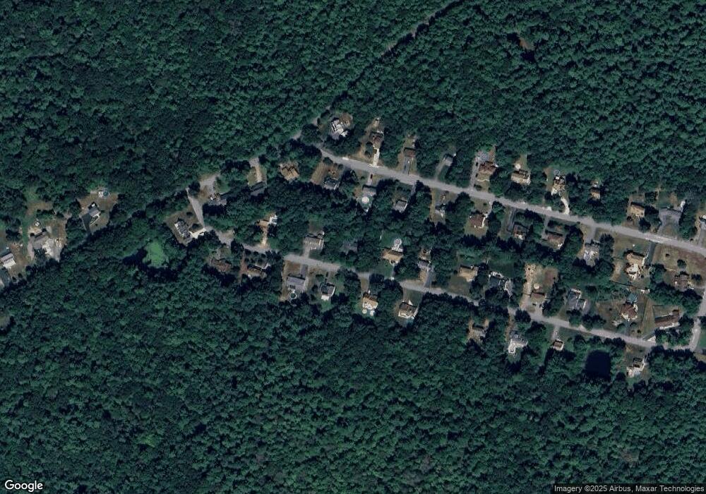
Map
Nearby Homes
- 23 Millers Dr
- 320-322 Old Bedford Rd
- 0 Bergeron Ln Unit 73483440
- 300 Davis Rd
- 343 Old Bedford Rd
- 1276 Old Fall River Rd
- 3 Diane Way
- 2 Donna Marie Dr
- 19 Charles Joseph Dr
- 128 Old Bedford Rd
- 1256 N Hixville Rd
- 1406 N Hixville Road Lot 2-1
- 60 Wingold St
- 168 Windsor St
- 36 Fordney St
- 201 Montgomery Cir
- 219 Earle St Unit 3
- 217 Earle St Unit 2
- 215 Earle St Unit 1
- 756 County St
- 182 Mohawk Dr
- 141 Mohawk Dr
- 816 Mohawk Dr
- 177 Mohawk Dr
- 884 Mohawk Dr
- 581 Indian Town Rd
- 81 Mohawk Dr
- 825 Mohawk Dr
- 551 Indian Town Rd
- 551 Indian Town Rd
- 248 Mohawk Dr
- 625 Indian Town Rd
- 720 Mohawk Dr
- 521 Indian Town Rd
- 727 Mohawk Rd
- 15 Mohawk Dr
- 690 Mohawk Dr
- 312 Mohawk Dr
- 648 Mohawk Dr
- 661 Mohawk Dr
Your Personal Tour Guide
Ask me questions while you tour the home.