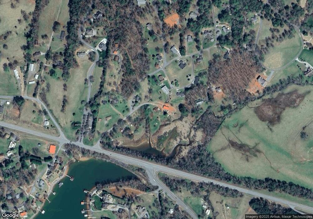
150 Nelson Rd Hayesville, NC 28904
Estimated Value: $86,550 - $232,000
3
Beds
2
Baths
1,116
Sq Ft
$130/Sq Ft
Est. Value
About This Home
This home is located at 150 Nelson Rd, Hayesville, NC 28904 and is currently estimated at $144,638, approximately $129 per square foot. 150 Nelson Rd is a home with nearby schools including Hayesville Elementary School, Hayesville Middle School, and Hayesville High School.
Ownership History
Date
Name
Owned For
Owner Type
Purchase Details
Closed on
Jul 26, 2022
Sold by
Edward Ellis
Bought by
Ellis Gary Stephen
Current Estimated Value
Purchase Details
Closed on
Nov 17, 2015
Sold by
Arrowood Amanda Lea and Carter Mickey
Bought by
Ellis Edward
Home Financials for this Owner
Home Financials are based on the most recent Mortgage that was taken out on this home.
Original Mortgage
$20,000
Interest Rate
3.78%
Mortgage Type
Purchase Money Mortgage
Purchase Details
Closed on
Jun 16, 2009
Sold by
Ellis Bobby G and Barrett Martha
Bought by
Arrowood Amanda Lea
Create a Home Valuation Report for This Property
The Home Valuation Report is an in-depth analysis detailing your home's value as well as a comparison with similar homes in the area
Home Values in the Area
Average Home Value in this Area
Purchase History
| Date | Buyer | Sale Price | Title Company |
|---|---|---|---|
| Ellis Gary Stephen | -- | Lipof & Nichols Pllc | |
| Ellis Edward | $40,000 | None Available | |
| Arrowood Amanda Lea | $70,000 | -- |
Source: Public Records
Mortgage History
| Date | Status | Borrower | Loan Amount |
|---|---|---|---|
| Previous Owner | Ellis Edward | $20,000 |
Source: Public Records
Tax History Compared to Growth
Tax History
| Year | Tax Paid | Tax Assessment Tax Assessment Total Assessment is a certain percentage of the fair market value that is determined by local assessors to be the total taxable value of land and additions on the property. | Land | Improvement |
|---|---|---|---|---|
| 2025 | $348 | $52,700 | $46,400 | $6,300 |
| 2024 | $348 | $52,700 | $46,400 | $6,300 |
| 2023 | $242 | $52,700 | $46,400 | $6,300 |
| 2022 | $242 | $52,700 | $46,400 | $6,300 |
| 2021 | $242 | $52,700 | $46,400 | $6,300 |
| 2020 | $242 | $52,700 | $46,400 | $6,300 |
| 2019 | $242 | $52,700 | $46,400 | $6,300 |
| 2018 | $242 | $52,700 | $46,400 | $6,300 |
| 2016 | -- | $71,920 | $57,330 | $14,590 |
| 2015 | -- | $71,920 | $57,330 | $14,590 |
| 2014 | -- | $71,920 | $57,330 | $14,590 |
Source: Public Records
Map
Nearby Homes
- Lot 59C Mountain Harbour Lot
- Lot #12E the Woodlands
- Lot 2E the Woodlands
- TBD Ash Knob Rd
- 65 Chatuge Village Dr
- Lot 69 Chatuge Village Dr
- 366 Licklog Ridge
- 85A Licklog Ridge
- 32A Licklog Ridge
- Lot 46A Licklog Ridge
- 74A Licklog Ridge
- Lot 1 E Licklog Ridge
- Lot 77A Licklog Ridge
- Lot 46A Licklog Ridge Unit 46A
- 1060 Chatuge Village Cir
- 184 Loganberry Ln
- 231 Dogwood Cir
- Lot 32 J Mountain Harbour Lot
- 154-5 Dogwood Cir
- Lot 12k Mountain Harbour
- 10 Deerbrook Dr
- 10 Deerbrook Dr
- 10 Deerbrook Dr
- 108 Nelson Rd
- 34 Deerbrook Cir
- 52 Deerbrook Cir
- 20 Deerbrook Cir
- LOT 9 Deer Brook Subdivision
- 79 Nelson Rd
- 66 Nelson Rd
- 33 Nelson Rd
- 68 Walnut Ln
- 117 Deerbrook Dr
- 5 Nelson Rd
- 88 Deerbrook Cir
- 154 Deerbrook Dr
- 1 Highway 175
- 1 N Carolina 175
- 1.94 N Carolina 175
- 159 Deerbrook Dr
