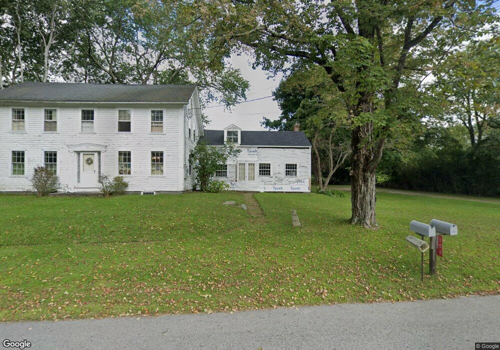
150 Northside Rd Charlton, MA 01507
Estimated Value: $525,000 - $576,000
3
Beds
2
Baths
2,099
Sq Ft
$260/Sq Ft
Est. Value
About This Home
This home is located at 150 Northside Rd, Charlton, MA 01507 and is currently estimated at $545,380, approximately $259 per square foot. 150 Northside Rd is a home located in Worcester County with nearby schools including Shepherd Hill Regional High School.
Ownership History
Date
Name
Owned For
Owner Type
Purchase Details
Closed on
Mar 26, 2024
Sold by
Paul R & J F Dowgiert Irt and Dowgiert
Bought by
Dowgiert Phillip A and Dowgiert Rebecca K
Current Estimated Value
Purchase Details
Closed on
Nov 8, 2010
Sold by
Dowgiert Paul R and Dowgiert Joan F
Bought by
Paul R R and Paul Joan F
Purchase Details
Closed on
Feb 6, 1963
Bought by
P R & J F Dowgiert Irt
Create a Home Valuation Report for This Property
The Home Valuation Report is an in-depth analysis detailing your home's value as well as a comparison with similar homes in the area
Home Values in the Area
Average Home Value in this Area
Purchase History
| Date | Buyer | Sale Price | Title Company |
|---|---|---|---|
| Dowgiert Phillip A | -- | None Available | |
| Dowgiert Phillip A | -- | None Available | |
| Paul R R | -- | -- | |
| Paul R R | -- | -- | |
| P R & J F Dowgiert Irt | -- | -- |
Source: Public Records
Tax History Compared to Growth
Tax History
| Year | Tax Paid | Tax Assessment Tax Assessment Total Assessment is a certain percentage of the fair market value that is determined by local assessors to be the total taxable value of land and additions on the property. | Land | Improvement |
|---|---|---|---|---|
| 2025 | $4,537 | $407,600 | $136,900 | $270,700 |
| 2024 | $4,429 | $390,600 | $134,700 | $255,900 |
| 2023 | $4,255 | $349,600 | $118,300 | $231,300 |
| 2022 | $3,983 | $299,700 | $106,000 | $193,700 |
| 2021 | $4,230 | $281,800 | $101,800 | $180,000 |
| 2020 | $4,165 | $278,800 | $98,800 | $180,000 |
| 2019 | $4,118 | $278,800 | $98,800 | $180,000 |
| 2018 | $3,764 | $278,800 | $98,800 | $180,000 |
| 2017 | $3,377 | $239,500 | $92,800 | $146,700 |
| 2016 | $3,300 | $239,500 | $92,800 | $146,700 |
| 2015 | $3,214 | $239,500 | $92,800 | $146,700 |
| 2014 | $2,995 | $236,600 | $89,900 | $146,700 |
Source: Public Records
Map
Nearby Homes
- 7 Little Muggett Rd
- 40 Carroll Hill Rd
- 7 Hycrest Rd
- 105 Carroll Hill Rd
- 8 Hycrest Rd
- 9 Knollwood Dr
- 199 Center Depot Rd
- 1 Deer Run
- 8 Northside Rd
- 18 Old Worcester Rd
- 39 Hycrest Rd
- 44 Hycrest Rd
- 25 N Main St Unit A
- 13 Boucher Dr
- 102 Worcester Rd
- 65 Old Spencer Rd
- 7 L Stevens Rd Unit A
- 7 L Stevens Rd Unit B
- 0 Oxbow Rd
- Lot 3 Smith Rd
- 149 Northside Rd
- 144 Northside Rd
- 250 Stafford St
- 250 Stafford St
- 264 Stafford St
- 250
- 139 Northside Rd
- 251 Stafford St
- 266 Stafford St
- 136 Northside Rd
- 268 Stafford St
- 270 Stafford St
- 265 Stafford St
- 245 Stafford St
- 243 Stafford St
- 272 Stafford St
- 79 Northside Rd
- 238 Stafford St
- 9 Cemetary Rd
- 278 Stafford St