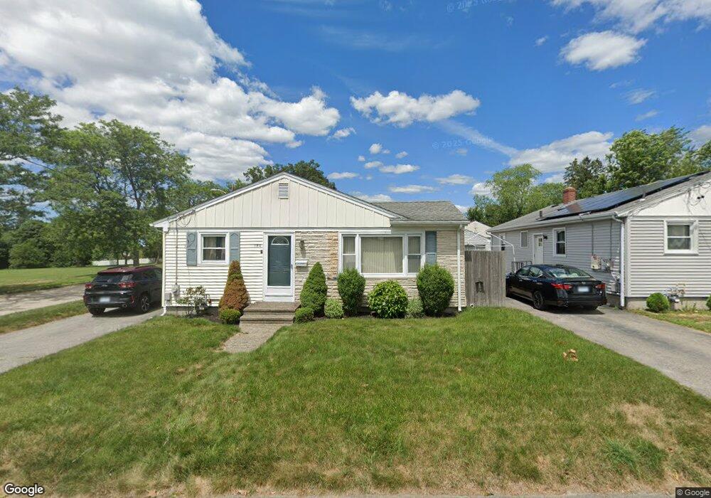
150 Norton St Riverside, RI 02915
Outer East Bay NeighborhoodEstimated Value: $392,381 - $432,000
3
Beds
1
Bath
1,124
Sq Ft
$370/Sq Ft
Est. Value
About This Home
This home is located at 150 Norton St, Riverside, RI 02915 and is currently estimated at $415,595, approximately $369 per square foot. 150 Norton St is a home located in Providence County with nearby schools including East Providence High School, The Gordon School, and St Mary Academy-Bay View.
Ownership History
Date
Name
Owned For
Owner Type
Purchase Details
Closed on
Sep 26, 2014
Sold by
Vaccaro Danielalbert and Vaccaro Diane C
Bought by
Mariodibitetto Anne and Sousa Arumindo B
Current Estimated Value
Home Financials for this Owner
Home Financials are based on the most recent Mortgage that was taken out on this home.
Original Mortgage
$50,000
Outstanding Balance
$38,139
Interest Rate
4.12%
Mortgage Type
New Conventional
Estimated Equity
$377,456
Purchase Details
Closed on
Mar 31, 2000
Sold by
Whitfield Thomas J and Whitfield Barbara
Bought by
Valcorba Steven M
Create a Home Valuation Report for This Property
The Home Valuation Report is an in-depth analysis detailing your home's value as well as a comparison with similar homes in the area
Home Values in the Area
Average Home Value in this Area
Purchase History
| Date | Buyer | Sale Price | Title Company |
|---|---|---|---|
| Mariodibitetto Anne | $215,000 | -- | |
| Valcorba Steven M | $112,000 | -- | |
| Valcorba Steven M | $112,000 | -- |
Source: Public Records
Mortgage History
| Date | Status | Borrower | Loan Amount |
|---|---|---|---|
| Open | Valcorba Steven M | $50,000 | |
| Previous Owner | Valcorba Steven M | $248,300 |
Source: Public Records
Tax History
| Year | Tax Paid | Tax Assessment Tax Assessment Total Assessment is a certain percentage of the fair market value that is determined by local assessors to be the total taxable value of land and additions on the property. | Land | Improvement |
|---|---|---|---|---|
| 2025 | $4,645 | $355,400 | $108,000 | $247,400 |
| 2024 | $4,693 | $306,100 | $90,000 | $216,100 |
| 2023 | $4,518 | $306,100 | $90,000 | $216,100 |
| 2022 | $4,479 | $204,900 | $54,400 | $150,500 |
| 2021 | $4,405 | $204,900 | $53,900 | $151,000 |
| 2020 | $4,219 | $204,900 | $53,900 | $151,000 |
| 2019 | $4,102 | $204,900 | $53,900 | $151,000 |
| 2018 | $3,842 | $167,900 | $47,100 | $120,800 |
| 2017 | $3,756 | $167,900 | $47,100 | $120,800 |
| 2016 | $3,737 | $167,900 | $47,100 | $120,800 |
| 2015 | $3,656 | $159,300 | $48,500 | $110,800 |
| 2014 | $3,656 | $159,300 | $48,500 | $110,800 |
Source: Public Records
Map
Nearby Homes
- 399 Brown St
- 210 Robinson St
- 50 Kettle Point Ave Unit 50
- 53 Wampanoag Trail
- 2941 Pawtucket Ave
- 74 Brookhaven Dr
- 29 Ide Ave
- 106 Wannamoisett Rd
- 1187 S Broadway
- 75 Belmont Ave
- 151 Dover Ave
- 14 Waterview Ave Unit 16
- 69 Hazelwood Ave
- 158 S Rose St
- 191 S Spruce St
- 26 Callender Ave
- 378 Juniper St
- 21 Donnelly St
- 60 Fraser St
- 25 Ingraham St
Your Personal Tour Guide
Ask me questions while you tour the home.