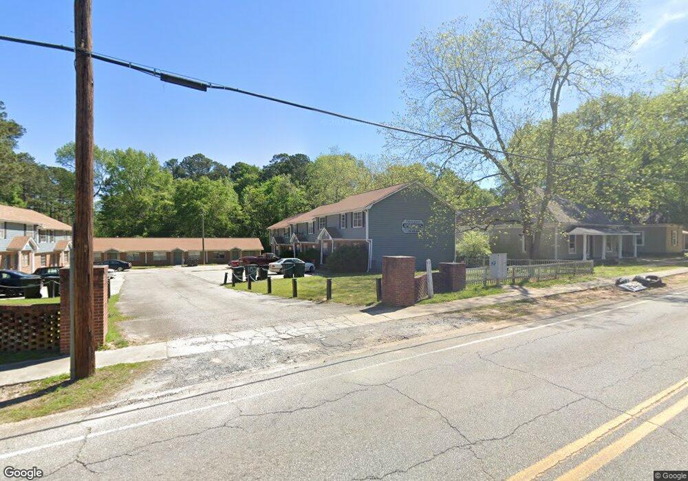
150 Olivia Way Unit LOT 17 Barnesville, GA 30204
Estimated Value: $351,767 - $532,000
3
Beds
2
Baths
1,800
Sq Ft
$227/Sq Ft
Est. Value
About This Home
This home is located at 150 Olivia Way Unit LOT 17, Barnesville, GA 30204 and is currently estimated at $409,192, approximately $227 per square foot. 150 Olivia Way Unit LOT 17 is a home located in Lamar County with nearby schools including Lamar County Primary School, Lamar County Elementary School, and Lamar County Middle School.
Ownership History
Date
Name
Owned For
Owner Type
Purchase Details
Closed on
Feb 23, 2022
Sold by
James Daniels Homes Inc
Bought by
Dobrin Jonathan G
Current Estimated Value
Home Financials for this Owner
Home Financials are based on the most recent Mortgage that was taken out on this home.
Original Mortgage
$248,821
Outstanding Balance
$231,224
Interest Rate
3.92%
Mortgage Type
Cash
Estimated Equity
$177,968
Purchase Details
Closed on
Dec 21, 2017
Sold by
Pmm Cole Forest Llc
Bought by
Accurate Development Inc
Create a Home Valuation Report for This Property
The Home Valuation Report is an in-depth analysis detailing your home's value as well as a comparison with similar homes in the area
Home Values in the Area
Average Home Value in this Area
Purchase History
| Date | Buyer | Sale Price | Title Company |
|---|---|---|---|
| Dobrin Jonathan G | $246,333 | -- | |
| James Daniels Homes Inc | -- | -- | |
| Accurate Development Inc | $276,000 | -- |
Source: Public Records
Mortgage History
| Date | Status | Borrower | Loan Amount |
|---|---|---|---|
| Open | James Daniels Homes Inc | $248,821 | |
| Closed | Dobrin Jonathan G | $248,821 |
Source: Public Records
Tax History Compared to Growth
Tax History
| Year | Tax Paid | Tax Assessment Tax Assessment Total Assessment is a certain percentage of the fair market value that is determined by local assessors to be the total taxable value of land and additions on the property. | Land | Improvement |
|---|---|---|---|---|
| 2025 | $2,728 | $131,834 | $10,000 | $121,834 |
| 2024 | $2,728 | $108,470 | $10,000 | $98,470 |
| 2023 | $2,970 | $109,475 | $10,000 | $99,475 |
| 2022 | $2,760 | $99,971 | $10,000 | $89,971 |
| 2021 | $135 | $4,500 | $4,500 | $0 |
| 2020 | $142 | $4,500 | $4,500 | $0 |
| 2019 | $127 | $4,000 | $4,000 | $0 |
| 2018 | $122 | $4,000 | $4,000 | $0 |
| 2017 | $121 | $4,000 | $4,000 | $0 |
| 2016 | $121 | $4,000 | $4,000 | $0 |
| 2015 | $121 | $4,000 | $4,000 | $0 |
| 2014 | $117 | $4,000 | $4,000 | $0 |
| 2013 | -- | $4,000 | $4,000 | $0 |
Source: Public Records
Map
Nearby Homes
- LOT 112 Cole Forest Blvd
- 277 Cole Forest Blvd
- 603 Silver Dollar Rd
- V L Silver Dollar Rd
- 218 City Pond Rd
- 127 Magnolia Trail
- 171 Meadowbrooke Dr
- 129 Magnolia Trail
- 160 Savannah Way
- 787 Silver Dollar Rd
- 128 Savannah Way
- 116 Moore St
- 0 Main St Unit 10586668
- 0 Main St Unit 10585681
- 118 Charleston Ln
- 117 Charleston Ln
- 654 Liberty Hill Rd
- 0 Silver Dollar Rd Unit 10552561
- LOT 2 Mathews Rd
- LOT 1 Mathews Rd
- 138 Olivia Way Unit LOT 18
- 235 Evergreen N
- 231 Evergreen N
- 132 Mylee Cove Unit Lot 30 Cole Forest
- 221 Evergreen N
- 218 Evergreen N
- 123 Olivia Way Unit LOT 99
- 215 Evergreen N
- 212 Evergreen N
- 119 Mylee Cove
- 119 Mylee Cove Unit lot 29 cole forest
- 115 Olivia Way Unit LOT 98
- 114 Mcginnis Glen
- 209 Evergreen N
- 206 Evergreen N
- 120 Mylee Cove Unit Lot 33 Cole Forest
- 112 Mcginnis Glen
- 115 Mcginnis Glen
- 112 Olivia Way
- 109 Olivia Way Unit LOT 97
