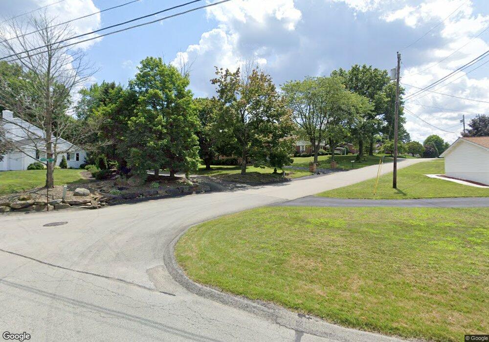
150 Pershing Cir Latrobe, PA 15650
Estimated Value: $274,000 - $373,000
Studio
--
Bath
--
Sq Ft
13,765
Sq Ft Lot
About This Home
This home is located at 150 Pershing Cir, Latrobe, PA 15650 and is currently estimated at $317,333. 150 Pershing Cir is a home located in Westmoreland County with nearby schools including Greater Latrobe Junior High School, Greater Latrobe Senior High School, and Christ the Divine Teacher School.
Ownership History
Date
Name
Owned For
Owner Type
Purchase Details
Closed on
Jan 31, 2003
Sold by
Smith Helen K and Smith Mary Margaret
Bought by
Stas Edward W and Stas Nancy M
Current Estimated Value
Create a Home Valuation Report for This Property
The Home Valuation Report is an in-depth analysis detailing your home's value as well as a comparison with similar homes in the area
Home Values in the Area
Average Home Value in this Area
Purchase History
| Date | Buyer | Sale Price | Title Company |
|---|---|---|---|
| Stas Edward W | $140,000 | -- |
Source: Public Records
Tax History
| Year | Tax Paid | Tax Assessment Tax Assessment Total Assessment is a certain percentage of the fair market value that is determined by local assessors to be the total taxable value of land and additions on the property. | Land | Improvement |
|---|---|---|---|---|
| 2026 | $3,500 | $28,760 | $4,180 | $24,580 |
| 2025 | $3,471 | $28,760 | $4,180 | $24,580 |
| 2024 | $3,471 | $28,760 | $4,180 | $24,580 |
| 2023 | $3,183 | $28,760 | $4,180 | $24,580 |
| 2022 | $3,183 | $28,760 | $4,180 | $24,580 |
| 2021 | $3,155 | $28,760 | $4,180 | $24,580 |
| 2020 | $3,104 | $28,760 | $4,180 | $24,580 |
| 2019 | $3,061 | $28,760 | $4,180 | $24,580 |
| 2018 | $3,047 | $28,760 | $4,180 | $24,580 |
| 2017 | $2,968 | $28,760 | $4,180 | $24,580 |
| 2016 | $696 | $28,760 | $4,180 | $24,580 |
| 2015 | -- | $28,760 | $4,180 | $24,580 |
| 2014 | -- | $28,760 | $4,180 | $24,580 |
Source: Public Records
Map
Nearby Homes
- Box 505 Arnold Palmer Dr
- 112 Alpen Strasse Dr
- 1590 Lois Rd Unit Lot 13 B
- 1302 Roger Drive Lot 55 B
- Lot 22 Spruce St
- 1630 Lois Rd Unit Lot 22 B
- 1618 Lois Road Lot 19 B
- RT 130-Bell Memorial
- 1305 Roger Drive Lot 51 A
- 00 Ritenour Ln & MacEy Rd
- 1062 Schultz Rd
- 1084 Schultz Rd
- 1601 Theatre St
- 632 Charles Houck Rd
- 105 Hemlock Dr
- 1213 Beech Dr
- 1108 B St
- 1285 Scenic Dr
- 34 Hemlock Dr
- 1113 B St
- 146 Pershing Cir
- 316 Gravel Hill Rd
- 308 Gravel Hill Rd
- 142 Pershing Cir
- 147 Pershing Cir
- 143 Pershing Cir
- 138 Pershing Cir
- 160 Arnold Palmer Dr
- 300 Gravel Hill Rd
- 520 Birchwood Ct
- 703 Cat Curve
- 516 Birchwood Dr
- 139 Pershing Cir
- 296 Gravel Hill Rd
- 512 Birchwood Dr
- 134 Pershing Cir
- 135 Pershing Cir
- 292 Gravel Hill Rd
- 508 Birchwood Dr
- 130 Pershing Cir
Your Personal Tour Guide
Ask me questions while you tour the home.