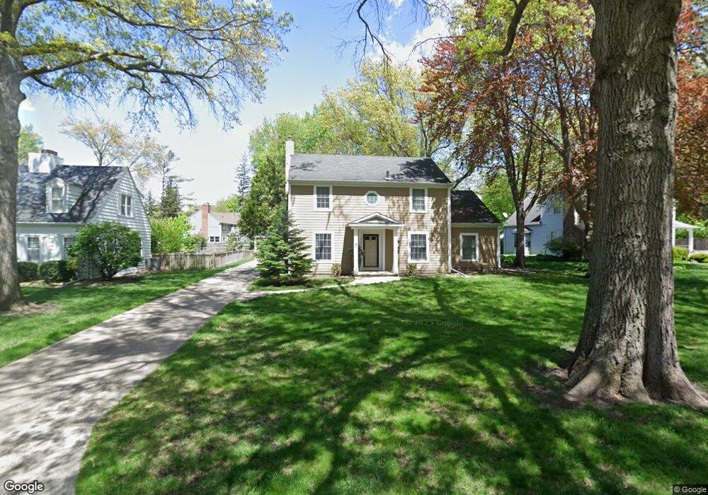
150 Pershing Rd Waterloo, IA 50701
Estimated Value: $290,927 - $400,000
3
Beds
3
Baths
2,388
Sq Ft
$141/Sq Ft
Est. Value
About This Home
This home is located at 150 Pershing Rd, Waterloo, IA 50701 and is currently estimated at $335,732, approximately $140 per square foot. 150 Pershing Rd is a home located in Black Hawk County with nearby schools including Kingsley Elementary School, Hoover Middle School, and West High School.
Ownership History
Date
Name
Owned For
Owner Type
Purchase Details
Closed on
Jul 3, 2013
Sold by
Young Michael R and Young Dorothy L
Bought by
Ludens Brent E
Current Estimated Value
Home Financials for this Owner
Home Financials are based on the most recent Mortgage that was taken out on this home.
Original Mortgage
$220,000
Outstanding Balance
$158,842
Interest Rate
3.83%
Mortgage Type
New Conventional
Estimated Equity
$176,890
Create a Home Valuation Report for This Property
The Home Valuation Report is an in-depth analysis detailing your home's value as well as a comparison with similar homes in the area
Purchase History
| Date | Buyer | Sale Price | Title Company |
|---|---|---|---|
| Ludens Brent E | $275,000 | Black Hawk County Abstract & |
Source: Public Records
Mortgage History
| Date | Status | Borrower | Loan Amount |
|---|---|---|---|
| Open | Ludens Brent E | $220,000 |
Source: Public Records
Tax History
| Year | Tax Paid | Tax Assessment Tax Assessment Total Assessment is a certain percentage of the fair market value that is determined by local assessors to be the total taxable value of land and additions on the property. | Land | Improvement |
|---|---|---|---|---|
| 2025 | $5,596 | $278,140 | $30,600 | $247,540 |
| 2024 | $5,596 | $268,190 | $30,600 | $237,590 |
| 2023 | $4,638 | $268,190 | $30,600 | $237,590 |
| 2022 | $4,514 | $220,080 | $30,600 | $189,480 |
| 2021 | $4,660 | $220,080 | $30,600 | $189,480 |
| 2020 | $4,580 | $214,340 | $24,860 | $189,480 |
| 2019 | $4,580 | $214,340 | $24,860 | $189,480 |
| 2018 | $4,584 | $214,340 | $24,860 | $189,480 |
| 2017 | $4,584 | $214,340 | $24,860 | $189,480 |
| 2016 | $4,862 | $214,340 | $24,860 | $189,480 |
| 2015 | $4,862 | $214,340 | $24,860 | $189,480 |
| 2014 | $4,726 | $204,370 | $24,860 | $179,510 |
Source: Public Records
Map
Nearby Homes
- 202 Byrnbrae St
- 263 Byrnbrae St
- 210 Ivanhoe Rd
- 660 Wilshire Ave
- Lot 10 Paradise Estates First Addition
- Lot 44 Paradise Estates First Addition
- Lot 29 Paradise Estates First Addition
- Lot 1
- Lot 27 Paradise Estates First Addition
- Lot 54 Paradise Estates First Addition
- Lot 63 Paradise Estates First Addition
- Lot 39 Paradise Estates First Addition
- Lot 42 Paradise Estates First Addition
- Lot 13 Paradise Estates First Addition
- Lot 41 Paradise Estates First Addition
- Lot 14 Paradise Estates First Addition
- Lot 61 Paradise Estates First Addition
- Lot 53 Paradise Estates First Addition
- Lot 55 Paradise Estates First Addition
- Lot 9 Paradise Estates First Addition
- 156 Pershing Rd
- 130 Pershing Rd
- 166 Pershing Rd
- 151 Pershing Rd
- 133 Pershing Rd
- 240 Berkshire Rd
- 157 Pershing Rd
- 228 Berkshire Rd
- 121 Pershing Rd
- 300 Sheridan Rd
- 180 Pershing Rd
- 224 Berkshire Rd
- 165 Pershing Rd
- 135 Pershing Rd
- 111 Pershing Rd
- 181 Pershing Rd
- 212 Berkshire Rd
- 237 Berkshire Rd
- 227 Berkshire Rd
- 350 Sheridan Rd
Your Personal Tour Guide
Ask me questions while you tour the home.