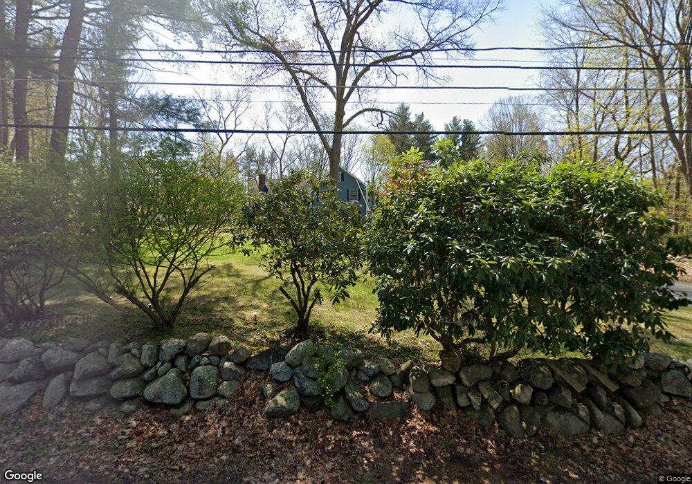
150 Powers Rd Sudbury, MA 01776
Estimated Value: $1,042,647 - $1,132,000
4
Beds
3
Baths
2,456
Sq Ft
$443/Sq Ft
Est. Value
About This Home
This home is located at 150 Powers Rd, Sudbury, MA 01776 and is currently estimated at $1,087,162, approximately $442 per square foot. 150 Powers Rd is a home located in Middlesex County with nearby schools including Josiah Haynes Elementary School, Ephraim Curtis Middle School, and Lincoln-Sudbury Regional High School.
Ownership History
Date
Name
Owned For
Owner Type
Purchase Details
Closed on
Mar 2, 1999
Sold by
Cavallerano Anthony and Cavallerano Susan
Bought by
Miller Philip J and Miller Theresa K
Current Estimated Value
Home Financials for this Owner
Home Financials are based on the most recent Mortgage that was taken out on this home.
Original Mortgage
$240,000
Interest Rate
6.78%
Mortgage Type
Purchase Money Mortgage
Create a Home Valuation Report for This Property
The Home Valuation Report is an in-depth analysis detailing your home's value as well as a comparison with similar homes in the area
Home Values in the Area
Average Home Value in this Area
Purchase History
| Date | Buyer | Sale Price | Title Company |
|---|---|---|---|
| Miller Philip J | $329,000 | -- |
Source: Public Records
Mortgage History
| Date | Status | Borrower | Loan Amount |
|---|---|---|---|
| Open | Miller Philip J | $225,000 | |
| Closed | Miller Philip J | $240,000 |
Source: Public Records
Tax History
| Year | Tax Paid | Tax Assessment Tax Assessment Total Assessment is a certain percentage of the fair market value that is determined by local assessors to be the total taxable value of land and additions on the property. | Land | Improvement |
|---|---|---|---|---|
| 2025 | $13,798 | $942,500 | $443,200 | $499,300 |
| 2024 | $13,302 | $910,500 | $430,400 | $480,100 |
| 2023 | $13,214 | $837,900 | $398,800 | $439,100 |
| 2022 | $12,245 | $678,400 | $366,400 | $312,000 |
| 2021 | $11,663 | $619,400 | $366,400 | $253,000 |
| 2020 | $11,428 | $619,400 | $366,400 | $253,000 |
| 2019 | $11,093 | $619,400 | $366,400 | $253,000 |
| 2018 | $10,846 | $604,900 | $390,400 | $214,500 |
| 2017 | $10,154 | $572,400 | $371,600 | $200,800 |
| 2016 | $9,900 | $556,200 | $357,600 | $198,600 |
| 2015 | $9,310 | $529,000 | $344,000 | $185,000 |
| 2014 | $9,275 | $514,400 | $334,000 | $180,400 |
Source: Public Records
Map
Nearby Homes
- 2 Skyview Ln
- 42 Dakin Rd
- 1201 Old Marlboro Rd
- 8 Snowberry Ln
- 57 Longfellow Rd
- 377 Willis Rd
- 96 Forest Ridge Rd Unit 96
- 56 Seymour St
- 367 Powder Mill Rd
- 40 Rookery Ln Unit 5
- 72 Rookery Ln Unit 3
- 32 Bolton St
- 401 Emery Ln Unit 304
- 23 Deer Path Unit 5
- 56 Rookery Ln Unit 4
- 108 Hawks Perch Unit 108
- 100 Harrington Ave
- 132 Williams Rd
- 8-10 Concord Road (&356 Bostonpost)
- 1844 Main St Unit 1844
- 142 Powers Rd
- 111 Willard Grant Rd
- 158 Powers Rd
- 105 Willard Grant Rd
- 105 Willard Grant Rd Unit 105
- 147 Powers Rd
- 139 Powers Rd
- 97 Willard Grant Rd
- 84 Cedar Creek Rd
- 153 Powers Rd
- 161 Powers Rd
- 112 Willard Grant Rd
- 130 Powers Rd
- 130 Powers Rd Unit 1
- 118 Willard Grant Rd
- 106 Willard Grant Rd
- 126 Willard Grant Rd
- 96 Willard Grant Rd
- 78 Cedar Creek Rd
- 91 Willard Grant Rd
Your Personal Tour Guide
Ask me questions while you tour the home.