150 Ramshorn Rd Charlton, MA 01507
Estimated Value: $578,000 - $814,260
4
Beds
3
Baths
3,185
Sq Ft
$220/Sq Ft
Est. Value
About This Home
This home is located at 150 Ramshorn Rd, Charlton, MA 01507 and is currently estimated at $699,815, approximately $219 per square foot. 150 Ramshorn Rd is a home located in Worcester County with nearby schools including Shepherd Hill Regional High School.
Ownership History
Date
Name
Owned For
Owner Type
Purchase Details
Closed on
Aug 17, 1982
Bought by
Stewart Freddie and Stewart Denise
Current Estimated Value
Create a Home Valuation Report for This Property
The Home Valuation Report is an in-depth analysis detailing your home's value as well as a comparison with similar homes in the area
Home Values in the Area
Average Home Value in this Area
Purchase History
| Date | Buyer | Sale Price | Title Company |
|---|---|---|---|
| Stewart Freddie | -- | -- |
Source: Public Records
Mortgage History
| Date | Status | Borrower | Loan Amount |
|---|---|---|---|
| Open | Stewart Freddie | $152,800 | |
| Closed | Stewart Freddie | $100,000 | |
| Closed | Stewart Freddie | $50,000 | |
| Closed | Stewart Freddie | $100,000 |
Source: Public Records
Tax History Compared to Growth
Tax History
| Year | Tax Paid | Tax Assessment Tax Assessment Total Assessment is a certain percentage of the fair market value that is determined by local assessors to be the total taxable value of land and additions on the property. | Land | Improvement |
|---|---|---|---|---|
| 2025 | $6,993 | $628,300 | $330,800 | $297,500 |
| 2024 | $6,448 | $568,600 | $316,500 | $252,100 |
| 2023 | $6,223 | $511,300 | $287,500 | $223,800 |
| 2022 | $5,569 | $419,000 | $237,900 | $181,100 |
| 2021 | $5,771 | $384,500 | $227,700 | $156,800 |
| 2020 | $5,744 | $384,500 | $227,700 | $156,800 |
| 2019 | $5,679 | $384,500 | $227,700 | $156,800 |
| 2018 | $5,045 | $373,700 | $216,900 | $156,800 |
| 2017 | $4,893 | $347,000 | $207,900 | $139,100 |
| 2016 | $4,782 | $347,000 | $207,900 | $139,100 |
| 2015 | $4,657 | $347,000 | $207,900 | $139,100 |
| 2014 | $4,297 | $339,400 | $203,200 | $136,200 |
Source: Public Records
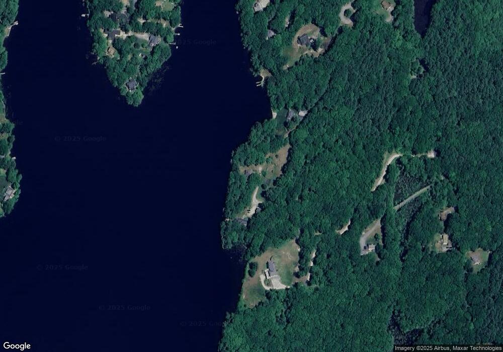
Map
Nearby Homes
- 93 Haggerty Rd
- 92 Haggerty Rd
- 30 Noble St
- 2 Potter Village Rd
- 9 Noble St
- 76 Number 6 Schoolhouse Rd
- 2 Lelandville Rd
- 3 Lelandville Rd
- 16 Sandersdale Rd
- 58 Lelandville Rd
- 74 King Rd
- Lot 1 Mason Road Extension
- 6 Blackwell Dr
- 60 Saundersdale Rd
- 337 Mason Road Extension
- 0 Hayden Pond Rd
- 0 Putnam Rd
- Lots 1+16 Pierpont Rd
- 0 Sandersdale Rd
- 20 Brentwood Dr
- 152 Ramshorn Rd
- 148 Ramshorn Rd
- 160 Ramshorn Rd
- 2 George Woods Cir
- 2 George Woods Cir
- 1 George Woods Cir
- 176 Ramshorn Rd
- 69 Lincoln Point Rd
- 0 Baker Pond Extension Unit 19061788
- 63 Lincoln Point Rd
- 146 Ramshorn Rd
- 61 Lincoln Point Rd
- 66 Lincoln Point Rd
- 59 Lincoln Point Rd
- 3 George Woods Cir
- 178 Ramshorn Rd
- 64 Lincoln Point Rd
- 144 Ramshorn Rd
- 182 Ramshorn Rd
- 62 Lincoln Point Rd