150 Shore Rd Pocasset, MA 02559
Estimated Value: $823,554 - $1,078,000
4
Beds
2
Baths
2,168
Sq Ft
$437/Sq Ft
Est. Value
About This Home
This home is located at 150 Shore Rd, Pocasset, MA 02559 and is currently estimated at $948,139, approximately $437 per square foot. 150 Shore Rd is a home located in Barnstable County with nearby schools including Bourne High School, St Margaret Regional School, and Cadence Academy Preschool - Bourne.
Ownership History
Date
Name
Owned For
Owner Type
Purchase Details
Closed on
Nov 13, 2013
Sold by
Jennie M Barry Ret and Barry Cynthia J
Bought by
Barry Cynthia J
Current Estimated Value
Purchase Details
Closed on
Sep 24, 2013
Sold by
Oneil Michael J and Oneil Maria M
Bought by
Jennie M Barry Ret
Purchase Details
Closed on
Oct 5, 2005
Sold by
Begg Jean L
Bought by
Hatch Maria M and Oneil Michael J
Home Financials for this Owner
Home Financials are based on the most recent Mortgage that was taken out on this home.
Original Mortgage
$359,650
Interest Rate
5.81%
Mortgage Type
Purchase Money Mortgage
Purchase Details
Closed on
Oct 22, 1998
Sold by
Mckeon John S
Bought by
Begg Jean L
Create a Home Valuation Report for This Property
The Home Valuation Report is an in-depth analysis detailing your home's value as well as a comparison with similar homes in the area
Home Values in the Area
Average Home Value in this Area
Purchase History
| Date | Buyer | Sale Price | Title Company |
|---|---|---|---|
| Barry Cynthia J | -- | -- | |
| Jennie M Barry Ret | $452,300 | -- | |
| Hatch Maria M | $539,000 | -- | |
| Begg Jean L | $210,000 | -- |
Source: Public Records
Mortgage History
| Date | Status | Borrower | Loan Amount |
|---|---|---|---|
| Previous Owner | Begg Jean L | $459,767 | |
| Previous Owner | Hatch Maria M | $359,650 | |
| Previous Owner | Hatch Maria M | $125,400 | |
| Previous Owner | Begg Jean L | $225,000 | |
| Previous Owner | Begg Jean L | $225,000 |
Source: Public Records
Tax History Compared to Growth
Tax History
| Year | Tax Paid | Tax Assessment Tax Assessment Total Assessment is a certain percentage of the fair market value that is determined by local assessors to be the total taxable value of land and additions on the property. | Land | Improvement |
|---|---|---|---|---|
| 2025 | $5,740 | $735,000 | $294,600 | $440,400 |
| 2024 | $5,613 | $699,900 | $280,500 | $419,400 |
| 2023 | $5,482 | $622,200 | $248,300 | $373,900 |
| 2022 | $5,260 | $521,300 | $219,700 | $301,600 |
| 2021 | $5,174 | $480,400 | $199,900 | $280,500 |
| 2020 | $4,923 | $458,400 | $198,000 | $260,400 |
| 2019 | $4,684 | $445,700 | $198,000 | $247,700 |
| 2018 | $4,490 | $426,000 | $188,600 | $237,400 |
| 2017 | $4,423 | $429,400 | $186,800 | $242,600 |
| 2016 | $4,313 | $424,500 | $186,800 | $237,700 |
| 2015 | $4,275 | $424,500 | $186,800 | $237,700 |
Source: Public Records
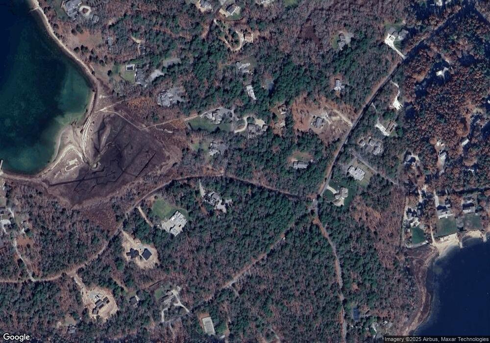
Map
Nearby Homes
- 23 Seabreeze Dr
- 60 Academy Dr
- 60 Bourne Neck Dr
- 151 - 153 Main St
- 46 Holt Rd
- 46 Holt Rd Unit A
- 16 Washington Ave
- 35 Benedict Rd
- 9 Harrison Ave
- 0 Main St Unit 73414732
- 17 Harrison Ave
- 34 Washington Ave
- 47 Harrison Ave
- 13 Laurel Hill Ct
- 203 County Rd
- 8 Van Bummel Rd
- 14 Great Rock Rd
- 232 County Rd
- 60 Sandwich Rd
- 5 Sea Knoll Ct