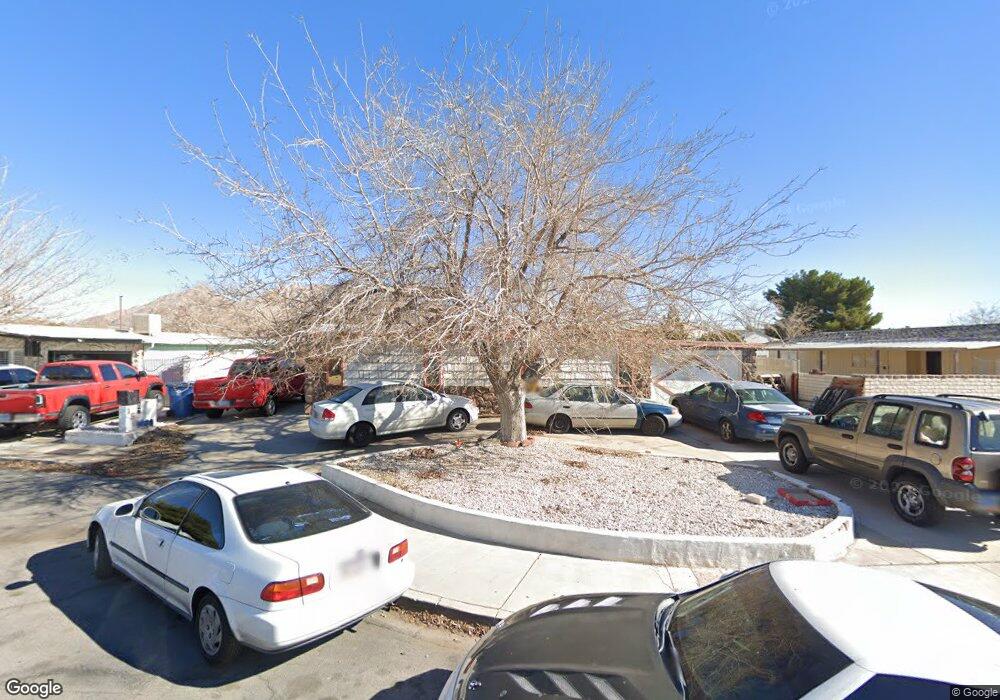
150 Sir Thomas Dr Las Vegas, NV 89110
Estimated Value: $237,289 - $309,000
3
Beds
2
Baths
2,384
Sq Ft
$113/Sq Ft
Est. Value
About This Home
This home is located at 150 Sir Thomas Dr, Las Vegas, NV 89110 and is currently estimated at $269,322, approximately $112 per square foot. 150 Sir Thomas Dr is a home located in Clark County with nearby schools including Richard J. Rundle Elementary School, Charlotte & Jerry Keller Elementary School, and Duane D. Keller Middle School.
Ownership History
Date
Name
Owned For
Owner Type
Purchase Details
Closed on
Apr 17, 2012
Sold by
Garrison Toni L
Bought by
Poppen Vince and Fiore Rick
Current Estimated Value
Purchase Details
Closed on
Jul 6, 2010
Sold by
Garrison Toni
Bought by
Garrison Toni and Toni L Garrison Living Trust
Purchase Details
Closed on
Jan 18, 2009
Sold by
Baker Robert
Bought by
Garrison Toni
Create a Home Valuation Report for This Property
The Home Valuation Report is an in-depth analysis detailing your home's value as well as a comparison with similar homes in the area
Home Values in the Area
Average Home Value in this Area
Purchase History
| Date | Buyer | Sale Price | Title Company |
|---|---|---|---|
| Poppen Vince | $63,000 | Lawyers Title Of Nevada Hen | |
| Garrison Toni | -- | None Available | |
| Garrison Toni | $97,526 | None Available |
Source: Public Records
Tax History Compared to Growth
Tax History
| Year | Tax Paid | Tax Assessment Tax Assessment Total Assessment is a certain percentage of the fair market value that is determined by local assessors to be the total taxable value of land and additions on the property. | Land | Improvement |
|---|---|---|---|---|
| 2025 | $7,117 | $46,289 | $22,400 | $23,889 |
| 2024 | $2,006 | $46,289 | $22,400 | $23,889 |
| 2023 | $2,006 | $42,405 | $18,550 | $23,855 |
| 2022 | $1,470 | $37,331 | $14,700 | $22,631 |
| 2021 | $2,176 | $35,708 | $13,650 | $22,058 |
| 2020 | $501 | $34,731 | $12,250 | $22,481 |
| 2019 | $469 | $32,606 | $9,800 | $22,806 |
| 2018 | $448 | $30,995 | $8,400 | $22,595 |
| 2017 | $755 | $25,309 | $6,650 | $18,659 |
| 2016 | $695 | $24,109 | $5,250 | $18,859 |
| 2015 | $693 | $24,434 | $4,900 | $19,534 |
| 2014 | $406 | $14,712 | $4,200 | $10,512 |
Source: Public Records
Map
Nearby Homes
- 153 Sir Thomas Dr
- 136 Sir George Dr
- 179 Sir George Dr
- 130 Bel Port Dr Unit 133
- 140 Sir David Way
- 5330 E Charleston Blvd Unit 2
- 5330 E Charleston Blvd Unit 113
- 280 Sir Phillip St
- 111 Sir Arthur Dr
- 0 E Charleston Blvd
- 147 N Christy Ln
- 332 Sir Jeffery Cir
- 360 Sir Richard Dr E
- 1200 Pleasant Brook St
- 5564 Orchard Ln Unit 133
- 1224 Pleasant Brook St
- 5600 Orchard Ln
- 5583 Orchard Ln Unit 152
- 4928 Ronan Dr
- 5353 Hollow Brook Ave
- 150 Sir Thomas Dr Unit None
- 193 Betty Ln
- 146 Sir Thomas Dr Unit 3
- 191 Betty Ln
- 155 Sir Thomas Dr
- 144 Sir Thomas Dr
- 199 Betty Ln
- 147 Sir Thomas Dr
- 192 Sir George Dr
- 145 Sir Thomas Dr
- 128 Sir George Dr
- 130 Sir George Dr
- 168 Sir George Dr
- 132 Sir George Dr
- 140 Sir George Dr
- 143 Sir Thomas Dr
- 216 Sir George Dr
- 139 Sir Thomas Dr