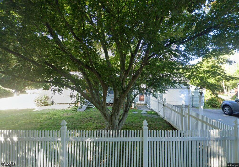
150 Stockbridge Rd Scituate, MA 02066
Estimated Value: $574,928 - $690,000
3
Beds
1
Bath
1,091
Sq Ft
$572/Sq Ft
Est. Value
About This Home
This home is located at 150 Stockbridge Rd, Scituate, MA 02066 and is currently estimated at $623,982, approximately $571 per square foot. 150 Stockbridge Rd is a home located in Plymouth County with nearby schools including Jenkins Elementary School, Lester J. Gates Middle School, and Scituate High School.
Ownership History
Date
Name
Owned For
Owner Type
Purchase Details
Closed on
Jul 28, 1994
Sold by
Hollis Scott B
Bought by
Smith Rita A
Current Estimated Value
Purchase Details
Closed on
May 13, 1988
Sold by
Paine Richard D
Bought by
Paine Richard D
Create a Home Valuation Report for This Property
The Home Valuation Report is an in-depth analysis detailing your home's value as well as a comparison with similar homes in the area
Home Values in the Area
Average Home Value in this Area
Purchase History
| Date | Buyer | Sale Price | Title Company |
|---|---|---|---|
| Smith Rita A | $115,000 | -- | |
| Paine Richard D | $38,500 | -- |
Source: Public Records
Mortgage History
| Date | Status | Borrower | Loan Amount |
|---|---|---|---|
| Open | Paine Richard D | $562,500 | |
| Closed | Paine Richard D | $180,000 | |
| Closed | Paine Richard D | $154,000 |
Source: Public Records
Tax History
| Year | Tax Paid | Tax Assessment Tax Assessment Total Assessment is a certain percentage of the fair market value that is determined by local assessors to be the total taxable value of land and additions on the property. | Land | Improvement |
|---|---|---|---|---|
| 2025 | $4,417 | $442,100 | $342,400 | $99,700 |
| 2024 | $4,297 | $414,800 | $311,300 | $103,500 |
| 2023 | $4,018 | $363,500 | $266,300 | $97,200 |
| 2022 | $4,018 | $318,400 | $225,100 | $93,300 |
| 2021 | $3,951 | $296,400 | $214,400 | $82,000 |
| 2020 | $3,843 | $284,700 | $206,100 | $78,600 |
| 2019 | $3,842 | $279,600 | $202,100 | $77,500 |
| 2018 | $3,697 | $265,000 | $191,100 | $73,900 |
| 2017 | $3,435 | $243,800 | $169,900 | $73,900 |
| 2016 | $3,146 | $222,500 | $148,600 | $73,900 |
| 2015 | $2,915 | $222,500 | $148,600 | $73,900 |
Source: Public Records
Map
Nearby Homes
- 15 Bearce Ln
- 59 Greenfield Ln
- 21 Jenkins Place
- 14 Old Country Way Unit C
- 14 Old Country Way Unit B
- 34 Ladds Way
- 19 Ford Place Unit 1
- 19 Ford Place Unit 2
- 50 First Parish Rd
- 46 Tilden Rd
- 91 Front St Unit 106
- 98 Satuit Trail
- 17 Old Oaken Bucket Rd
- 111 Elm St
- 25 Morton Place
- 115 Elm St
- 20 Grace Way Unit 20
- 6 Grace Way Unit 6
- 27 Grace Way
- 55 Crescent Ave
- 154 Stockbridge Rd
- 142 Stockbridge Rd
- 143 Stockbridge Rd
- 155 Stockbridge Rd
- 140 Stockbridge Rd
- 139 Stockbridge Rd
- 162 Stockbridge Rd
- 133 Stockbridge Rd
- 166 Stockbridge Rd
- 138 Stockbridge Rd
- 12 Bearce Ln
- 163 Stockbridge Rd
- 149 Stockbridge Rd
- 5 Bearce Ln
- 157 Stockbridge Rd
- 134 Stockbridge Rd
- 171 Stockbridge Rd
- 170 Stockbridge Rd
- 170 Stockbridge Rd Unit none
- 9 Bearce Ln
Your Personal Tour Guide
Ask me questions while you tour the home.