150 The Bluff Unit 7 Branson, MO 65616
Table Rock NeighborhoodEstimated Value: $224,000 - $275,000
--
Bed
--
Bath
1,164
Sq Ft
$211/Sq Ft
Est. Value
About This Home
This home is located at 150 The Bluff Unit 7, Branson, MO 65616 and is currently estimated at $245,805, approximately $211 per square foot. 150 The Bluff Unit 7 is a home located in Taney County with nearby schools including Cedar Ridge Primary, Cedar Ridge Intermediate School, and Cedar Ridge Elementary School.
Ownership History
Date
Name
Owned For
Owner Type
Purchase Details
Closed on
Aug 17, 2022
Sold by
Wayne Mclendon Odis and Wayne Diane Elizabeth
Bought by
Shepherd Rental Properties Llc
Current Estimated Value
Purchase Details
Closed on
Jun 8, 2018
Sold by
Lafever Brett
Bought by
Mclendon Odis Wayne and Mclendon Elizabeth Diane
Home Financials for this Owner
Home Financials are based on the most recent Mortgage that was taken out on this home.
Original Mortgage
$42,500
Interest Rate
4.75%
Mortgage Type
Adjustable Rate Mortgage/ARM
Purchase Details
Closed on
Nov 30, 2007
Sold by
Smart Stacey and Smart Kristy
Bought by
Williams Donnie M and Williams Rebecca A
Create a Home Valuation Report for This Property
The Home Valuation Report is an in-depth analysis detailing your home's value as well as a comparison with similar homes in the area
Home Values in the Area
Average Home Value in this Area
Purchase History
| Date | Buyer | Sale Price | Title Company |
|---|---|---|---|
| Shepherd Rental Properties Llc | -- | -- | |
| Mclendon Odis Wayne | -- | None Available | |
| Williams Donnie M | -- | -- |
Source: Public Records
Mortgage History
| Date | Status | Borrower | Loan Amount |
|---|---|---|---|
| Previous Owner | Mclendon Odis Wayne | $42,500 |
Source: Public Records
Tax History Compared to Growth
Tax History
| Year | Tax Paid | Tax Assessment Tax Assessment Total Assessment is a certain percentage of the fair market value that is determined by local assessors to be the total taxable value of land and additions on the property. | Land | Improvement |
|---|---|---|---|---|
| 2025 | $1,027 | $18,000 | -- | -- |
| 2023 | $1,027 | $19,200 | $0 | $0 |
| 2022 | $875 | $16,830 | $0 | $0 |
| 2021 | $869 | $16,830 | $0 | $0 |
| 2019 | $804 | $14,920 | $0 | $0 |
| 2018 | $704 | $13,050 | $0 | $0 |
| 2017 | $788 | $14,640 | $0 | $0 |
| 2016 | $1,126 | $20,610 | $0 | $0 |
| 2015 | $1,116 | $20,610 | $0 | $0 |
| 2014 | $751 | $14,790 | $0 | $0 |
Source: Public Records
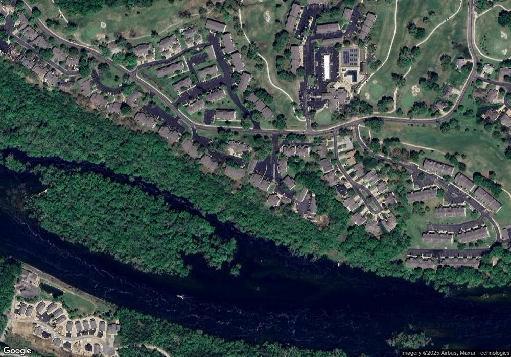
Map
Nearby Homes
- 147 Grandview Dr Unit 1
- 150 The Bluffs Unit 1
- 149 The Bluffs Unit 4
- 267 Bunker Ridge Dr Unit 11
- 123 Bunker Ridge Dr Unit 7
- 123 Bunker Ridge Dr Unit 4
- 124 Grandview Dr Unit 3
- 132 Highland Dr Unit 12
- 132 Highland Dr Unit 2
- 132 Highland Dr Unit 8
- 185 Eagle Pointe Dr
- 187 Clubhouse Dr Unit 23
- 151 Highland Dr Unit 55-3
- 200 Eagle Pointe Dr
- 169 Highland Dr Unit 1
- 169 Highland Dr Unit 11
- 112 Overlook Dr Unit 2
- 160 Mulligan Dr Unit 4
- 186 Bunker Ridge Dr Unit 2
- 186 Bunker Ridge Dr Unit 10
- 150 The Bluff Unit 10
- 150 The Bluff Unit 8
- 150 The Bluff Unit 6
- 150 The Bluff Unit 5
- 150 The Bluff Unit 1
- 150 The Bluffs Unit 12
- 150 The Bluff Unit 10
- 150 The Bluffs Unit 10
- 150 The Bluffs Unit 11
- 150 The Bluffs Unit 10 (31-10)
- 150 The Bluffs Unit 3
- 150 The Bluffs Unit 7
- 150 The Bluffs Unit 6
- 150 The Bluffs Unit 8
- 150 The Bluffs Unit 4
- 158 Bunker Ridge Dr Unit 50 10
- 147 Grandview Dr Unit 32 4
- 147 Grandview Dr Unit 4
- 147 Grandview Dr Unit 2
- 147 Grandview Dr Unit 3