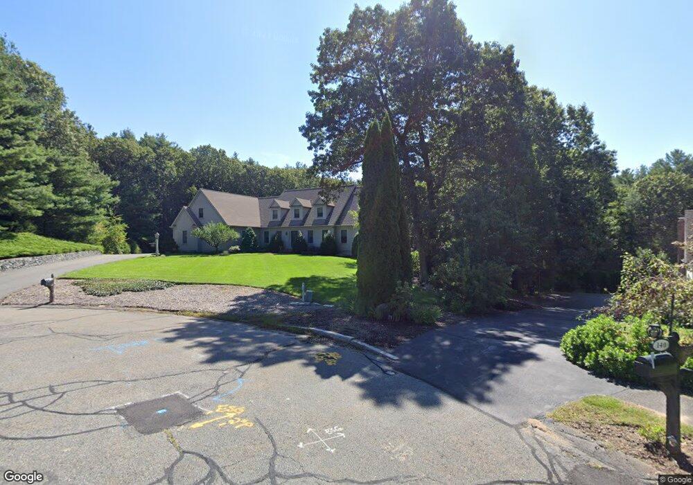
150 Tilting Rock Rd Wrentham, MA 02093
Estimated Value: $1,240,000 - $1,608,000
4
Beds
4
Baths
4,440
Sq Ft
$310/Sq Ft
Est. Value
About This Home
This home is located at 150 Tilting Rock Rd, Wrentham, MA 02093 and is currently estimated at $1,376,692, approximately $310 per square foot. 150 Tilting Rock Rd is a home located in Norfolk County with nearby schools including Delaney Elementary School, Charles E Roderick, and The Sage School.
Ownership History
Date
Name
Owned For
Owner Type
Purchase Details
Closed on
Jul 1, 2015
Sold by
Miles Mary E and Miles John R
Bought by
Mary E Miles Ret
Current Estimated Value
Create a Home Valuation Report for This Property
The Home Valuation Report is an in-depth analysis detailing your home's value as well as a comparison with similar homes in the area
Home Values in the Area
Average Home Value in this Area
Purchase History
| Date | Buyer | Sale Price | Title Company |
|---|---|---|---|
| Mary E Miles Ret | -- | -- |
Source: Public Records
Tax History Compared to Growth
Tax History
| Year | Tax Paid | Tax Assessment Tax Assessment Total Assessment is a certain percentage of the fair market value that is determined by local assessors to be the total taxable value of land and additions on the property. | Land | Improvement |
|---|---|---|---|---|
| 2025 | $13,213 | $1,140,000 | $306,600 | $833,400 |
| 2024 | $12,790 | $1,065,800 | $306,600 | $759,200 |
| 2023 | $13,309 | $1,054,600 | $279,000 | $775,600 |
| 2022 | $12,690 | $928,300 | $260,500 | $667,800 |
| 2021 | $12,138 | $862,700 | $227,900 | $634,800 |
| 2020 | $12,808 | $898,800 | $203,100 | $695,700 |
| 2019 | $12,427 | $880,100 | $219,700 | $660,400 |
| 2018 | $10,985 | $771,400 | $219,600 | $551,800 |
| 2017 | $10,632 | $746,100 | $215,400 | $530,700 |
| 2016 | $10,503 | $735,500 | $209,100 | $526,400 |
| 2015 | $10,410 | $694,900 | $185,900 | $509,000 |
| 2014 | $10,515 | $686,800 | $178,800 | $508,000 |
Source: Public Records
Map
Nearby Homes
- 319 Taunton St
- 10 Nature View Dr
- 15 Nature View Dr
- 362 East St
- 11 Earle Stewart Ln
- Lot 1 - Blueberry 2 Car Plan at King Philip Estates
- Lot 8 - Blueberry 2 Car Plan at King Philip Estates
- Lot 5 - Hughes 2 car Plan at King Philip Estates
- Lot 6 - Blueberry 3 Car Plan at King Philip Estates
- Lot 2 - Camden 2 Car Plan at King Philip Estates
- Lot 7 - Cedar Plan at King Philip Estates
- Lot 4 - Hemingway 2 Car Plan at King Philip Estates
- Lot 3 - Blueberry 2 Car Plan at King Philip Estates
- Lot 3 - 14 Earle Stewart Ln
- 131 Creek St Unit 7
- 1 Lorraine Metcalf Dr
- 270 Dedham St
- 120 Hawes St
- 65 Pond St
- 791 South St Unit 5
- 140 Tilting Rock Rd
- 160 Tilting Rock Rd
- 130 Tilting Rock Rd
- 170 Tilting Rock Rd
- 120 Tilting Rock Rd
- 221 Taunton St
- 165 Tilting Rock Rd
- 215 Taunton St
- 180 Tilting Rock Rd
- 209 Taunton St
- 235 Taunton St
- 125 Tilting Rock Rd
- 197 Taunton St
- 190 Tilting Rock Rd
- 227 Taunton St
- 110 Tilting Rock Rd
- 183 Taunton St
- 177 Taunton St
- 239 Taunton St
- 5 Redbird Rd