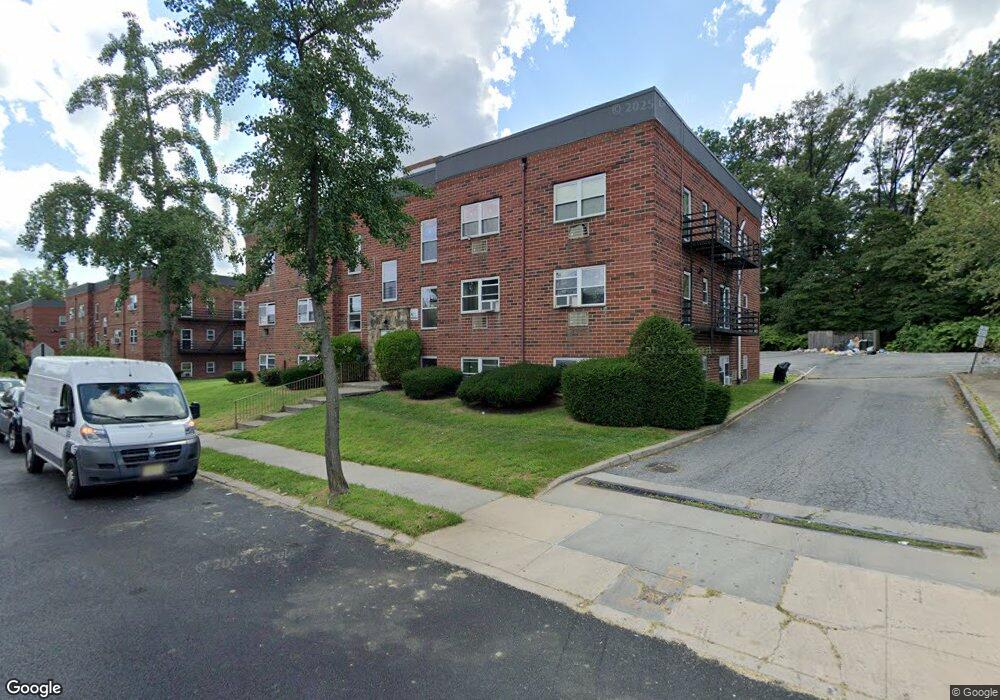
150 Trantor Place Staten Island, NY 10302
Port Richmond NeighborhoodEstimated Value: $504,755 - $606,000
--
Bed
--
Bath
1,500
Sq Ft
$374/Sq Ft
Est. Value
About This Home
This home is located at 150 Trantor Place, Staten Island, NY 10302 and is currently estimated at $561,689, approximately $374 per square foot. 150 Trantor Place is a home located in Richmond County with nearby schools including PS 21 Margaret Emery-Elm Park, I.S. 51 Edwin Markham, and Port Richmond High School.
Ownership History
Date
Name
Owned For
Owner Type
Purchase Details
Closed on
Nov 14, 2003
Sold by
Foster Joan
Bought by
Puma Roberto and Puma Maria
Current Estimated Value
Home Financials for this Owner
Home Financials are based on the most recent Mortgage that was taken out on this home.
Original Mortgage
$210,000
Interest Rate
5.67%
Mortgage Type
Fannie Mae Freddie Mac
Create a Home Valuation Report for This Property
The Home Valuation Report is an in-depth analysis detailing your home's value as well as a comparison with similar homes in the area
Home Values in the Area
Average Home Value in this Area
Purchase History
| Date | Buyer | Sale Price | Title Company |
|---|---|---|---|
| Puma Roberto | $234,000 | Fidelity National Title Insu |
Source: Public Records
Mortgage History
| Date | Status | Borrower | Loan Amount |
|---|---|---|---|
| Previous Owner | Puma Roberto | $210,000 |
Source: Public Records
Tax History Compared to Growth
Tax History
| Year | Tax Paid | Tax Assessment Tax Assessment Total Assessment is a certain percentage of the fair market value that is determined by local assessors to be the total taxable value of land and additions on the property. | Land | Improvement |
|---|---|---|---|---|
| 2025 | $4,231 | $33,360 | $3,775 | $29,585 |
| 2024 | $4,231 | $28,500 | $4,168 | $24,332 |
| 2023 | $4,036 | $19,872 | $3,812 | $16,060 |
| 2022 | $3,967 | $29,640 | $5,640 | $24,000 |
| 2021 | $4,150 | $26,460 | $5,640 | $20,820 |
| 2020 | $4,193 | $25,620 | $5,640 | $19,980 |
| 2019 | $3,927 | $24,540 | $5,640 | $18,900 |
| 2018 | $3,376 | $16,560 | $3,981 | $12,579 |
| 2017 | $3,376 | $16,560 | $4,775 | $11,785 |
| 2016 | $3,286 | $16,435 | $4,828 | $11,607 |
| 2015 | -- | $15,505 | $3,876 | $11,629 |
| 2014 | -- | $14,628 | $4,388 | $10,240 |
Source: Public Records
Map
Nearby Homes
- 616 Port Richmond Ave
- 322 Morningstar Rd
- 306 Morningstar Rd
- 646 Port Richmond Ave
- 327 Pulaski Ave
- 329 Pulaski Ave
- 325 Pulaski Ave
- 331 Pulaski Ave
- 646-662 Port Richmond Ave
- 28 Hooker Place
- 14 van Riper St
- 211 Morningstar Rd
- 186 Dixon Ave
- 39 van Riper St
- 285 Nicholas Ave
- 240 Granite Ave Unit B
- 469 Port Richmond Ave
- 47 Montell St
- 145 Morningside Ave Unit 2C
- 338 Decker Ave
- 150 Trantor Place Unit 156
- 150 Trantor Place
- 152 Trantor Place
- 148 Trantor Place
- 146 Trantor Place
- 171 Trantor Place
- 144 Trantor Place
- 142 Trantor Place
- 165 Trantor Place
- 165 Trantor Place Unit 93
- 140 Trantor Place
- 156 Walker St
- 20 Sage Ct
- 22 Sage Ct
- 150 Walker St
- 0 Sage Ct
- 12 Sage Ct
- 110 Walker St
- 456 Villa Ave
- 452 Villa Ave