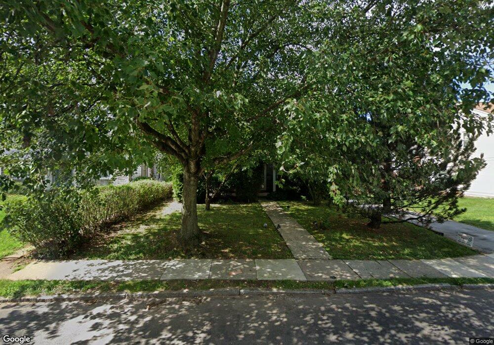
150 Trent Rd Wynnewood, PA 19096
Penn Wynne NeighborhoodEstimated Value: $764,000 - $808,000
5
Beds
4
Baths
2,925
Sq Ft
$268/Sq Ft
Est. Value
About This Home
This home is located at 150 Trent Rd, Wynnewood, PA 19096 and is currently estimated at $783,679, approximately $267 per square foot. 150 Trent Rd is a home located in Montgomery County with nearby schools including Penn Wynne Elementary School, Bala-Cynwyd Middle School, and Lower Merion High School.
Ownership History
Date
Name
Owned For
Owner Type
Purchase Details
Closed on
May 4, 2021
Sold by
Pransky Robert J and Pransky Judith
Bought by
Pollack Allen and Pollack Rachel Leah
Current Estimated Value
Home Financials for this Owner
Home Financials are based on the most recent Mortgage that was taken out on this home.
Original Mortgage
$275,000
Outstanding Balance
$208,199
Interest Rate
3.1%
Mortgage Type
New Conventional
Estimated Equity
$575,480
Purchase Details
Closed on
Aug 20, 1976
Bought by
Pransky Robert J and Pransky Judith
Create a Home Valuation Report for This Property
The Home Valuation Report is an in-depth analysis detailing your home's value as well as a comparison with similar homes in the area
Home Values in the Area
Average Home Value in this Area
Purchase History
| Date | Buyer | Sale Price | Title Company |
|---|---|---|---|
| Pollack Allen | $535,000 | None Available | |
| Pransky Robert J | $60,000 | -- |
Source: Public Records
Mortgage History
| Date | Status | Borrower | Loan Amount |
|---|---|---|---|
| Open | Pollack Allen | $275,000 |
Source: Public Records
Tax History Compared to Growth
Tax History
| Year | Tax Paid | Tax Assessment Tax Assessment Total Assessment is a certain percentage of the fair market value that is determined by local assessors to be the total taxable value of land and additions on the property. | Land | Improvement |
|---|---|---|---|---|
| 2025 | $8,073 | $193,310 | -- | -- |
| 2024 | $8,073 | $193,310 | -- | -- |
| 2023 | $7,736 | $193,310 | $0 | $0 |
| 2022 | $7,593 | $193,310 | $0 | $0 |
| 2021 | $7,420 | $193,310 | $0 | $0 |
| 2020 | $7,239 | $193,310 | $0 | $0 |
| 2019 | $7,111 | $193,310 | $0 | $0 |
| 2018 | $7,111 | $193,310 | $0 | $0 |
| 2017 | $6,850 | $193,310 | $0 | $0 |
| 2016 | $6,775 | $193,310 | $0 | $0 |
| 2015 | $6,316 | $193,310 | $0 | $0 |
| 2014 | $6,316 | $193,310 | $0 | $0 |
Source: Public Records
Map
Nearby Homes
- 111 Harrogate Rd
- 1460 Drayton Ln
- 222 Harrogate Rd
- 243 Rock Glen Rd
- 1406 Greywall Ln
- 1218 Weymouth Rd
- 7661 Overbrook Ave
- 400 Witley Rd
- 978 Township Line Rd
- 407 Oakwynne Dr
- 7530 Greenhill Rd
- 433 Haverford Rd
- 6324 City Ave
- 7641 Brentwood Rd
- 1843-45 N 72nd St
- 7102 City Ave
- 7519 Brookhaven Rd
- 7517 Brookhaven Rd
- 1635 Pennington Rd
- 1721 N 72nd St