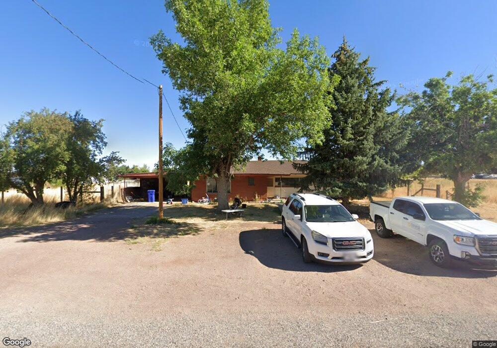
150 W 100 St N Kanosh, UT 84637
Estimated Value: $245,000 - $541,000
--
Bed
--
Bath
--
Sq Ft
1.25
Acres
About This Home
This home is located at 150 W 100 St N, Kanosh, UT 84637 and is currently estimated at $383,490. 150 W 100 St N is a home.
Ownership History
Date
Name
Owned For
Owner Type
Purchase Details
Closed on
Mar 28, 2013
Sold by
Huber Rey A and Huber Cynthia L
Bought by
Huber Rey A and Huber Cynthia L
Current Estimated Value
Purchase Details
Closed on
Apr 17, 2012
Sold by
Huber Rey A and Huber Cynthia L
Bought by
Huber Rey A and Rey A Huber Trust
Purchase Details
Closed on
Jun 28, 2007
Sold by
Huber Max A
Bought by
Huber Rey A and Huber Cynthia L
Home Financials for this Owner
Home Financials are based on the most recent Mortgage that was taken out on this home.
Original Mortgage
$120,300
Interest Rate
6.41%
Mortgage Type
New Conventional
Purchase Details
Closed on
Aug 25, 2006
Sold by
Huber Ina M
Bought by
Huber Ina M
Create a Home Valuation Report for This Property
The Home Valuation Report is an in-depth analysis detailing your home's value as well as a comparison with similar homes in the area
Home Values in the Area
Average Home Value in this Area
Purchase History
| Date | Buyer | Sale Price | Title Company |
|---|---|---|---|
| Huber Rey A | -- | -- | |
| Huber Rey A | -- | -- | |
| Huber Rey A | -- | -- | |
| Huber Ina M | -- | -- |
Source: Public Records
Mortgage History
| Date | Status | Borrower | Loan Amount |
|---|---|---|---|
| Previous Owner | Huber Rey A | $120,300 |
Source: Public Records
Tax History Compared to Growth
Tax History
| Year | Tax Paid | Tax Assessment Tax Assessment Total Assessment is a certain percentage of the fair market value that is determined by local assessors to be the total taxable value of land and additions on the property. | Land | Improvement |
|---|---|---|---|---|
| 2025 | $1,445 | $189,333 | $41,000 | $148,333 |
| 2024 | $1,445 | $205,858 | $40,763 | $165,095 |
| 2023 | $1,863 | $205,858 | $40,763 | $165,095 |
| 2022 | $1,295 | $121,689 | $32,610 | $89,079 |
| 2021 | $1,119 | $101,418 | $28,357 | $73,061 |
| 2020 | $977 | $89,349 | $25,779 | $63,570 |
| 2019 | $883 | $81,179 | $23,650 | $57,529 |
| 2018 | $839 | $79,029 | $21,500 | $57,529 |
| 2017 | $877 | $79,029 | $21,500 | $57,529 |
| 2016 | $635 | $59,685 | $16,125 | $43,560 |
| 2015 | $635 | $59,685 | $16,125 | $43,560 |
| 2014 | -- | $59,685 | $16,125 | $43,560 |
| 2013 | -- | $59,685 | $16,125 | $43,560 |
Source: Public Records
Map
Nearby Homes
- 115 W 200 S
- 58 E 300 South St
- 135 E 200 N
- 8610 S Highway 91
- 5098 W Hatton Rd
- Parcel # 8816
- 145 N 200 E
- 60 W Center St
- 50 N 100 Rd E
- 1565 W Sunflower Ln Unit 3
- 1615 W Sunflower Ln
- 1615 W Sunflower Ln Unit 4
- 1565 W Sunflower Ln
- 0 Tbd Black Rock Rd Unit LotWP001
- 2000 N West Frontage I-15
- 1100 S 725 Rd W
- 310 S 500 West Rd
- 190 W 400 St S
- 760 E 700 St S
- 155 E 500 St S