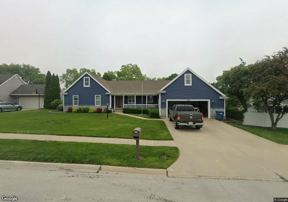
150 William R Latham Sr Dr Bourbonnais, IL 60914
Estimated Value: $312,000 - $358,000
--
Bed
--
Bath
--
Sq Ft
0.27
Acres
About This Home
This home is located at 150 William R Latham Sr Dr, Bourbonnais, IL 60914 and is currently estimated at $336,991. 150 William R Latham Sr Dr is a home located in Kankakee County with nearby schools including Alan B. Shepard Elementary School, Liberty Intermediate School, and Bourbonnais Upper Grade Center.
Ownership History
Date
Name
Owned For
Owner Type
Purchase Details
Closed on
Jul 16, 2021
Sold by
Anderson Louis E and Anderson Diana L
Bought by
Anderson Kaelyn M and Anderson David L
Current Estimated Value
Home Financials for this Owner
Home Financials are based on the most recent Mortgage that was taken out on this home.
Original Mortgage
$204,800
Outstanding Balance
$185,824
Interest Rate
2.9%
Mortgage Type
New Conventional
Estimated Equity
$151,167
Create a Home Valuation Report for This Property
The Home Valuation Report is an in-depth analysis detailing your home's value as well as a comparison with similar homes in the area
Home Values in the Area
Average Home Value in this Area
Purchase History
| Date | Buyer | Sale Price | Title Company |
|---|---|---|---|
| Anderson Kaelyn M | $256,000 | Standard Title |
Source: Public Records
Mortgage History
| Date | Status | Borrower | Loan Amount |
|---|---|---|---|
| Open | Anderson Kaelyn M | $204,800 |
Source: Public Records
Tax History Compared to Growth
Tax History
| Year | Tax Paid | Tax Assessment Tax Assessment Total Assessment is a certain percentage of the fair market value that is determined by local assessors to be the total taxable value of land and additions on the property. | Land | Improvement |
|---|---|---|---|---|
| 2024 | $7,783 | $99,649 | $8,926 | $90,723 |
| 2023 | $6,988 | $90,621 | $8,265 | $82,356 |
| 2022 | $6,727 | $84,153 | $7,966 | $76,187 |
| 2021 | $6,609 | $82,302 | $7,791 | $74,511 |
| 2020 | $6,105 | $80,099 | $7,582 | $72,517 |
| 2019 | $5,962 | $77,766 | $7,361 | $70,405 |
| 2018 | $7,424 | $93,877 | $7,110 | $86,767 |
| 2017 | $5,074 | $67,253 | $5,202 | $62,051 |
| 2016 | $4,867 | $65,060 | $5,125 | $59,935 |
| 2015 | $4,712 | $62,688 | $5,074 | $57,614 |
| 2014 | $4,585 | $63,358 | $5,074 | $58,284 |
| 2013 | -- | $64,814 | $5,074 | $59,740 |
Source: Public Records
Map
Nearby Homes
- 830 W River St
- 813 Canterbury Ln
- 850 Exeter Turn
- 891 Exeter Turn Unit E1
- 5 Inverness Dr
- lot Briarcliff Ln
- 271 Toni St
- 7 Bristol Green
- 2008 Indian Trail
- 1905 Indian Trail
- 1268 Deer Path
- 370 Windermere Way
- 213 Bernard St
- 482 S Rivard St
- Lot 5/5A Almar Pkwy
- 1785 Indian Trail
- 1269 Tower Ct
- 1365 Braemar Ct
- 635 Independence Dr
- 284 Barrington Ln
- 170 William Latham Dr
- 170 William R Latham Sr Dr
- 785 Periwinkle Turn
- 777 Olde Oak Dr
- 787 Olde Oak Dr
- 771 Olde Oak Dr
- 780 Periwinkle Turn
- 780 Oak Run Dr
- 760 Periwinkle Turn
- 772 Oak Run Dr
- 201 William R Latham Sr Dr
- 767 Olde Oak Dr
- 201 William R Latham Senior Dr Unit 201
- 207 William R Latham Sr Dr
- 806 La Pointe Dr
- 774 Olde Oak Dr
- 213 William R Latham Sr Dr
- 810 La Pointe Dr
- 810 La Pointe Dr Unit 1
- 219 William R Latham Sr Dr