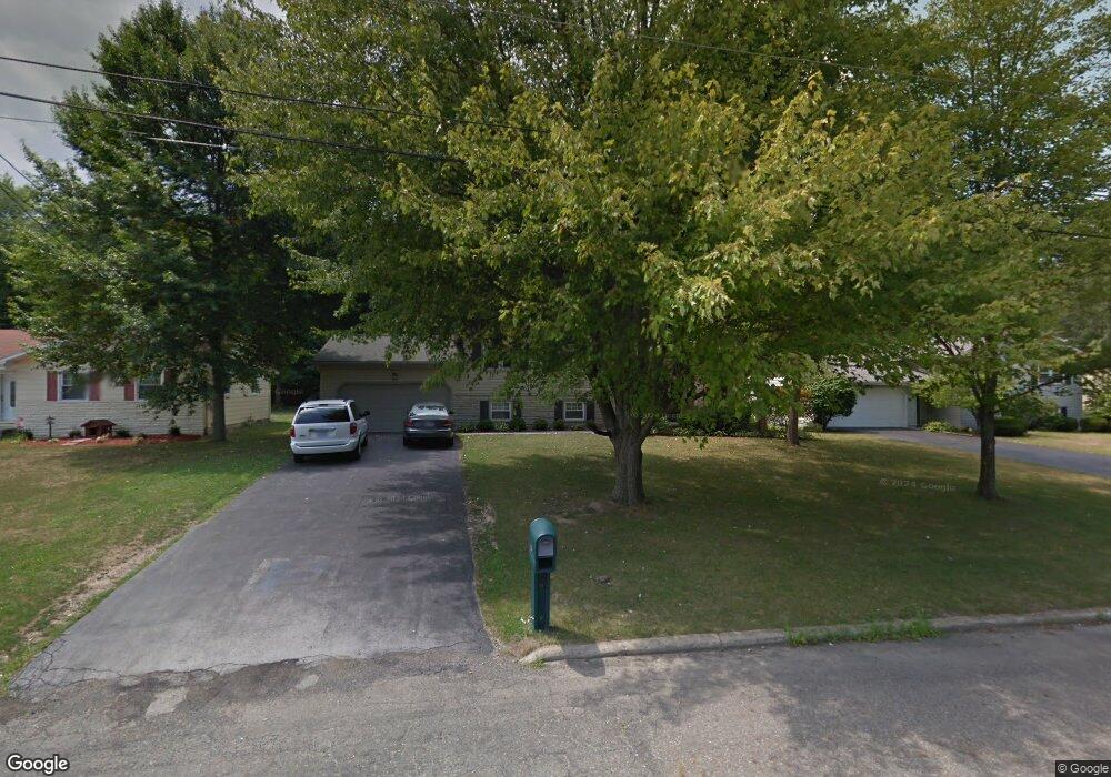
150 Wrenfield Dr Hubbard, OH 44425
Estimated Value: $238,730 - $287,000
3
Beds
2
Baths
1,716
Sq Ft
$154/Sq Ft
Est. Value
About This Home
This home is located at 150 Wrenfield Dr, Hubbard, OH 44425 and is currently estimated at $264,183, approximately $153 per square foot. 150 Wrenfield Dr is a home located in Trumbull County with nearby schools including Hubbard Elementary School, Hubbard Middle School, and Hubbard High School.
Ownership History
Date
Name
Owned For
Owner Type
Purchase Details
Closed on
Feb 4, 2004
Sold by
Costlow Guy N and Costlow Leslie A
Bought by
Senediak Stephen A and Senediak Patricia A
Current Estimated Value
Home Financials for this Owner
Home Financials are based on the most recent Mortgage that was taken out on this home.
Original Mortgage
$111,000
Interest Rate
5.88%
Mortgage Type
New Conventional
Purchase Details
Closed on
Jan 1, 1990
Bought by
Guy Guy N and Guy S
Create a Home Valuation Report for This Property
The Home Valuation Report is an in-depth analysis detailing your home's value as well as a comparison with similar homes in the area
Home Values in the Area
Average Home Value in this Area
Purchase History
| Date | Buyer | Sale Price | Title Company |
|---|---|---|---|
| Senediak Stephen A | $136,000 | -- | |
| Guy Guy N | -- | -- |
Source: Public Records
Mortgage History
| Date | Status | Borrower | Loan Amount |
|---|---|---|---|
| Previous Owner | Senediak Stephen A | $111,000 |
Source: Public Records
Tax History Compared to Growth
Tax History
| Year | Tax Paid | Tax Assessment Tax Assessment Total Assessment is a certain percentage of the fair market value that is determined by local assessors to be the total taxable value of land and additions on the property. | Land | Improvement |
|---|---|---|---|---|
| 2024 | $3,182 | $65,170 | $9,590 | $55,580 |
| 2023 | $3,182 | $65,170 | $9,590 | $55,580 |
| 2022 | $2,716 | $50,720 | $7,980 | $42,740 |
| 2021 | $2,729 | $50,720 | $7,980 | $42,740 |
| 2020 | $2,741 | $50,720 | $7,980 | $42,740 |
| 2019 | $2,475 | $43,890 | $7,980 | $35,910 |
| 2018 | $2,466 | $43,890 | $7,980 | $35,910 |
| 2017 | $2,460 | $43,890 | $7,980 | $35,910 |
| 2016 | $2,044 | $38,780 | $7,980 | $30,800 |
| 2015 | $2,052 | $38,780 | $7,980 | $30,800 |
| 2014 | $2,005 | $38,780 | $7,980 | $30,800 |
| 2013 | $2,001 | $38,780 | $7,980 | $30,800 |
Source: Public Records
Map
Nearby Homes
- 652 Meadowland Dr
- 366 Westview Ave
- 257 Westview Ave
- 6982 Mcclure Rd
- 203 Hager St
- 160 Hager St
- 323 W Liberty St
- V/L Jacobs Rd
- 124 Rebecca Ave
- 2824 Benford Ln
- 2831 Benford Ln
- 2954 Megan Cir
- 110 School St
- 3275 Beechwood Dr
- 2951 Megan Cir
- 50 Walnut St
- 3244 Nelson Ave
- 191 Maple Leaf Dr
- 312 W Park Ave
- 3234 Bell Wick Rd
- 156 Wrenfield Dr
- 138 Wrenfield Dr
- 132 Wrenfield Dr
- 166 Wrenfield Dr
- 666 Wendemere Dr
- 126 Wrenfield Dr
- 174 Wrenfield Dr
- 667 Dorchester Dr
- 656 Wendemere Dr
- 665 Wendemere Dr
- 120 Wrenfield Dr
- 180 Wrenfield Dr
- 648 Wendemere Dr
- 657 Wendemere Dr
- 651 Dorchester Dr
- 3657 Alice Ave
- 186 Wrenfield Dr
- 640 Wendemere Dr
- 643 Dorchester Dr
- 668 Dorchester Dr