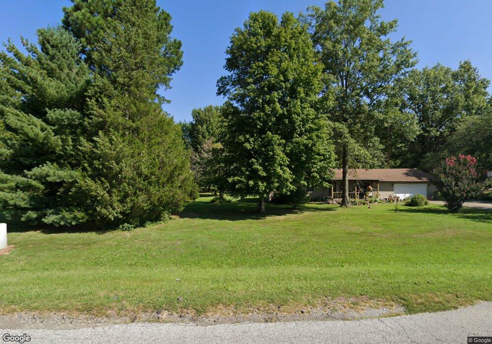
1500 Barnett Rd Harrisburg, IL 62946
Estimated Value: $231,000 - $275,000
--
Bed
--
Bath
--
Sq Ft
2.97
Acres
About This Home
This home is located at 1500 Barnett Rd, Harrisburg, IL 62946 and is currently estimated at $255,415. 1500 Barnett Rd is a home located in Saline County with nearby schools including East Side Intermediate School, Harrisburg Middle School, and Harrisburg High School.
Ownership History
Date
Name
Owned For
Owner Type
Purchase Details
Closed on
Jan 30, 2025
Sold by
West Ridge Corporation Inc and Westridge Corporation Inc
Bought by
Wbc 1 Llc
Current Estimated Value
Purchase Details
Closed on
Sep 11, 2012
Sold by
Felty Ernest L and Felty Delice M
Bought by
Felty Terry B and Felty Ernest
Purchase Details
Closed on
Jun 29, 2007
Sold by
Apple Roger C and Apple Donna M
Bought by
Felty Ernest L and Felty Delice M
Create a Home Valuation Report for This Property
The Home Valuation Report is an in-depth analysis detailing your home's value as well as a comparison with similar homes in the area
Home Values in the Area
Average Home Value in this Area
Purchase History
| Date | Buyer | Sale Price | Title Company |
|---|---|---|---|
| Wbc 1 Llc | -- | None Listed On Document | |
| Wbc 1 Llc | -- | None Listed On Document | |
| Felty Terry B | -- | None Available | |
| Felty Ernest L | $20,000 | None Available |
Source: Public Records
Tax History Compared to Growth
Tax History
| Year | Tax Paid | Tax Assessment Tax Assessment Total Assessment is a certain percentage of the fair market value that is determined by local assessors to be the total taxable value of land and additions on the property. | Land | Improvement |
|---|---|---|---|---|
| 2024 | $5,937 | $77,317 | $10,131 | $67,186 |
| 2023 | $5,386 | $65,534 | $8,587 | $56,947 |
| 2022 | $4,988 | $59,280 | $8,095 | $51,185 |
| 2021 | $5,197 | $61,112 | $8,345 | $52,767 |
| 2020 | $5,632 | $59,280 | $8,095 | $51,185 |
| 2019 | $5,737 | $59,280 | $8,095 | $51,185 |
| 2018 | $5,799 | $59,280 | $8,095 | $51,185 |
| 2017 | $5,711 | $59,280 | $8,095 | $51,185 |
| 2016 | $56 | $59,280 | $8,095 | $51,185 |
| 2015 | -- | $59,280 | $8,095 | $51,185 |
| 2014 | $5,257 | $59,280 | $8,095 | $51,185 |
| 2013 | $5,257 | $59,280 | $8,095 | $51,185 |
| 2012 | $5,257 | $59,280 | $8,095 | $51,185 |
Source: Public Records
Map
Nearby Homes
- 1116 S Holland St
- 615 Liberty Rd
- 1116 S Land St
- 1006 S Land St
- 614 W College St
- 405 S Shaw St
- 1101 S Mckinley St
- 1523 S Mckinley St
- 827 W Raymond St
- 885 Liberty Rd
- 517 W Barnett St
- 205 S Shaw St
- 734 S Mckinley St
- 500 W Sloan St
- 618 S Mckinley St
- 0000 S Commercial St
- 520 S Mckinley St
- 1111 S Roosevelt St
- 1028 S Roosevelt St
- 123 W College St
- 1508 Barnett Rd
- 235 Pin Oak Ln
- 220 Pin Oak Ln
- 1504 Barnett Rd
- 1125 Hazel St
- 1510 Barnett Rd
- 200 Pin Oak Ln
- 1117 Hazel St
- 24 Acorn Dr
- 205 Pin Oak Ln
- 1506 Barnett Rd
- 180 Pin Oak Ln
- 175 Pin Oak Ln
- 23 Acorn Dr
- 22 Acorn Dr
- 1350 W Dorris St
- 201 Southwest Dr
- 209 Southwest Dr
- 1336 W Longley St
- 1105 Hazel St