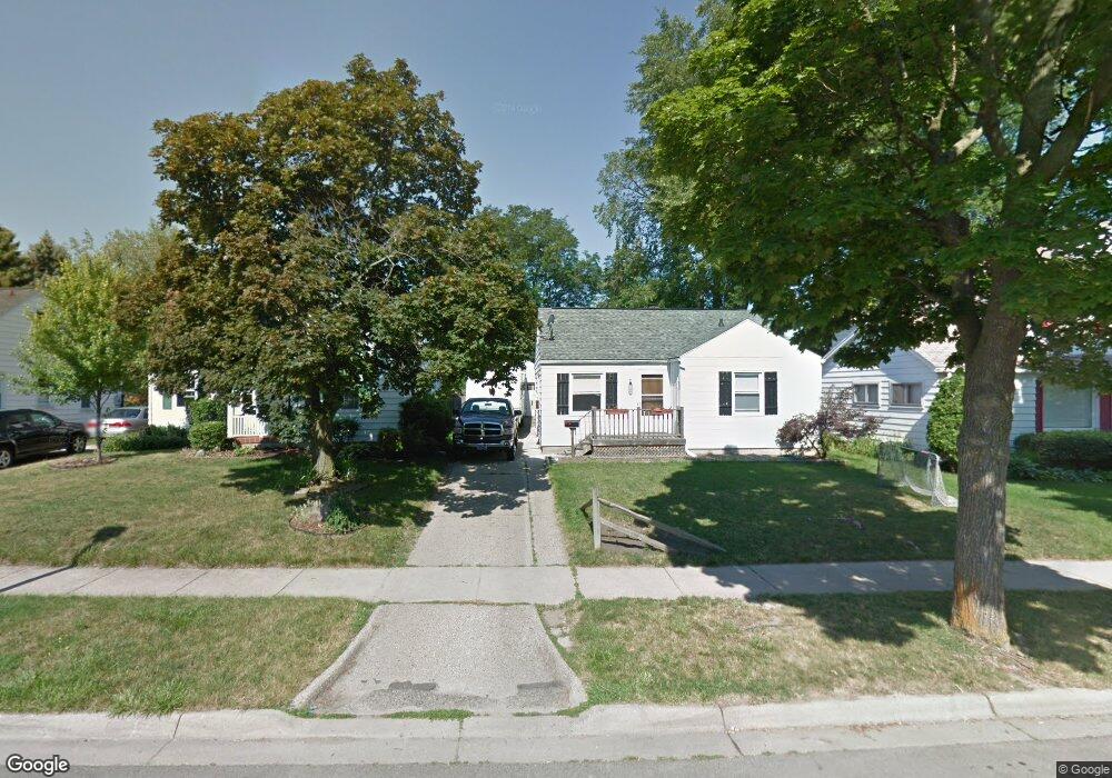
1500 Boston Blvd Lansing, MI 48910
Moores River Drive NeighborhoodEstimated Value: $103,473 - $144,000
Studio
--
Bath
780
Sq Ft
$164/Sq Ft
Est. Value
About This Home
This home is located at 1500 Boston Blvd, Lansing, MI 48910 and is currently estimated at $127,868, approximately $163 per square foot. 1500 Boston Blvd is a home located in Ingham County with nearby schools including Averill Elementary School, Pattengill Academy, and J.W. Sexton High School.
Ownership History
Date
Name
Owned For
Owner Type
Purchase Details
Closed on
Jul 17, 2008
Sold by
Smith Lester E and Smith Julie
Bought by
Smith Lester E and Smith Julie
Current Estimated Value
Home Financials for this Owner
Home Financials are based on the most recent Mortgage that was taken out on this home.
Original Mortgage
$101,500
Outstanding Balance
$66,893
Interest Rate
6.5%
Mortgage Type
Stand Alone Refi Refinance Of Original Loan
Estimated Equity
$60,975
Purchase Details
Closed on
Feb 25, 2000
Sold by
Pausch Velladean B and Parkhurst Adeline M
Bought by
Smith Lester E
Home Financials for this Owner
Home Financials are based on the most recent Mortgage that was taken out on this home.
Original Mortgage
$72,444
Interest Rate
7.99%
Mortgage Type
FHA
Create a Home Valuation Report for This Property
The Home Valuation Report is an in-depth analysis detailing your home's value as well as a comparison with similar homes in the area
Home Values in the Area
Average Home Value in this Area
Purchase History
| Date | Buyer | Sale Price | Title Company |
|---|---|---|---|
| Smith Lester E | -- | Nations Title Agency Of Mi | |
| Smith Lester E | $72,500 | -- |
Source: Public Records
Mortgage History
| Date | Status | Borrower | Loan Amount |
|---|---|---|---|
| Open | Smith Lester E | $101,500 | |
| Previous Owner | Smith Lester E | $72,444 |
Source: Public Records
Tax History
| Year | Tax Paid | Tax Assessment Tax Assessment Total Assessment is a certain percentage of the fair market value that is determined by local assessors to be the total taxable value of land and additions on the property. | Land | Improvement |
|---|---|---|---|---|
| 2025 | $2,508 | $49,300 | $7,600 | $41,700 |
| 2024 | $20 | $45,400 | $7,600 | $37,800 |
| 2023 | $2,353 | $41,200 | $7,600 | $33,600 |
| 2022 | $2,123 | $40,700 | $10,400 | $30,300 |
| 2021 | $2,079 | $39,200 | $10,400 | $28,800 |
| 2020 | $2,066 | $37,200 | $10,400 | $26,800 |
| 2019 | $1,979 | $33,900 | $10,400 | $23,500 |
| 2018 | $1,856 | $33,000 | $10,400 | $22,600 |
| 2017 | $1,776 | $33,000 | $10,400 | $22,600 |
| 2016 | $1,699 | $31,200 | $10,400 | $20,800 |
| 2015 | $1,699 | $30,500 | $20,843 | $9,657 |
| 2014 | $1,699 | $29,800 | $20,843 | $8,957 |
Source: Public Records
Map
Nearby Homes
- 1511 Pattengill Ave
- 1740 Wellington Rd Unit 103
- 1309 Hammond St
- 1327 Moores River Dr
- 1516 Moores River Dr
- 1221 Moores River Dr
- 1912 Moores River Dr
- 1120 Alsdorf St
- 1312 W Mount Hope Ave
- 1534 Lenore Ave
- 1116 George St
- 1517 Lenore Ave
- 1131 Goodrich St
- 1114 Goodrich St
- 1017 W Barnes Ave
- 1323 Cooper Ave
- 1615 William St
- 1400 Pico Ave
- 900 Middle St
- 1839 Fletcher St
- 1442 Pettis St
- 1504 Boston Blvd
- 1438 Pettis St
- 1510 Boston Blvd
- 1720 Canterbury Place
- 1434 Pettis St
- 1721 Canterbury Place
- 1514 Boston Blvd
- 1430 Pettis St
- 1520 Boston Blvd
- 1431 Pettis St
- 1726 Canterbury Place
- 1424 Pettis St
- 1501 Boston Blvd
- 1721 Abington Place
- 1505 Boston Blvd
- 1714 Pingree St
- 1727 Canterbury Place
- 1433 Boston Blvd
- 1509 Boston Blvd