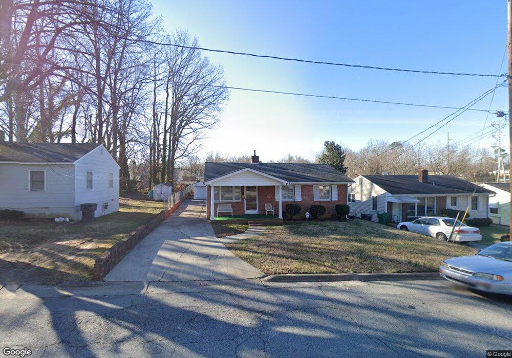
1500 Boundary Ave High Point, NC 27260
Greater High Point NeighborhoodEstimated Value: $140,000 - $176,000
3
Beds
2
Baths
1,599
Sq Ft
$103/Sq Ft
Est. Value
About This Home
This home is located at 1500 Boundary Ave, High Point, NC 27260 and is currently estimated at $164,615, approximately $102 per square foot. 1500 Boundary Ave is a home located in Guilford County with nearby schools including Parkview Village Elementary School, Southwest Guilford Middle School, and Southwest Guilford High School.
Ownership History
Date
Name
Owned For
Owner Type
Purchase Details
Closed on
Dec 8, 2017
Sold by
Mcdonald Lozie M
Bought by
Allen Christine M and Mcdonald Tony L
Current Estimated Value
Purchase Details
Closed on
Feb 6, 2014
Sold by
Mcdonald Velvet L and Allen Christine M
Bought by
Mcdonald Lozie M
Purchase Details
Closed on
Dec 17, 2012
Sold by
Mcdonald Staley and Mcdonald Lozie
Bought by
Mcdonald Velvet L and Allen Christine M
Create a Home Valuation Report for This Property
The Home Valuation Report is an in-depth analysis detailing your home's value as well as a comparison with similar homes in the area
Home Values in the Area
Average Home Value in this Area
Purchase History
| Date | Buyer | Sale Price | Title Company |
|---|---|---|---|
| Allen Christine M | -- | Chicago Title Insurance Comp | |
| Mcdonald Lozie M | -- | None Available | |
| Mcdonald Velvet L | -- | None Available |
Source: Public Records
Tax History Compared to Growth
Tax History
| Year | Tax Paid | Tax Assessment Tax Assessment Total Assessment is a certain percentage of the fair market value that is determined by local assessors to be the total taxable value of land and additions on the property. | Land | Improvement |
|---|---|---|---|---|
| 2025 | $675 | $97,900 | $14,000 | $83,900 |
| 2024 | $675 | $97,900 | $14,000 | $83,900 |
| 2023 | $675 | $97,900 | $14,000 | $83,900 |
| 2022 | $660 | $97,900 | $14,000 | $83,900 |
| 2021 | $482 | $70,000 | $9,000 | $61,000 |
| 2020 | $482 | $70,000 | $9,000 | $61,000 |
| 2019 | $482 | $70,000 | $0 | $0 |
| 2018 | $230 | $70,000 | $0 | $0 |
| 2017 | $482 | $70,000 | $0 | $0 |
| 2016 | $489 | $69,800 | $0 | $0 |
| 2015 | $984 | $69,800 | $0 | $0 |
| 2014 | $1,001 | $69,800 | $0 | $0 |
Source: Public Records
Map
Nearby Homes
- 1508 Boundary Ave
- 1602 Boundary Ave
- 1604 Boundary Ave
- 1606 Boundary Ave
- 1528 Graves Ave
- 1711 Edmondson Place
- 1515 Graves Ave
- 1702 E Martin Luther King Junior Dr
- 901 Circle Dr
- 1202 Dartmouth Ave
- 208 Hay St
- 1725 Lamb Ave
- 408 Meredith St
- 1418 Wendell Ave
- 1224 S Downing St
- 828 Willow Place
- 1201 Pearson Place
- 504 Meredith St
- 2406 Waverly Ct
- 413 Hay St
- 1414 Boundary Ave
- 1502 Boundary Ave
- 1412 Boundary Ave
- 1506 Boundary Ave
- 1701 Graves Ave
- 1410 Boundary Ave
- 1703 Graves Ave
- 1613 Graves Ave
- 1705 Graves Ave
- 1408 Boundary Ave
- 500 Ashburn St
- 1707 Graves Ave
- 501 Ashburn St
- 1609 Graves Ave
- 1709 Graves Ave
- 1510 Boundary Ave
- 503 Ashburn St
- 220 Hoskins St
- 502 Ashburn St
- 1711 Graves Ave