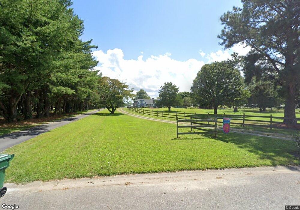
1500 Bridge Point Trail Suffolk, VA 23432
Chuckatuck NeighborhoodEstimated Value: $742,000 - $906,000
3
Beds
4
Baths
3,408
Sq Ft
$242/Sq Ft
Est. Value
About This Home
This home is located at 1500 Bridge Point Trail, Suffolk, VA 23432 and is currently estimated at $824,528, approximately $241 per square foot. 1500 Bridge Point Trail is a home located in Suffolk City with nearby schools including Oakland Elementary School, King's Fork Middle School, and King's Fork High School.
Ownership History
Date
Name
Owned For
Owner Type
Purchase Details
Closed on
Aug 23, 2018
Sold by
Newport News Shipbuilding Employees' Cu
Bought by
Worrall Mark W and Worrall Susan H
Current Estimated Value
Home Financials for this Owner
Home Financials are based on the most recent Mortgage that was taken out on this home.
Original Mortgage
$382,500
Outstanding Balance
$332,186
Interest Rate
4.5%
Mortgage Type
New Conventional
Estimated Equity
$492,342
Purchase Details
Closed on
Aug 22, 2016
Sold by
Brown Substitute Trustee Steven L and Mcbride Alvin M
Bought by
Newport News Shipbuilding Employees Cred
Create a Home Valuation Report for This Property
The Home Valuation Report is an in-depth analysis detailing your home's value as well as a comparison with similar homes in the area
Home Values in the Area
Average Home Value in this Area
Purchase History
| Date | Buyer | Sale Price | Title Company |
|---|---|---|---|
| Worrall Mark W | $450,000 | Attorney | |
| Newport News Shipbuilding Employees Cred | $628,800 | None Available |
Source: Public Records
Mortgage History
| Date | Status | Borrower | Loan Amount |
|---|---|---|---|
| Open | Worrall Mark W | $382,500 |
Source: Public Records
Tax History
| Year | Tax Paid | Tax Assessment Tax Assessment Total Assessment is a certain percentage of the fair market value that is determined by local assessors to be the total taxable value of land and additions on the property. | Land | Improvement |
|---|---|---|---|---|
| 2025 | $9,682 | $862,800 | $396,800 | $466,000 |
| 2024 | $9,682 | $832,200 | $396,800 | $435,400 |
| 2023 | $9,298 | $820,400 | $396,800 | $423,600 |
| 2022 | $9,010 | $826,600 | $396,800 | $429,800 |
| 2021 | $8,307 | $748,400 | $396,800 | $351,600 |
| 2020 | $7,767 | $699,700 | $396,800 | $302,900 |
| 2019 | $7,767 | $699,700 | $396,800 | $302,900 |
| 2018 | $8,029 | $816,200 | $468,600 | $347,600 |
| 2017 | $6,728 | $628,800 | $281,200 | $347,600 |
| 2016 | $6,728 | $628,800 | $281,200 | $347,600 |
| 2015 | $4,095 | $628,800 | $281,200 | $347,600 |
| 2014 | $4,095 | $628,800 | $281,200 | $347,600 |
Source: Public Records
Map
Nearby Homes
- 2003 Anthony Place
- 21 acr Kings Hwy
- 2228 Kings Hwy
- 127 Nansemond Pointe Dr
- 112 Sea Biscuit Run
- 103 Sea Biscuit Run
- 110 Sea Hero Ct
- 160 Secretariat Dr
- 101 Affirmed Dr
- 122 Affirmed Dr
- 4015 Sleepy Hole Rd
- 125 Ct
- MM Bayberry
- 4364 Griffin Ln
- 5901 Chuckatuck Ln
- 4487 Chatham Rd
- 2714 Burning Tree Ln
- 5504 Godwin Blvd
- 4500 Bennetts Pasture Rd
- 4315 Edgewater Ln
- 1504 Kings Hwy
- 1496 Bridge Point Trail E
- 1508 Kings Hwy
- 1492 Bridge Point Trail
- 1512 Kings Hwy
- 1497 Bridge Point Trail
- 1501 Kings Hwy
- 1488 Bridge Point Trail E
- 1493 Bridge Point Trail E
- 1496 Cedar Creek Ln
- 1505 Kings Hwy
- 1516 Kings Hwy
- 1509 Kings Hwy
- 1484 Bridge Point Trail E
- 1489 Bridge Point Trail E
- 1513 Governors Wharf
- 1484 Cedar Creek Ln
- 1524 Kings Hwy
- 1497 Cedar Creek Ln
- 1480 Bridge Point Trail
Your Personal Tour Guide
Ask me questions while you tour the home.